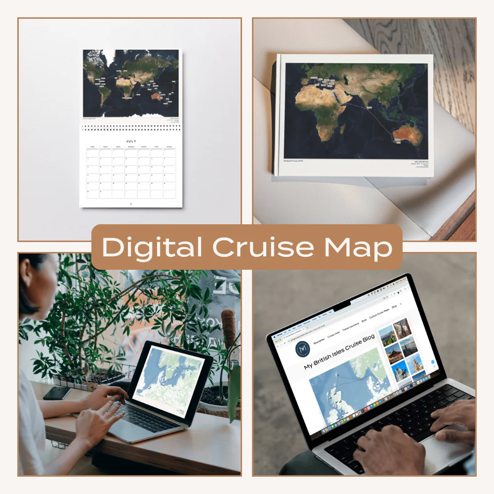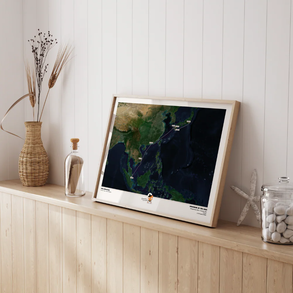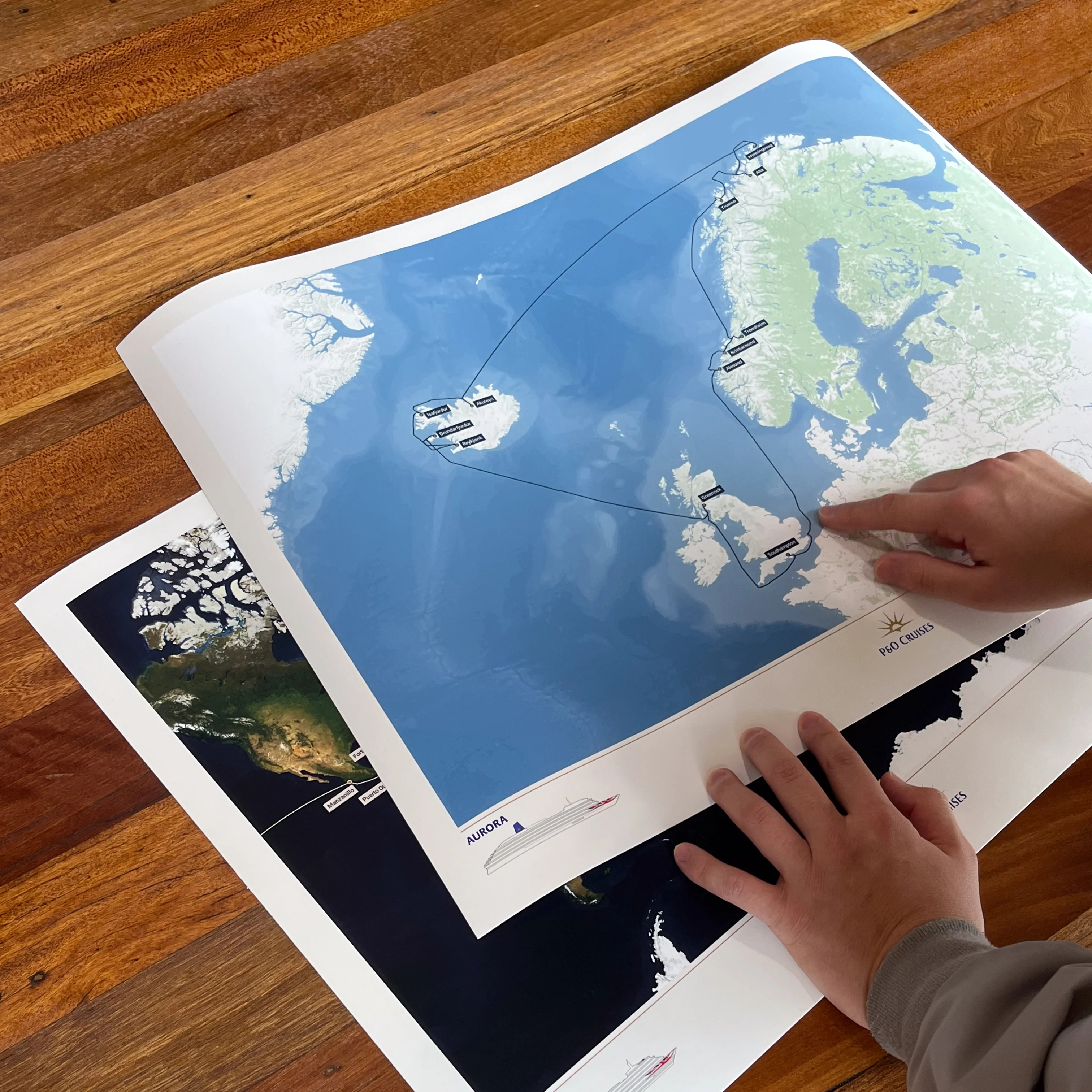
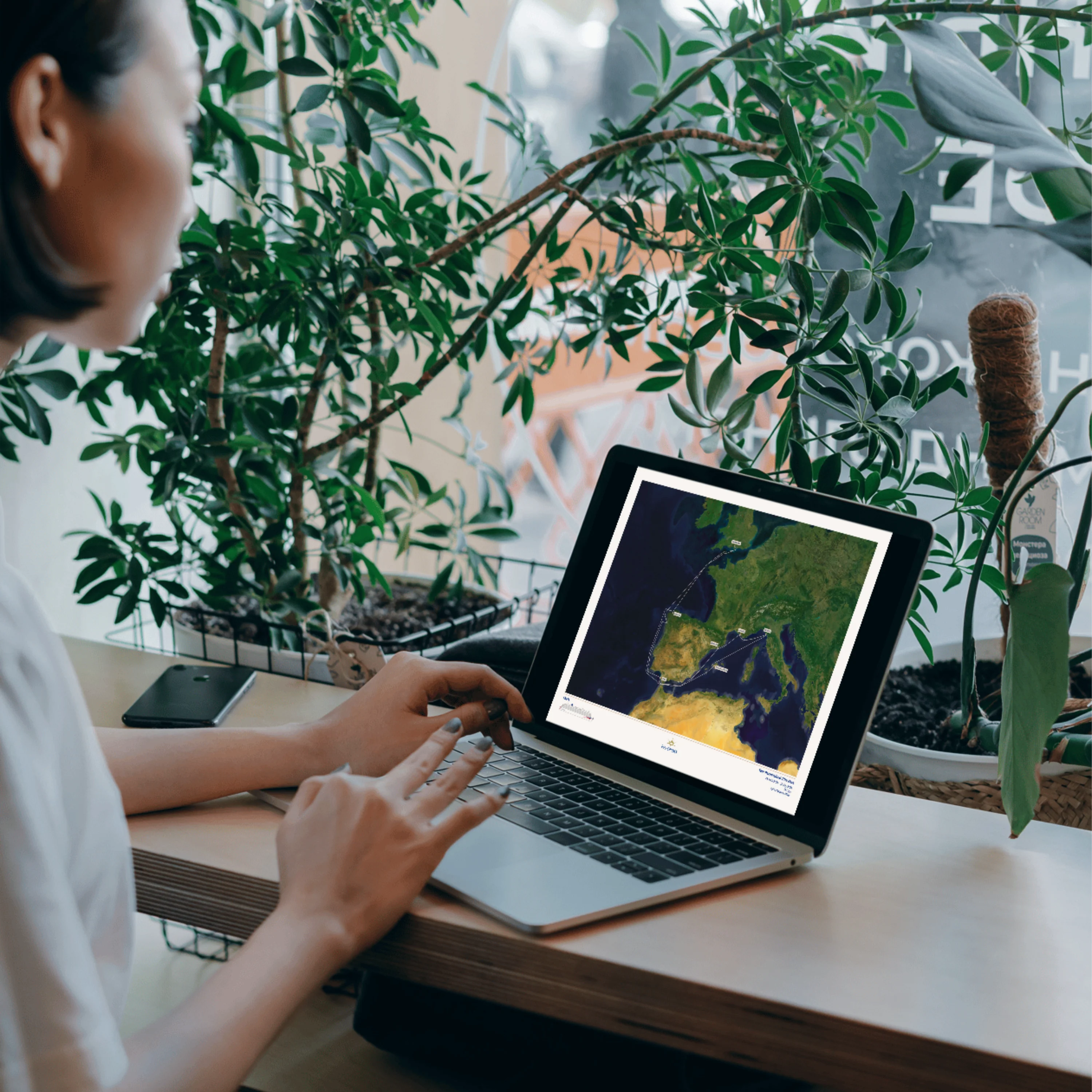
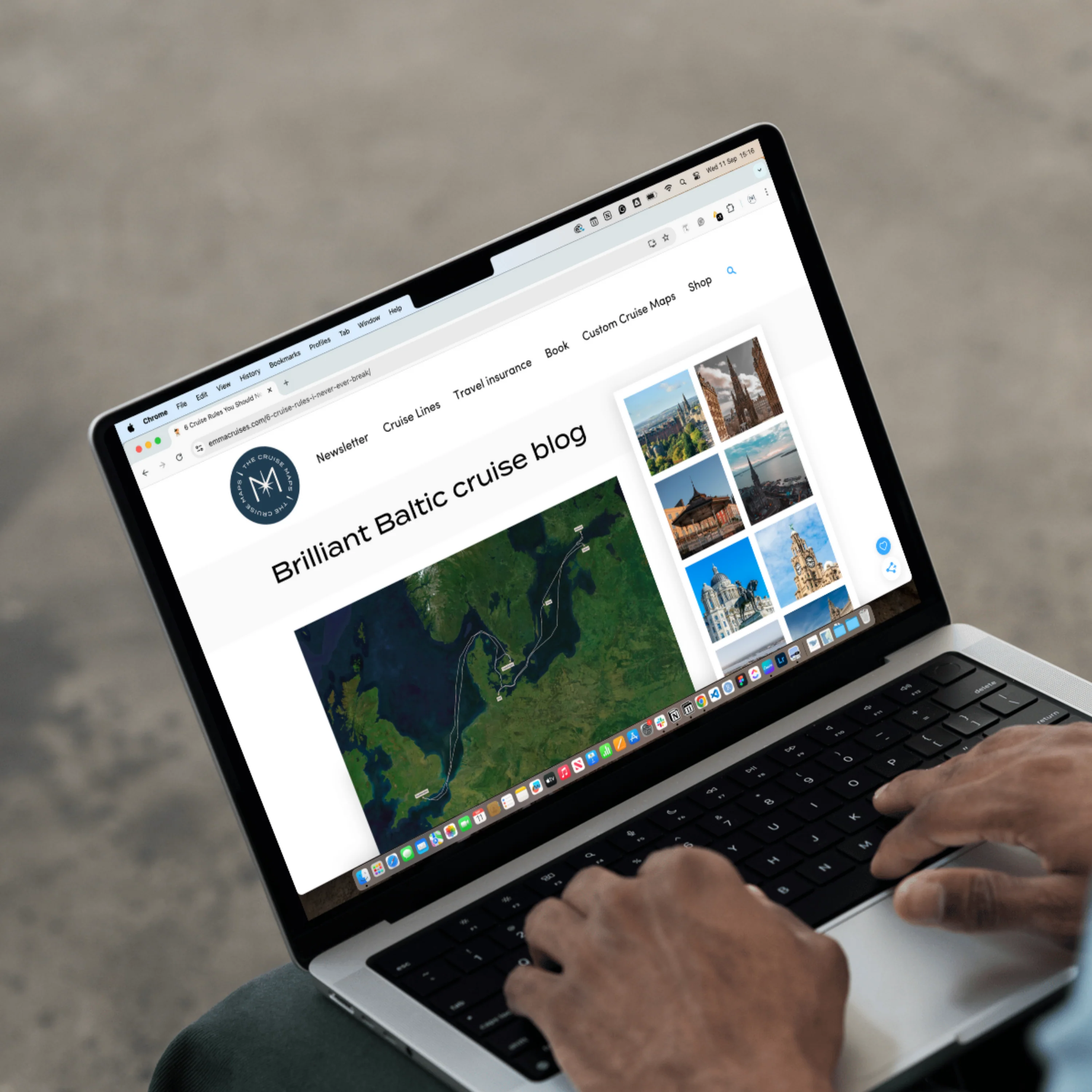
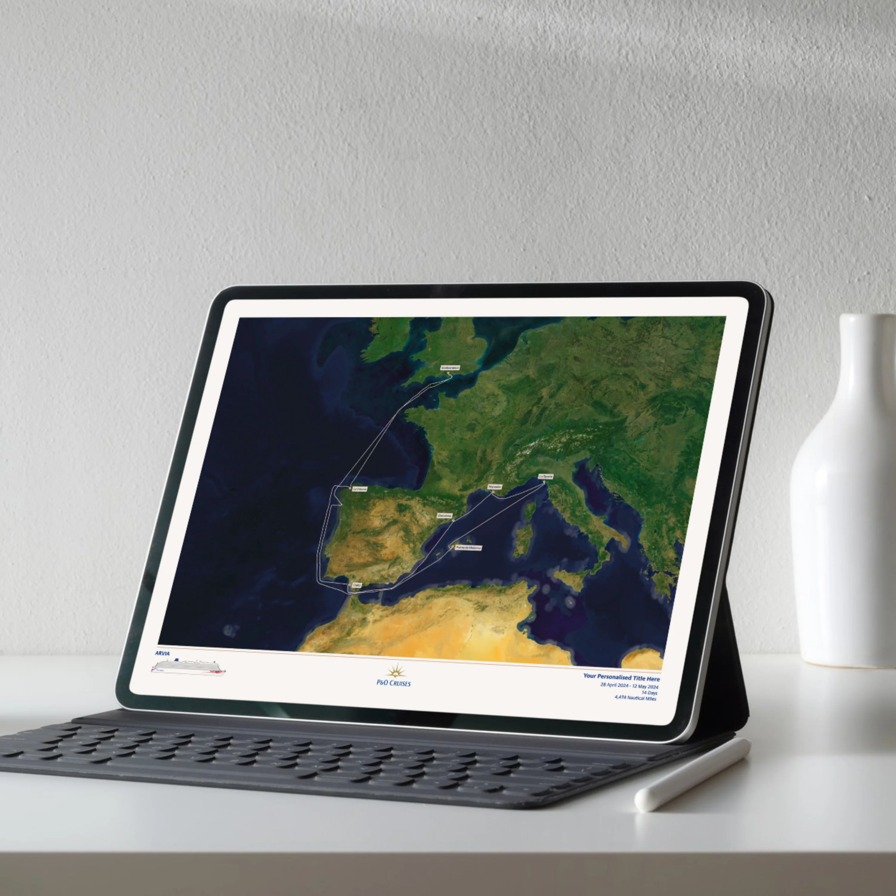
P&O Cruises Digital Cruise Map - Satellite
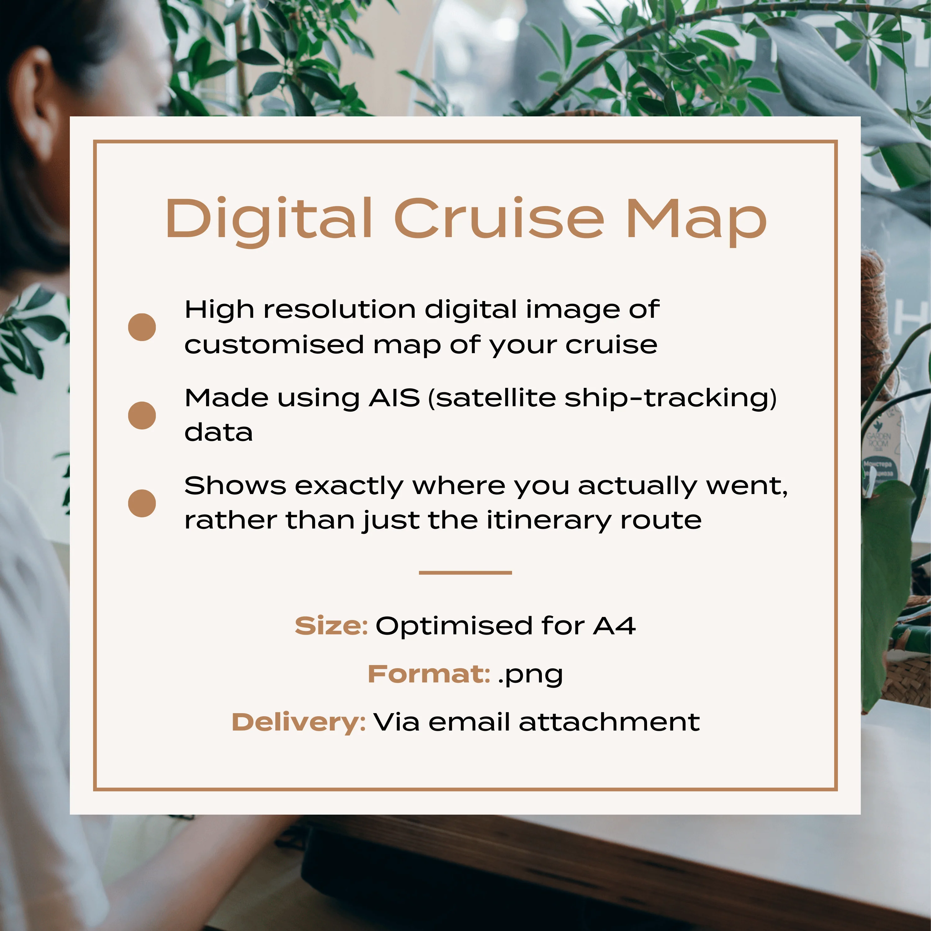
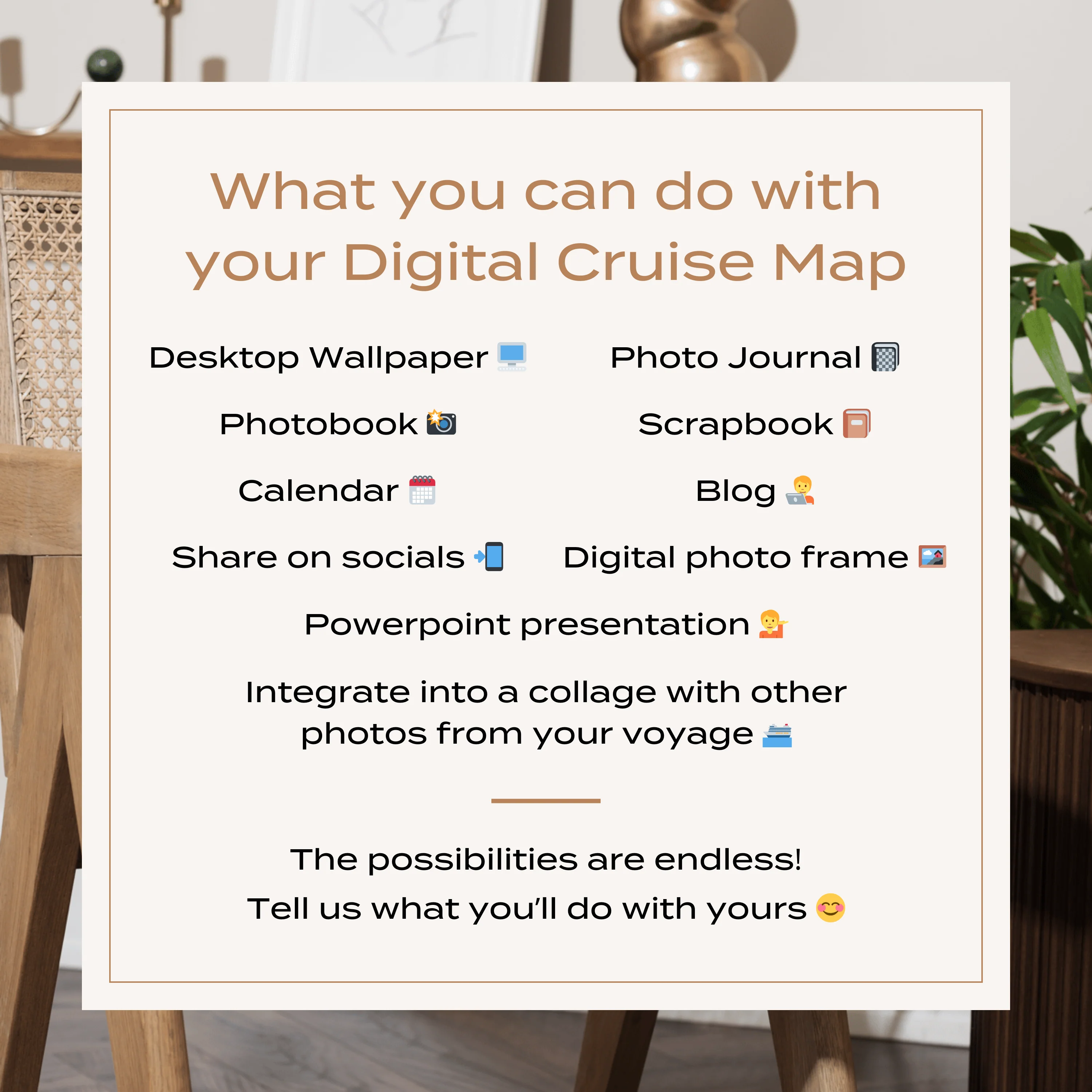
A high resolution digital image of your Custom Cruise Map, perfect for adding to a photo book or calendar, or using in a blog or photo journal.
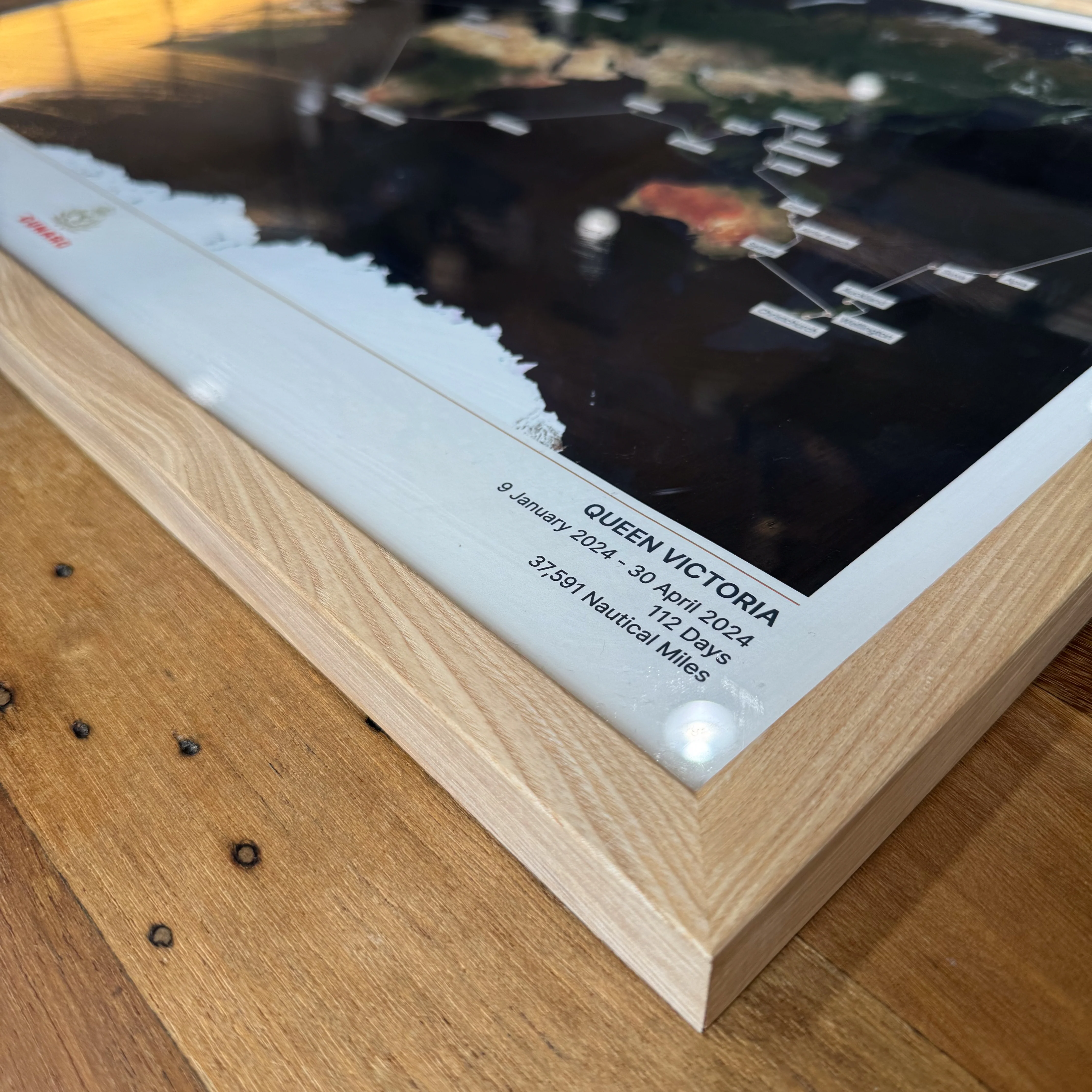
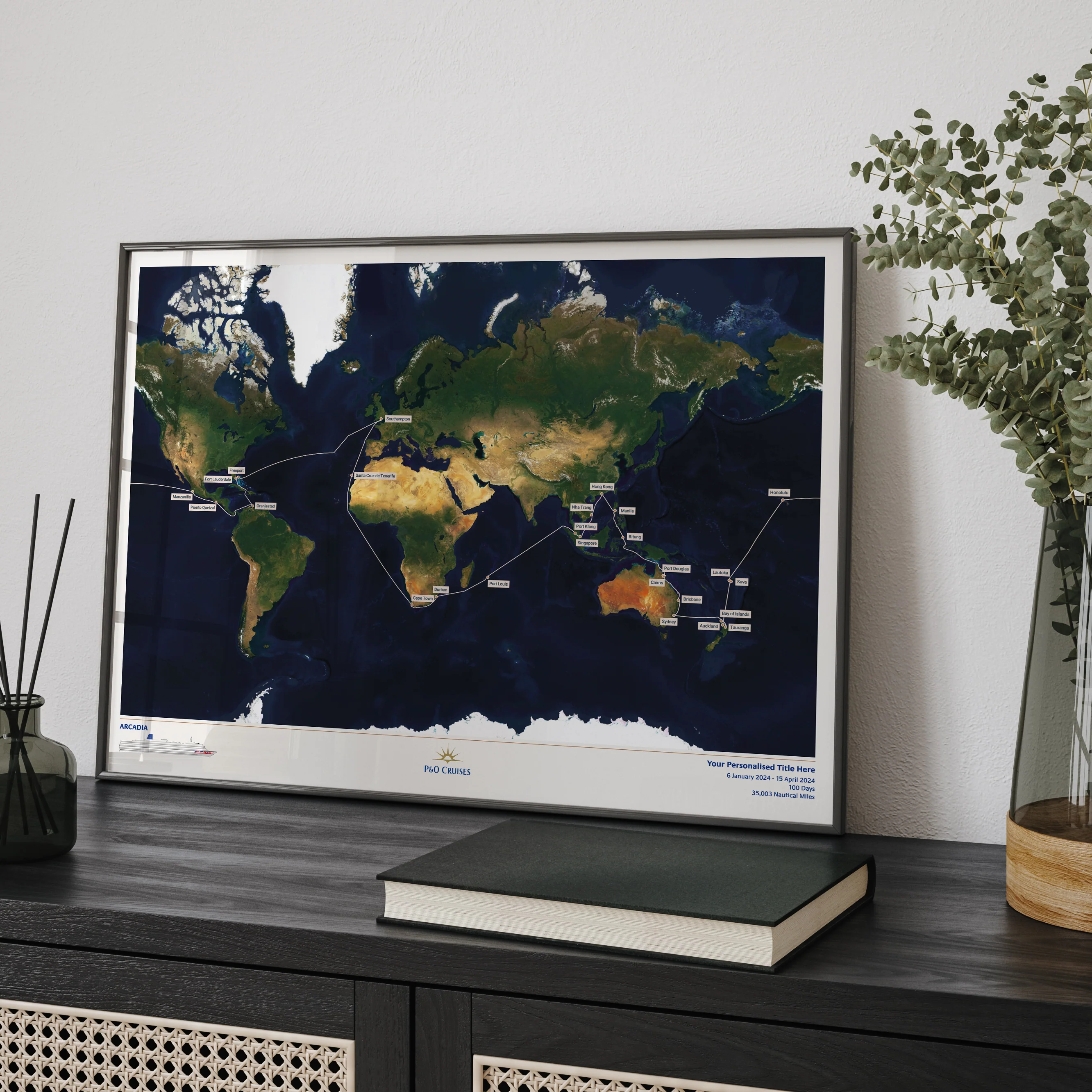
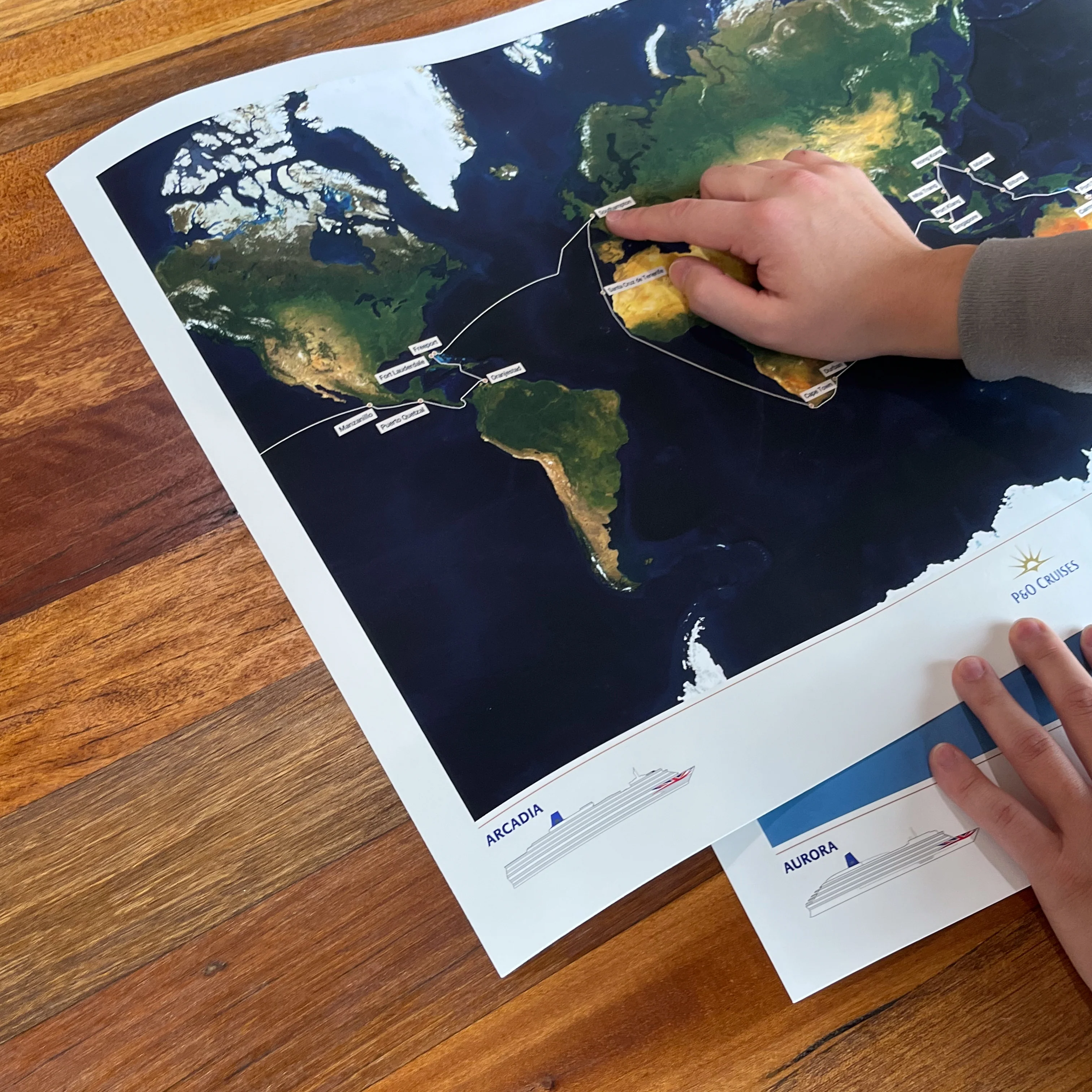
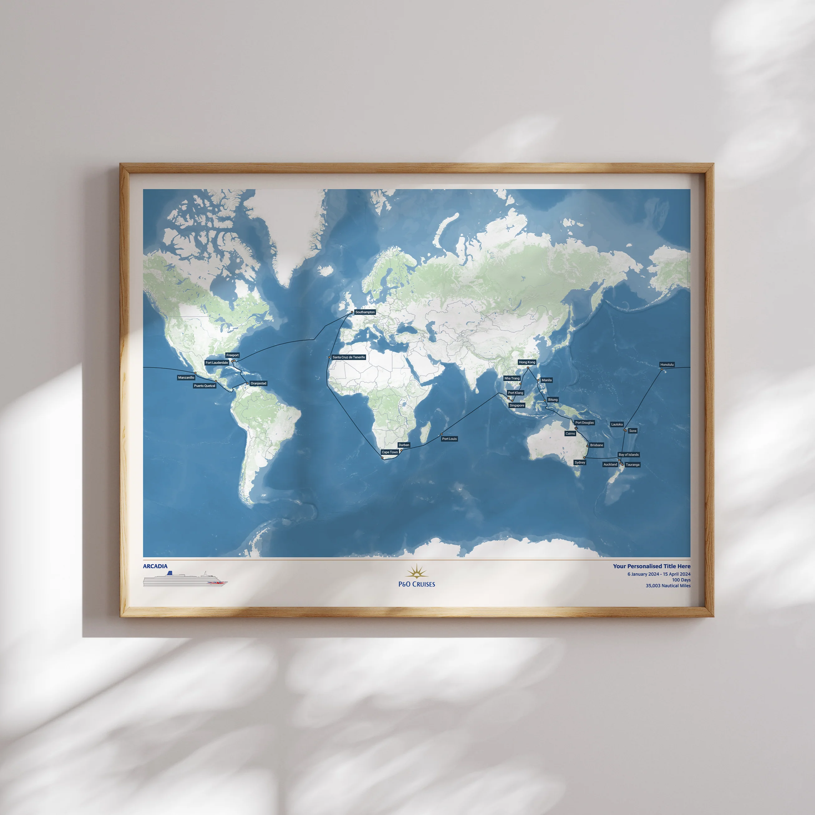
Just like our printed maps, each one is made to order using AIS (satellite ship-tracking) data to show where you actually went, rather than just the itinerary route.
For older cruises (before 2015) we’ll be in touch via email to request a few more details to create a presumed route for your map.
Please note digital prints are intended for personal use only, and must not be redistributed or resold.
Product Details:
High resolution PNG digital image file
Optimised for A4 (21 x 29.7cm)
Delivered via email attachment
Estimated delivery time: 3 working days
Original: $54.25
-70%$54.25
$16.27More Images
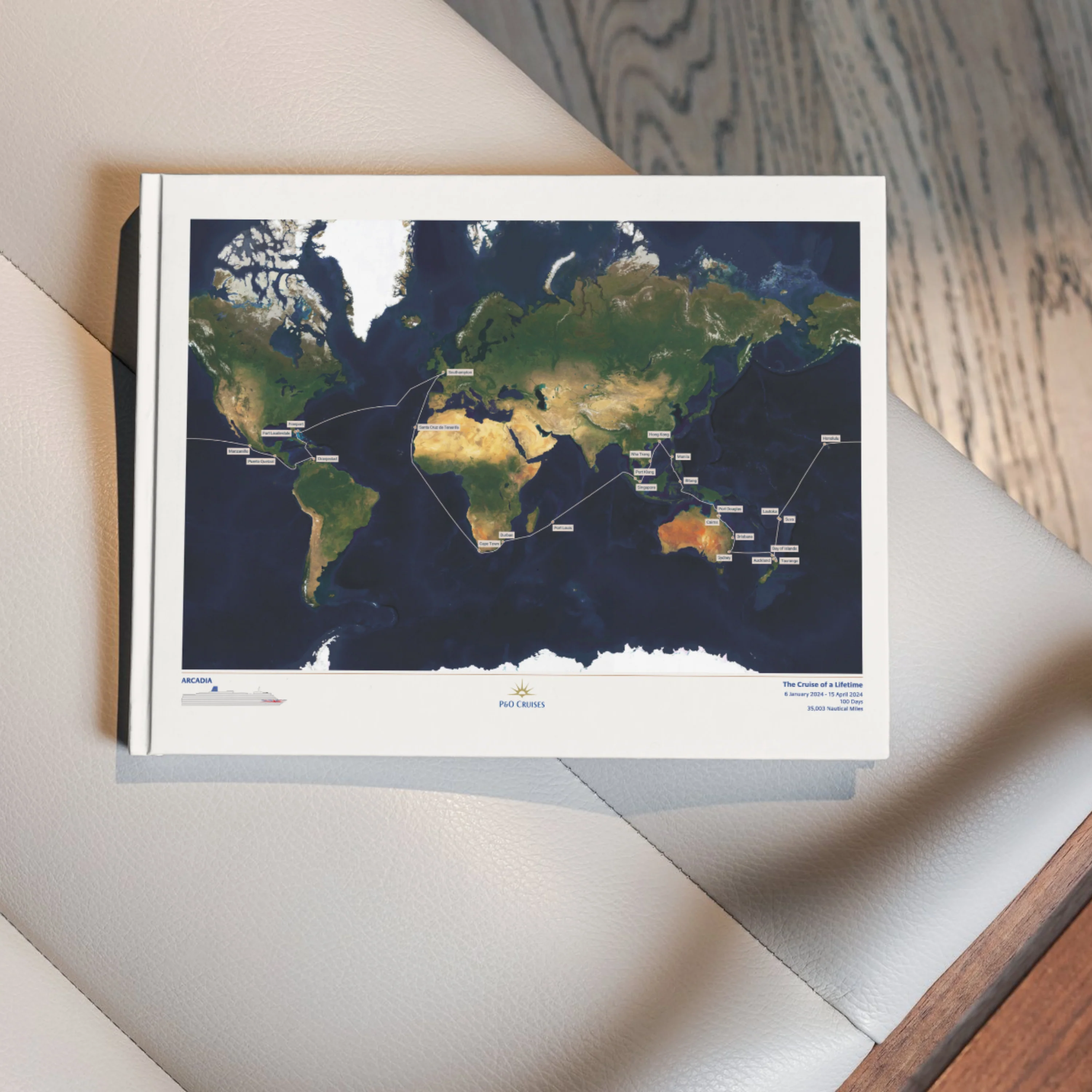
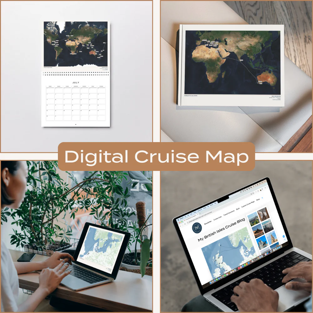
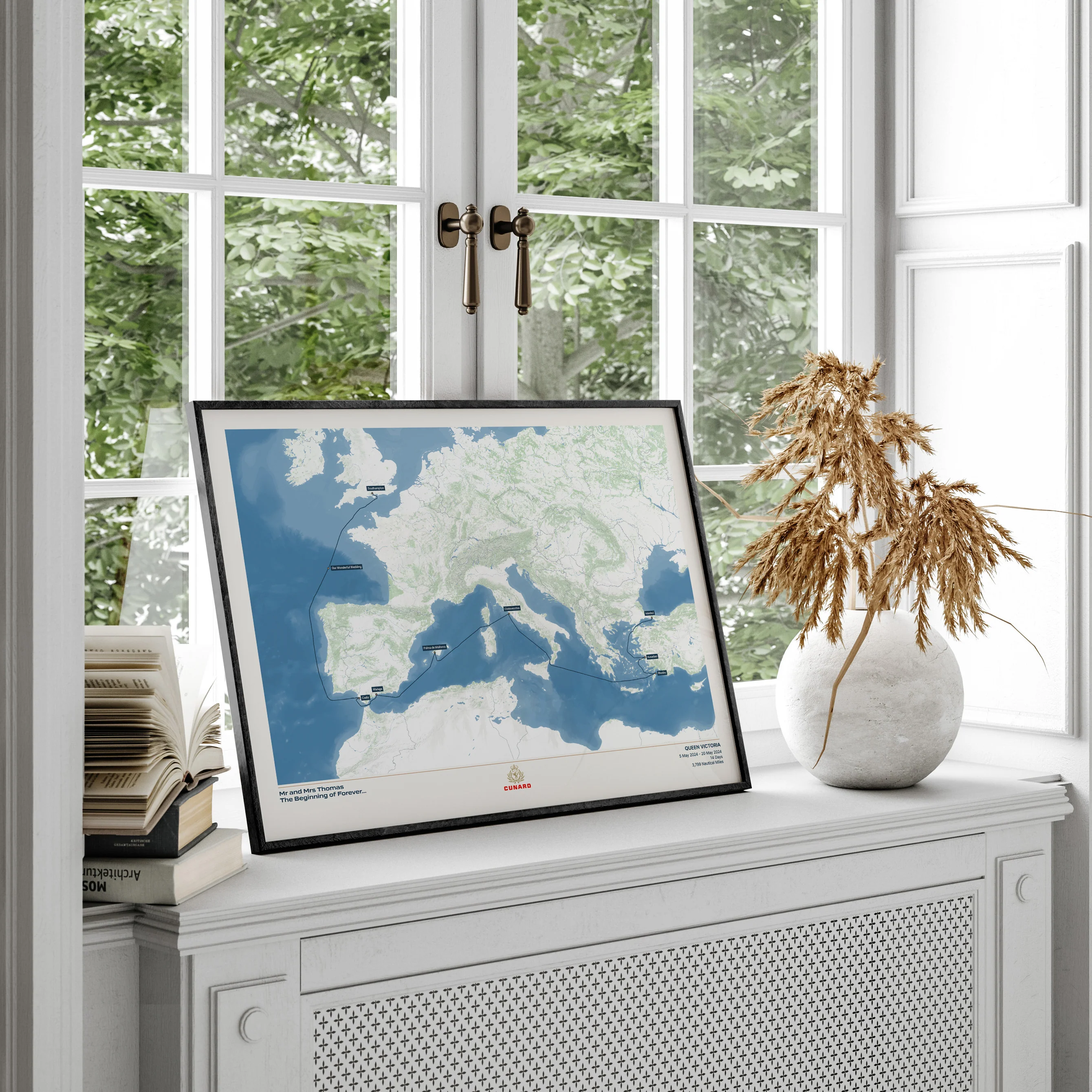
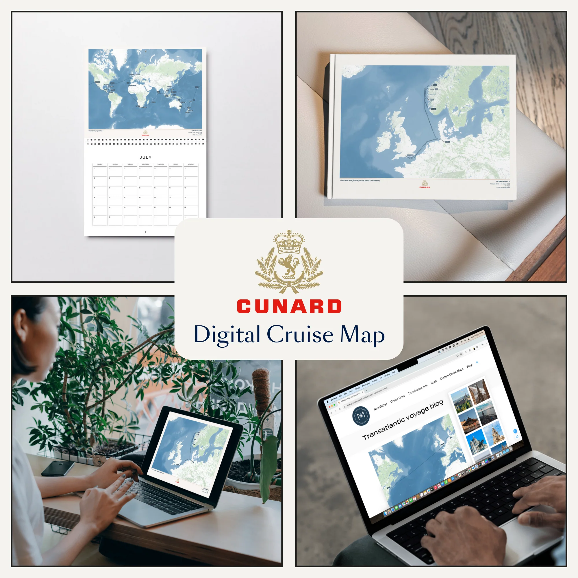
P&O Cruises Digital Cruise Map - Satellite
A high resolution digital image of your Custom Cruise Map, perfect for adding to a photo book or calendar, or using in a blog or photo journal.
Just like our printed maps, each one is made to order using AIS (satellite ship-tracking) data to show where you actually went, rather than just the itinerary route.
For older cruises (before 2015) we’ll be in touch via email to request a few more details to create a presumed route for your map.
Please note digital prints are intended for personal use only, and must not be redistributed or resold.
Product Details:
High resolution PNG digital image file
Optimised for A4 (21 x 29.7cm)
Delivered via email attachment
Estimated delivery time: 3 working days
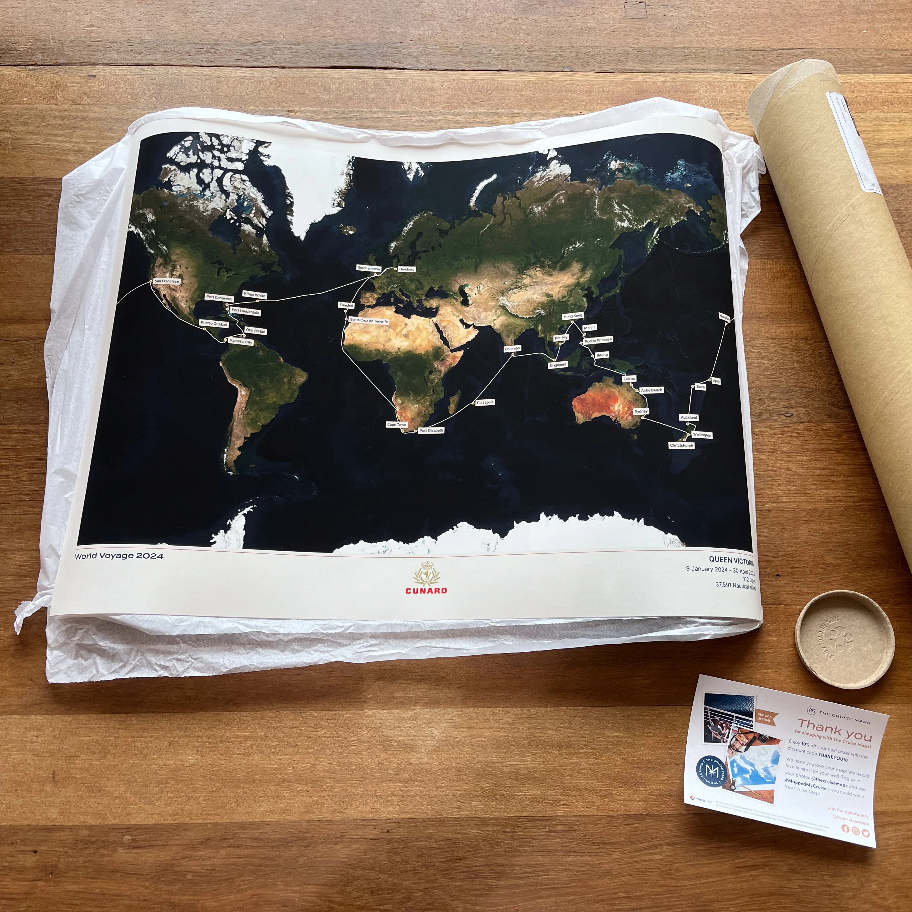
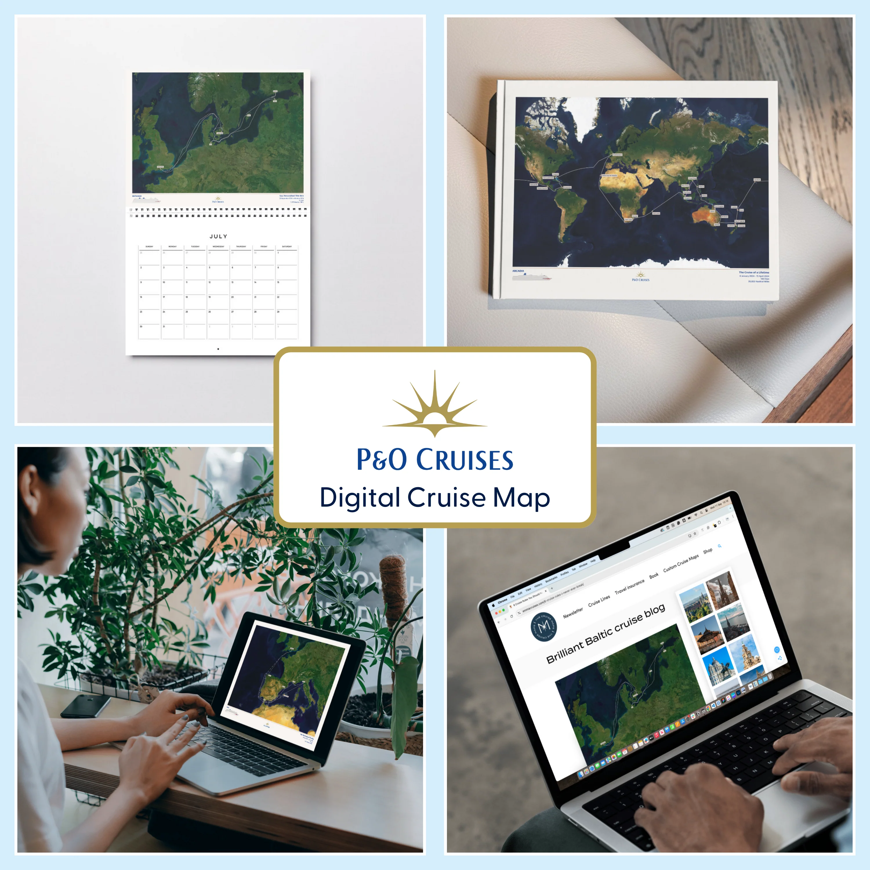
Product Information
Product Information
Shipping & Returns
Shipping & Returns
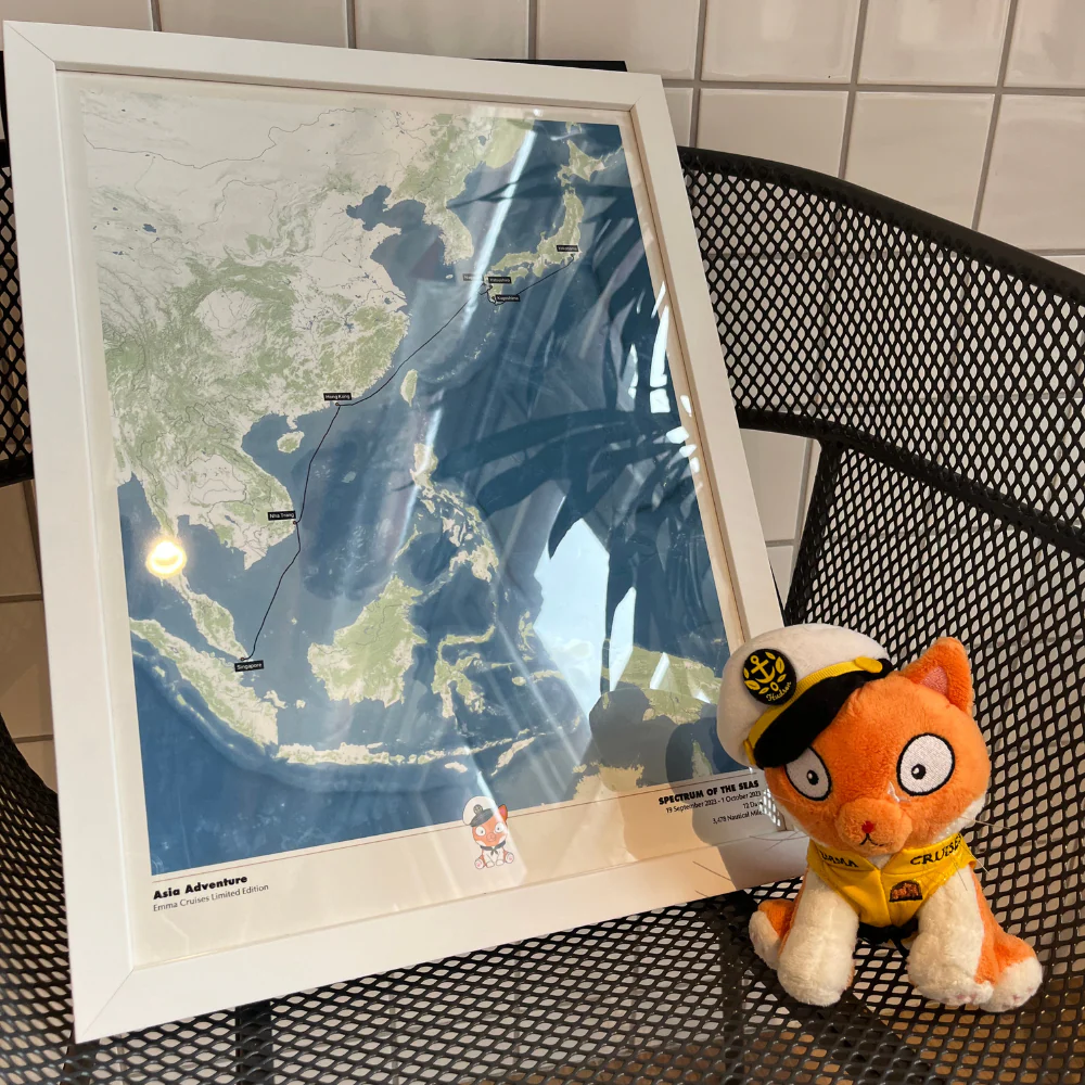
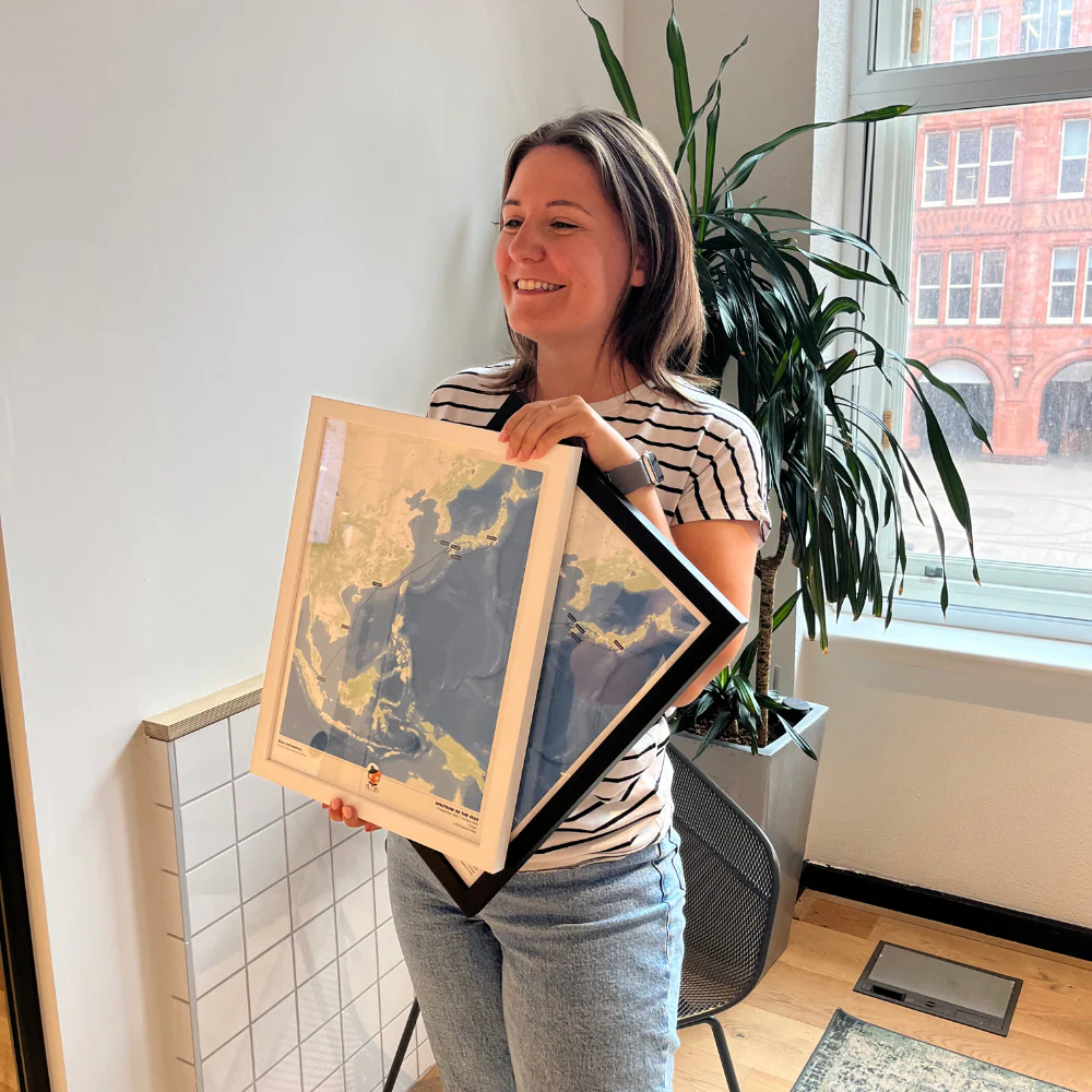
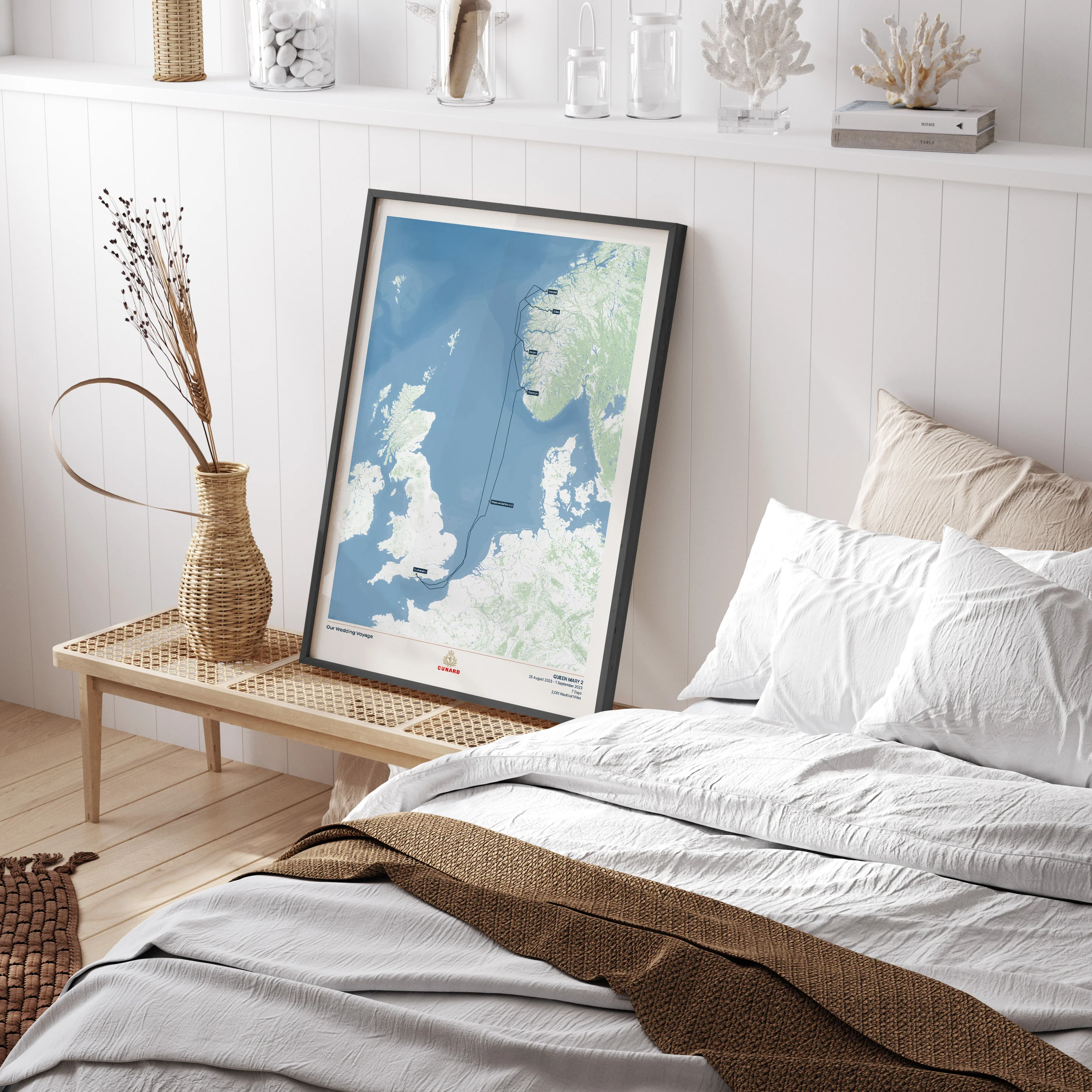
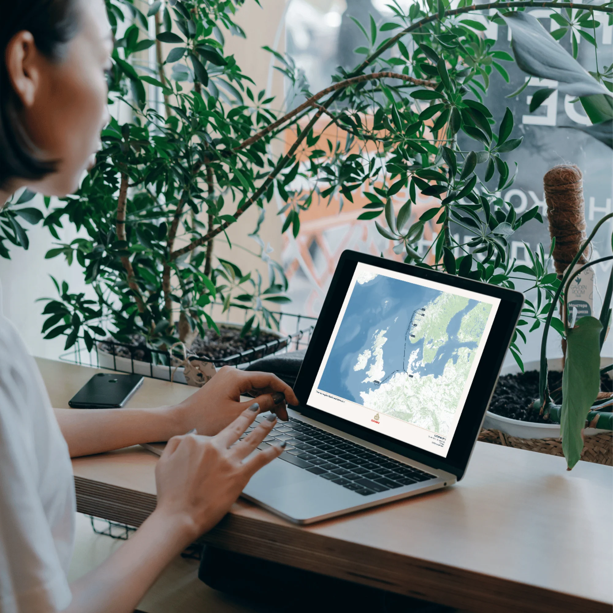
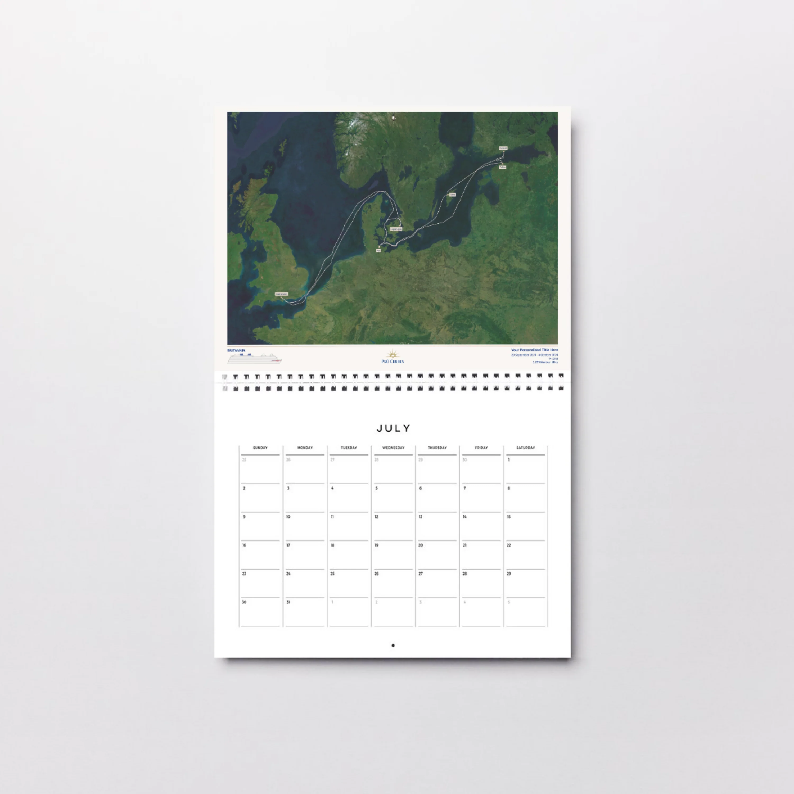
Description
A high resolution digital image of your Custom Cruise Map, perfect for adding to a photo book or calendar, or using in a blog or photo journal.
Just like our printed maps, each one is made to order using AIS (satellite ship-tracking) data to show where you actually went, rather than just the itinerary route.
For older cruises (before 2015) we’ll be in touch via email to request a few more details to create a presumed route for your map.
Please note digital prints are intended for personal use only, and must not be redistributed or resold.
Product Details:
High resolution PNG digital image file
Optimised for A4 (21 x 29.7cm)
Delivered via email attachment
Estimated delivery time: 3 working days