Fred. Olsen Custom Cruise Map - Satellite
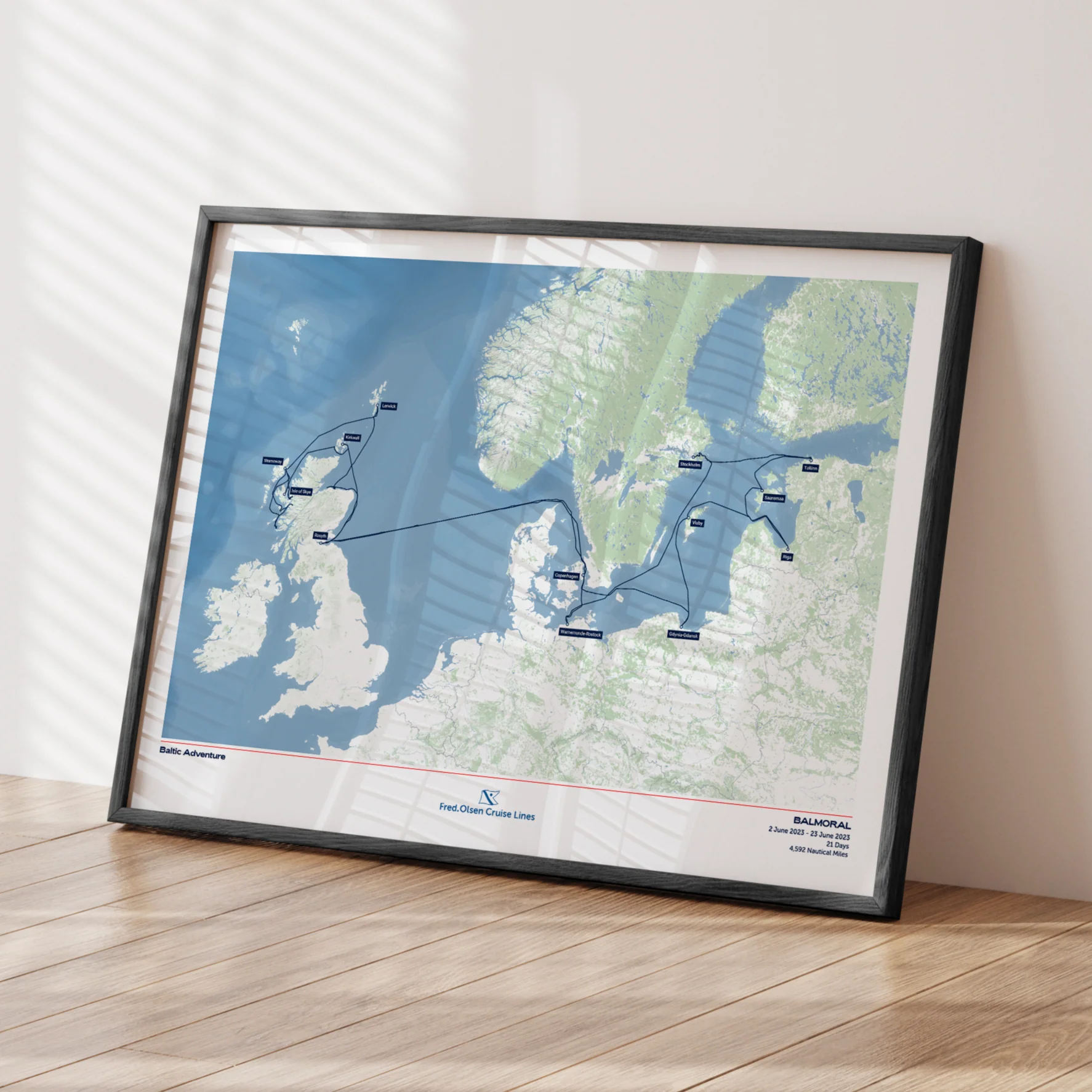
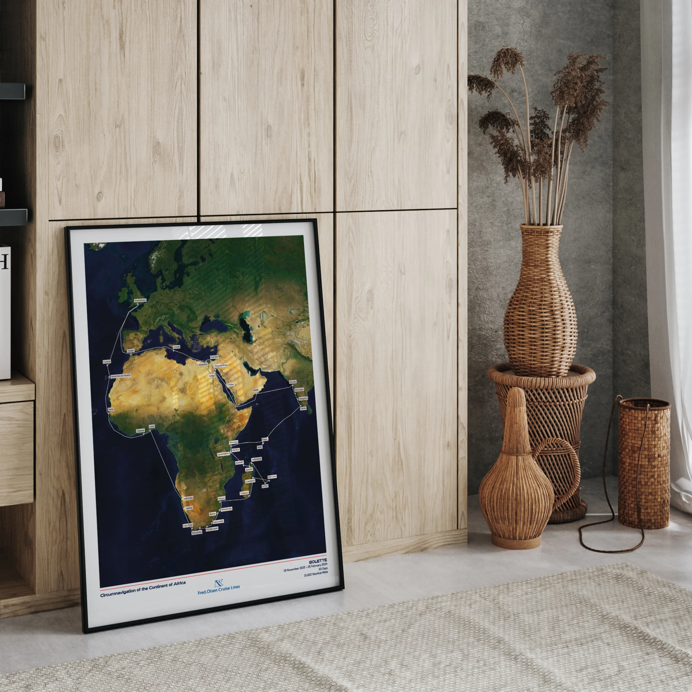
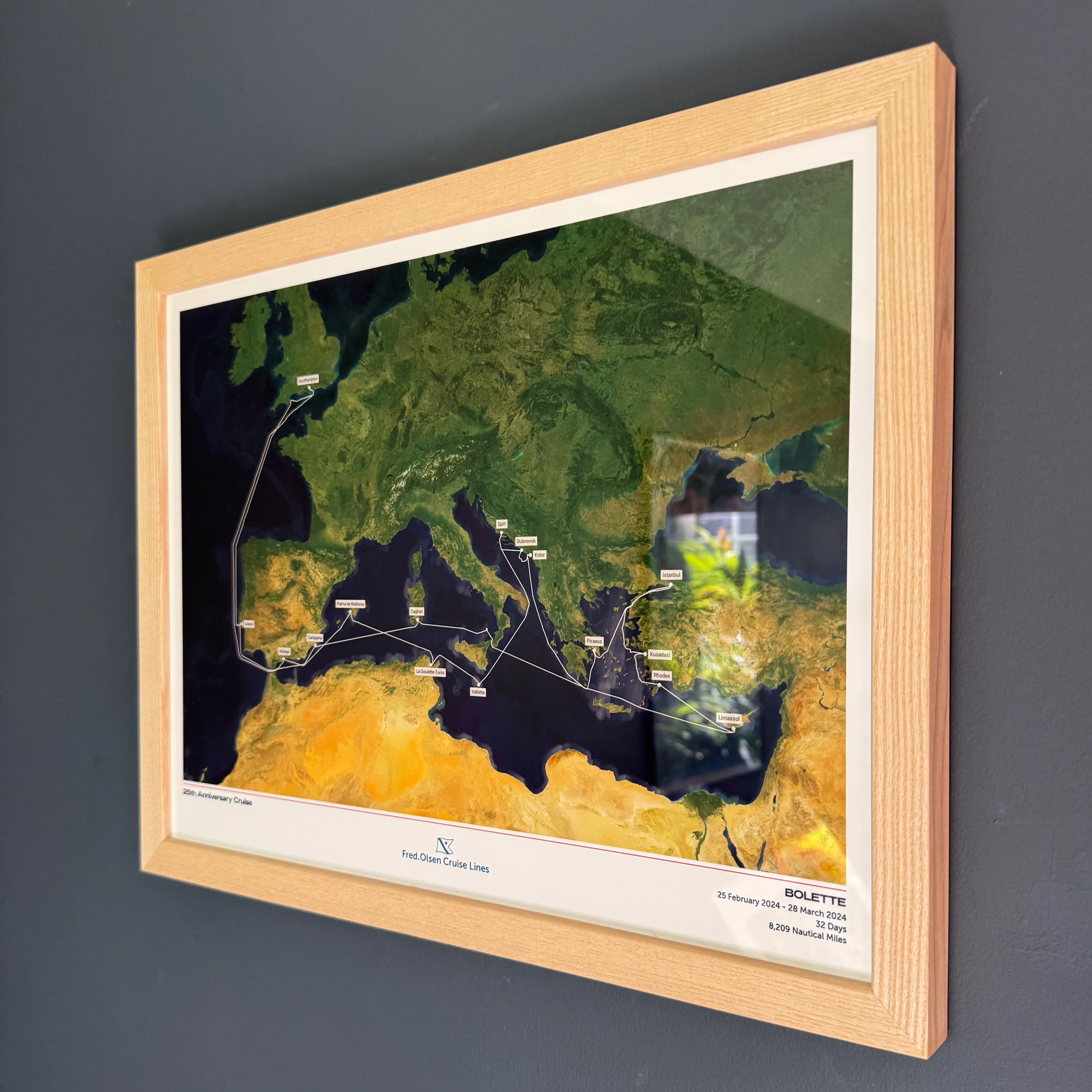
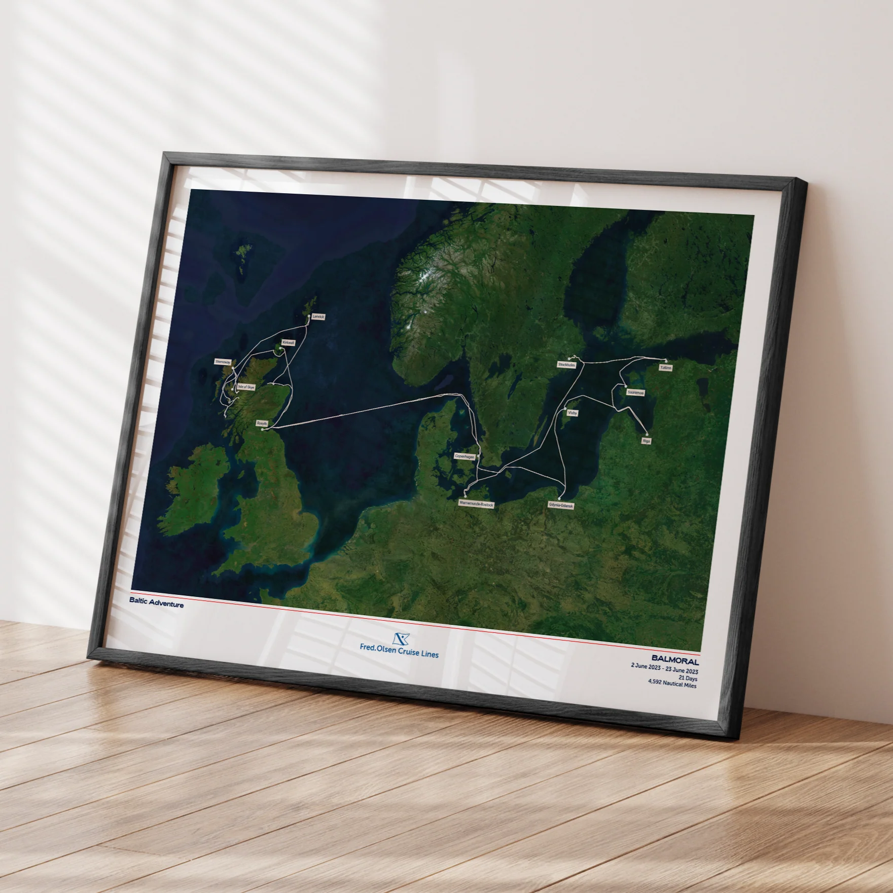
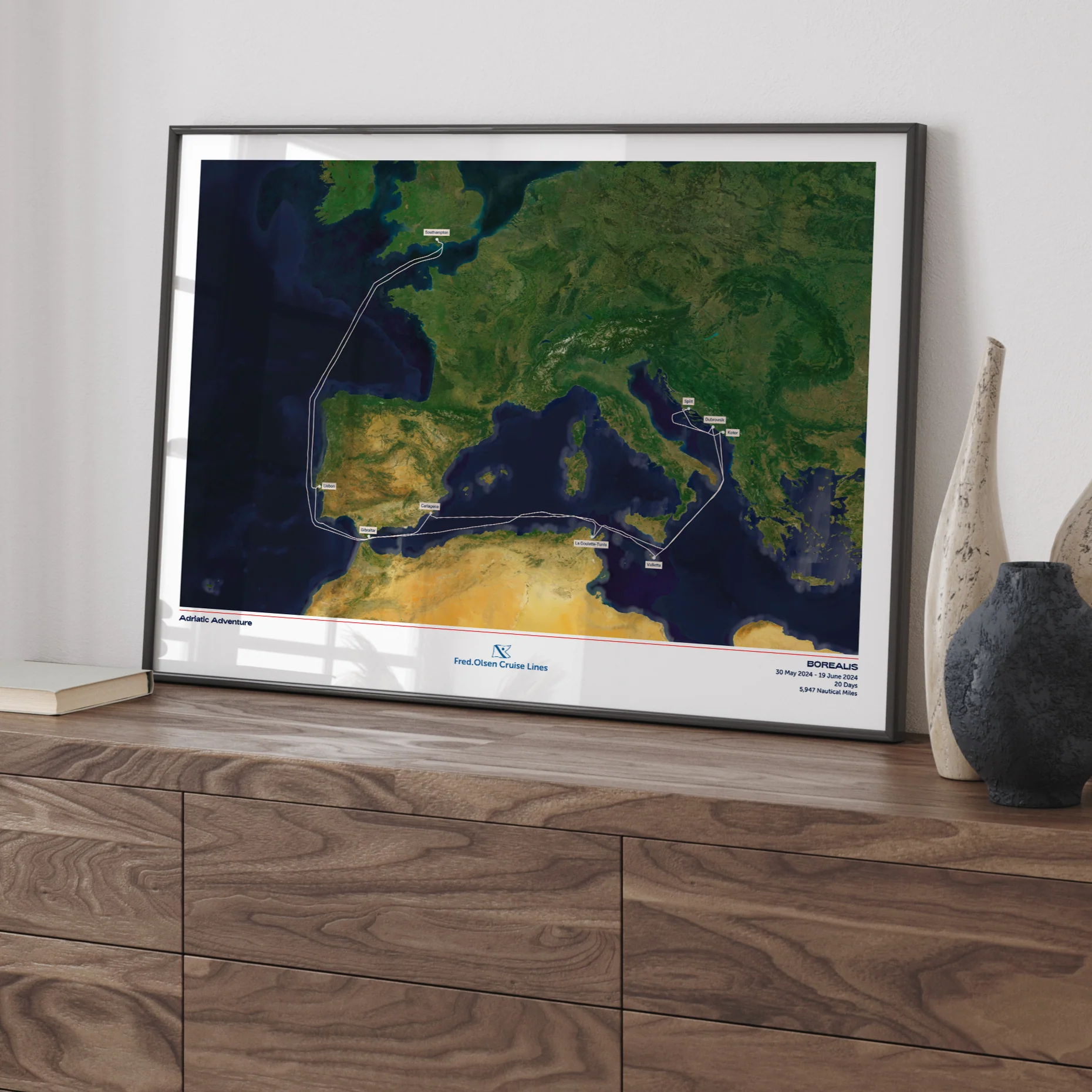
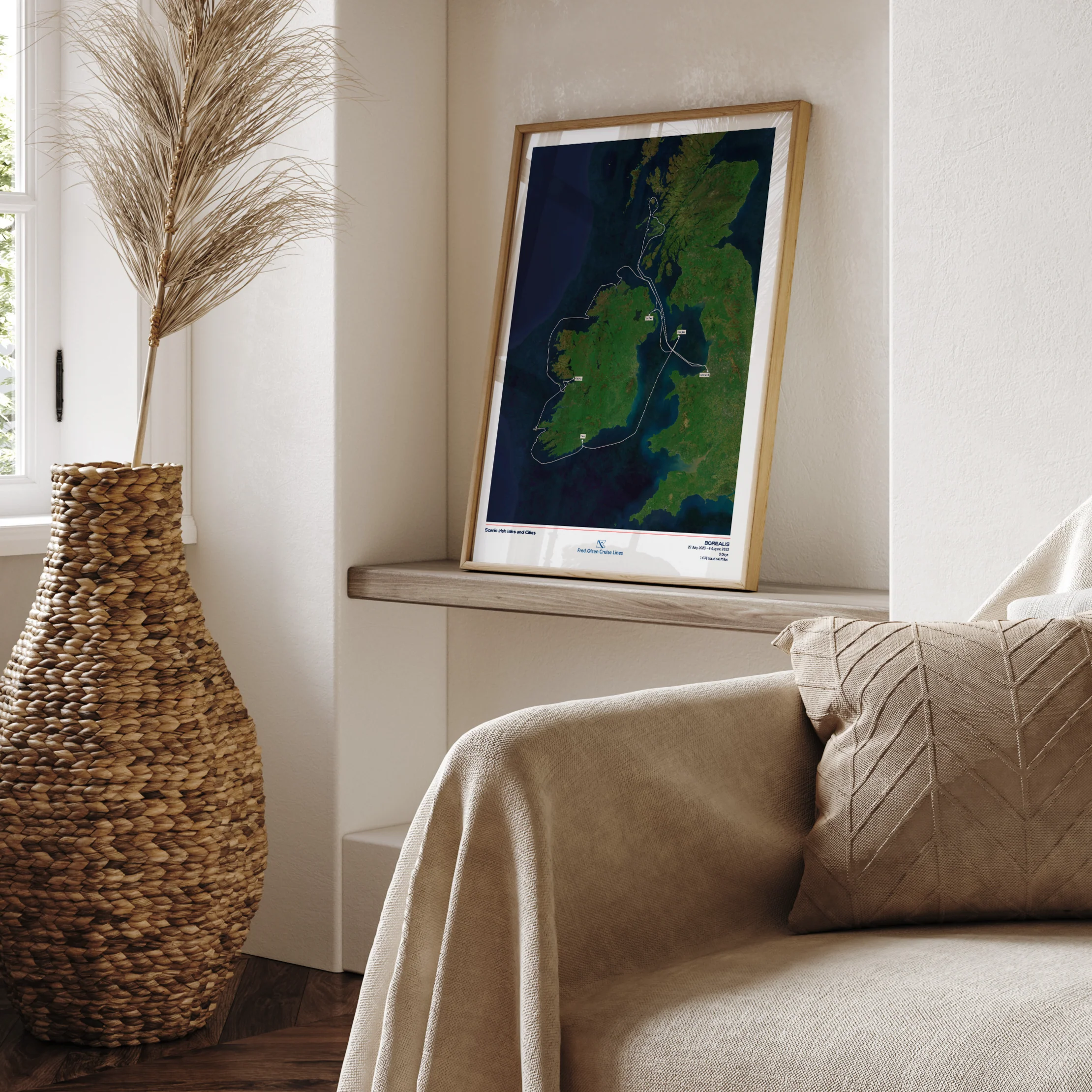
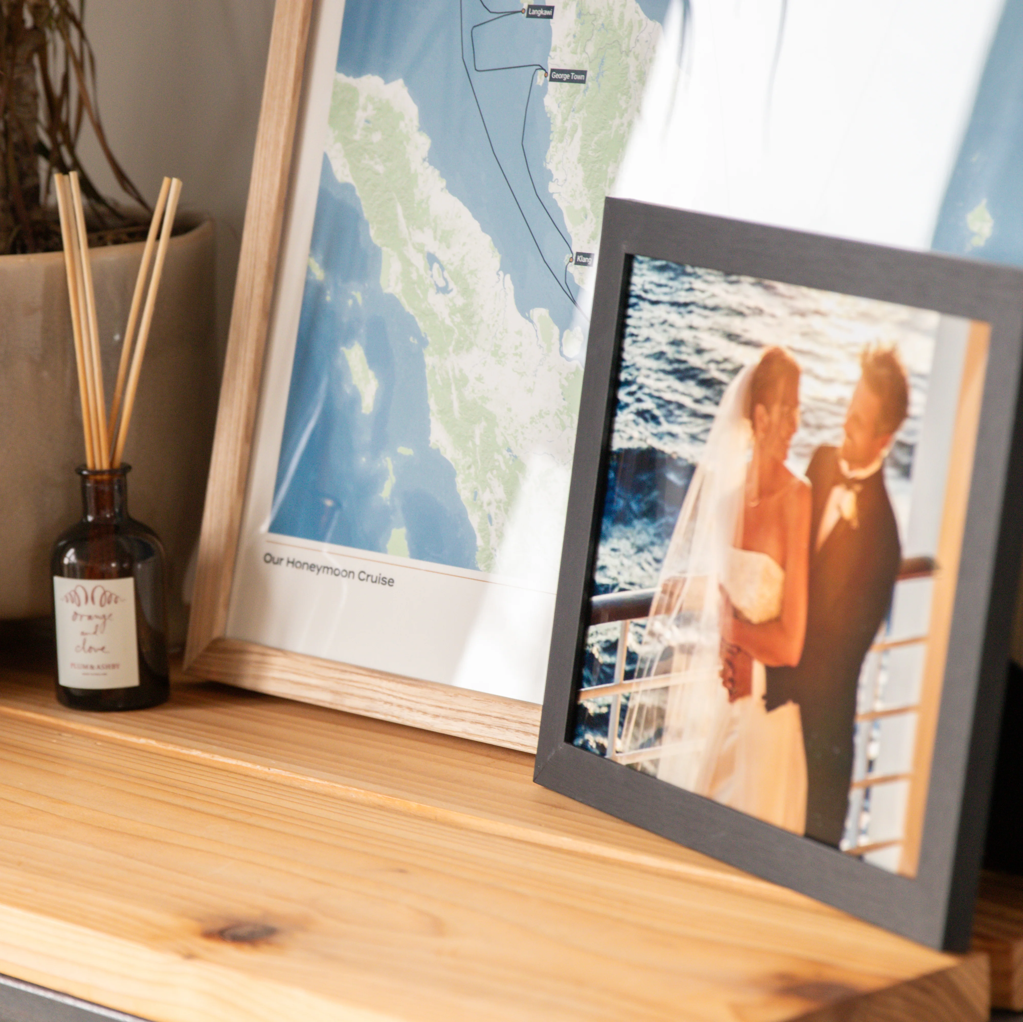
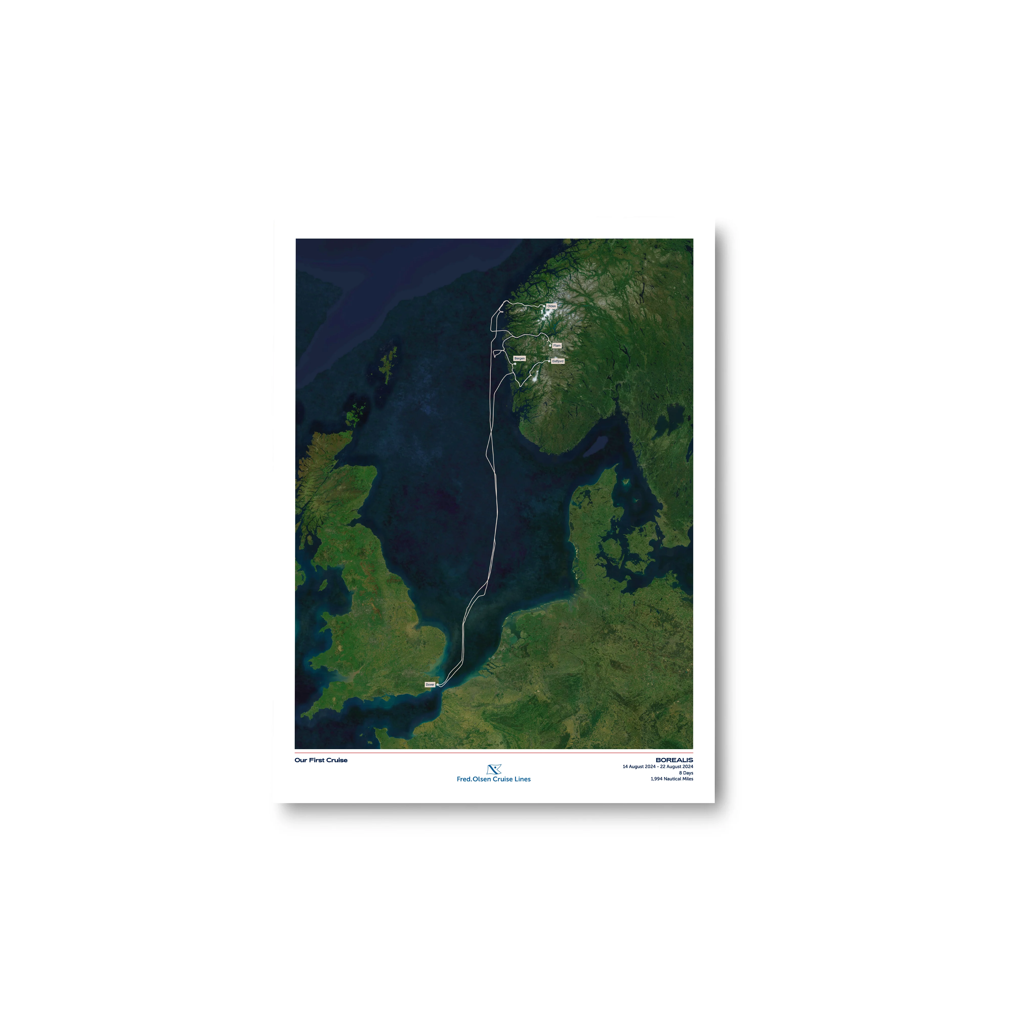
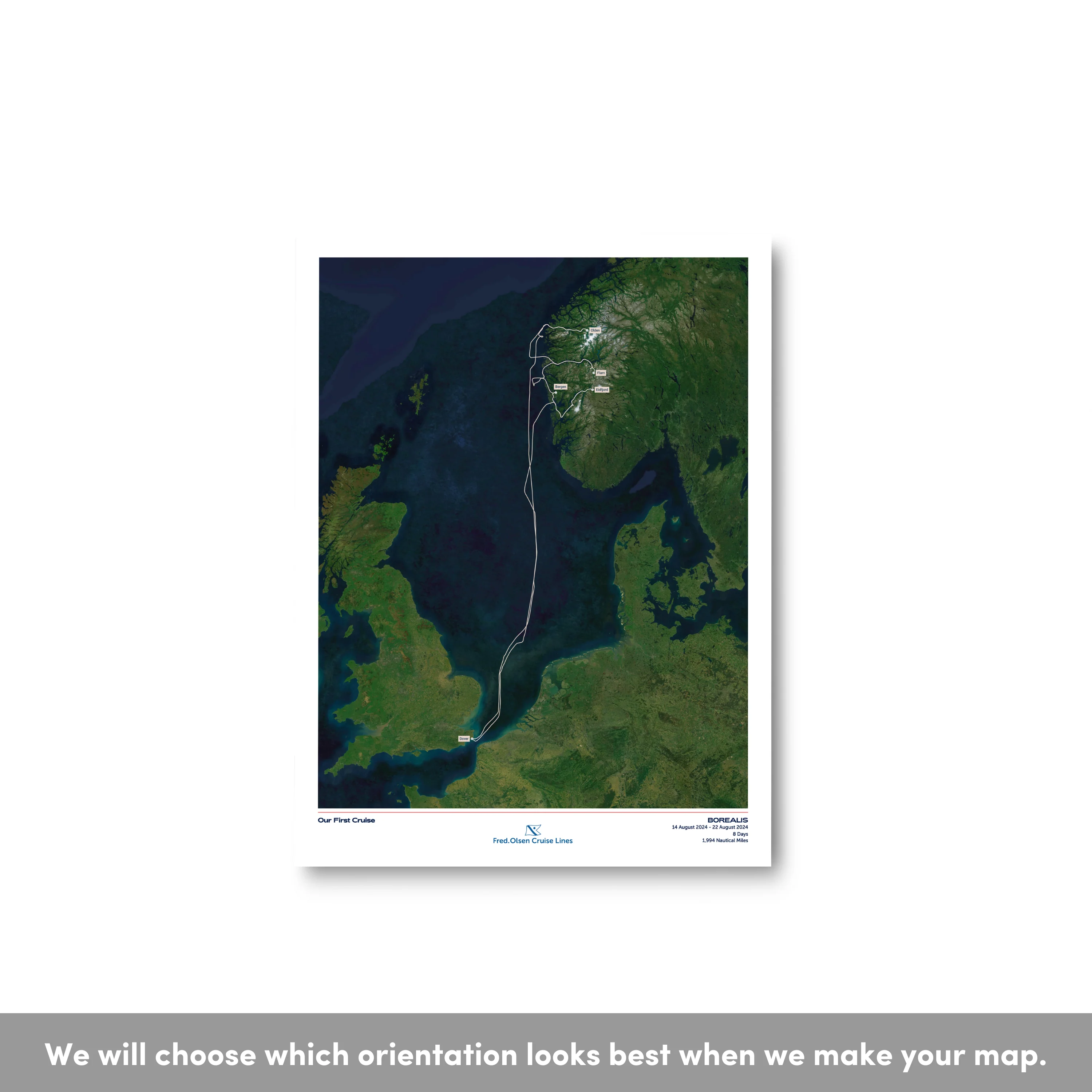
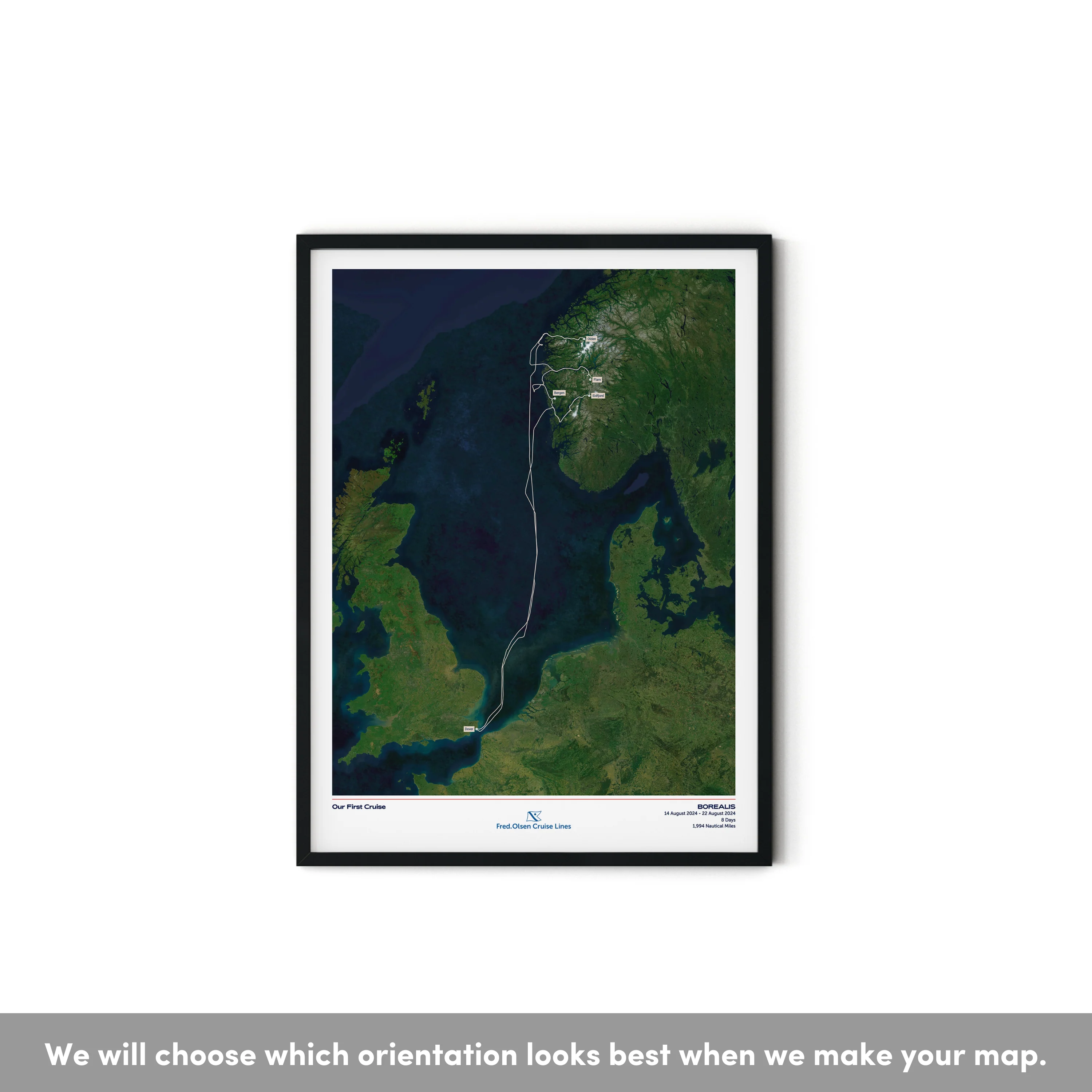
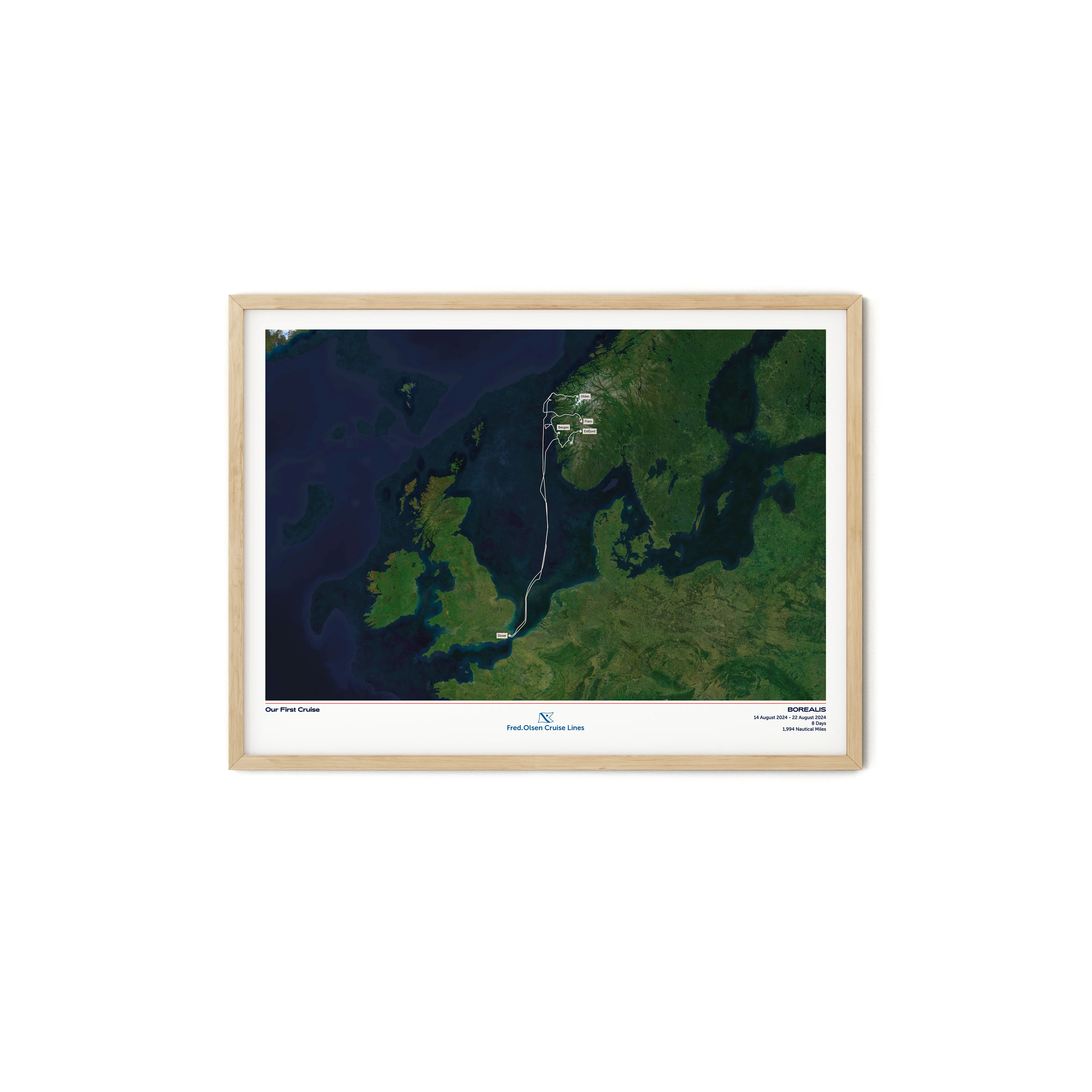
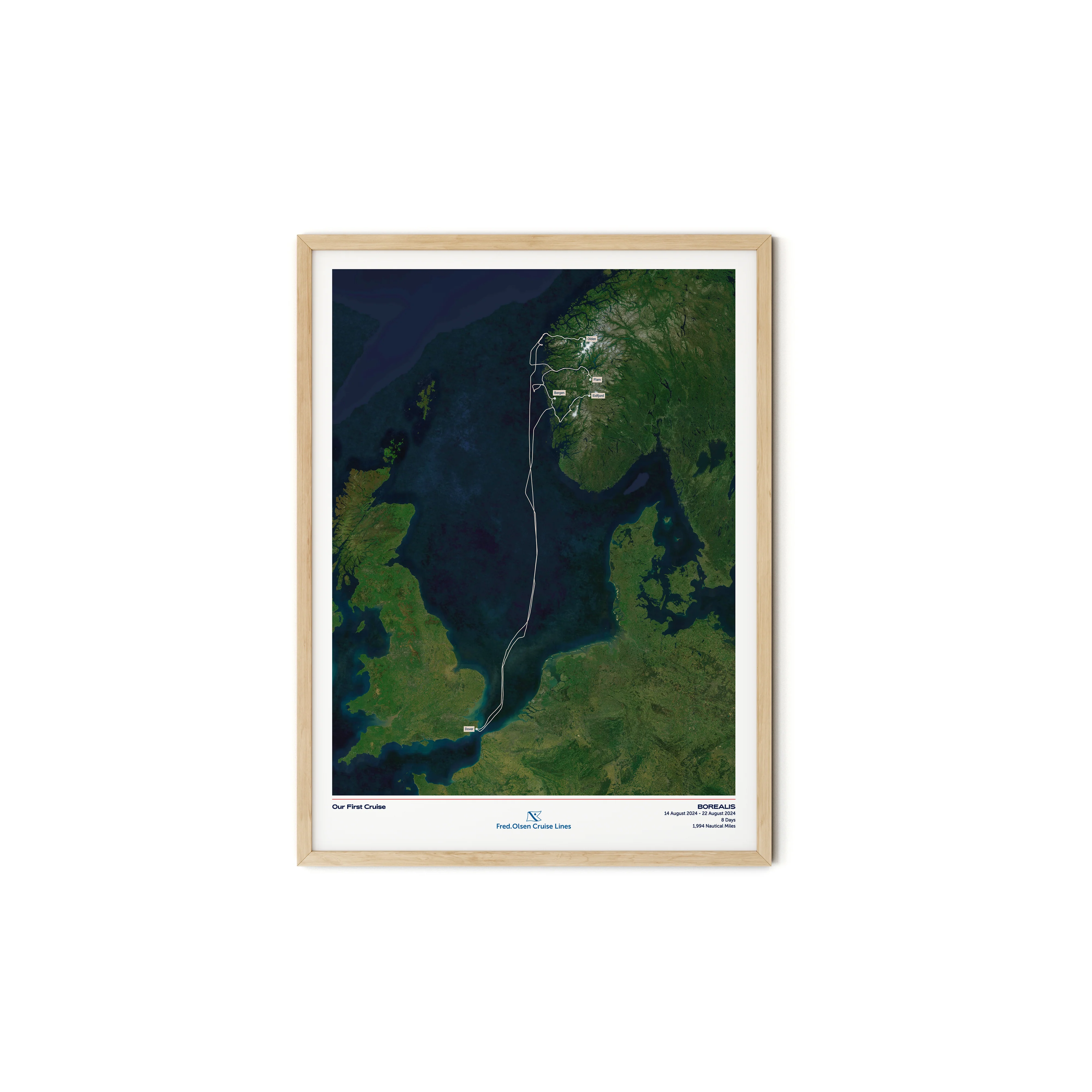
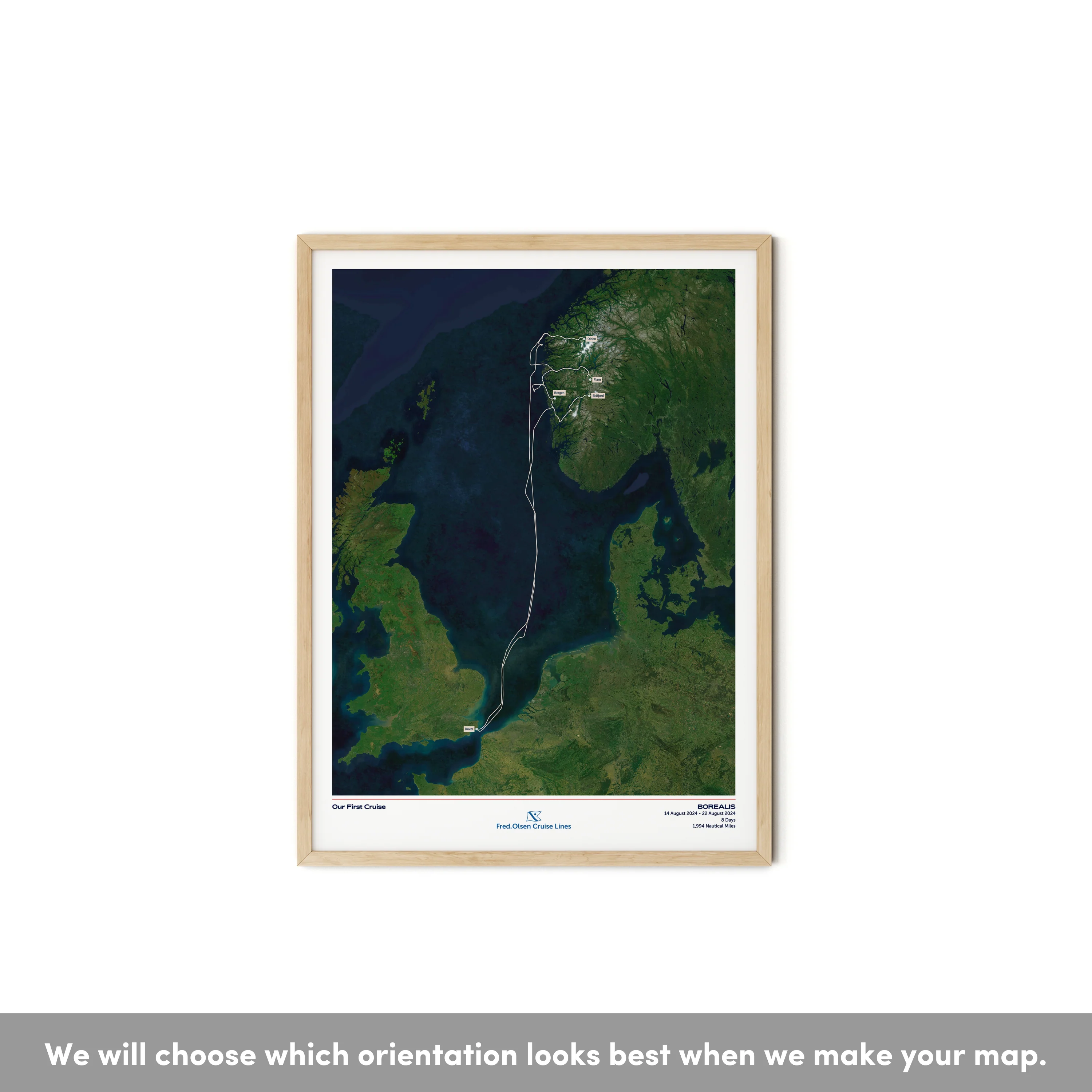
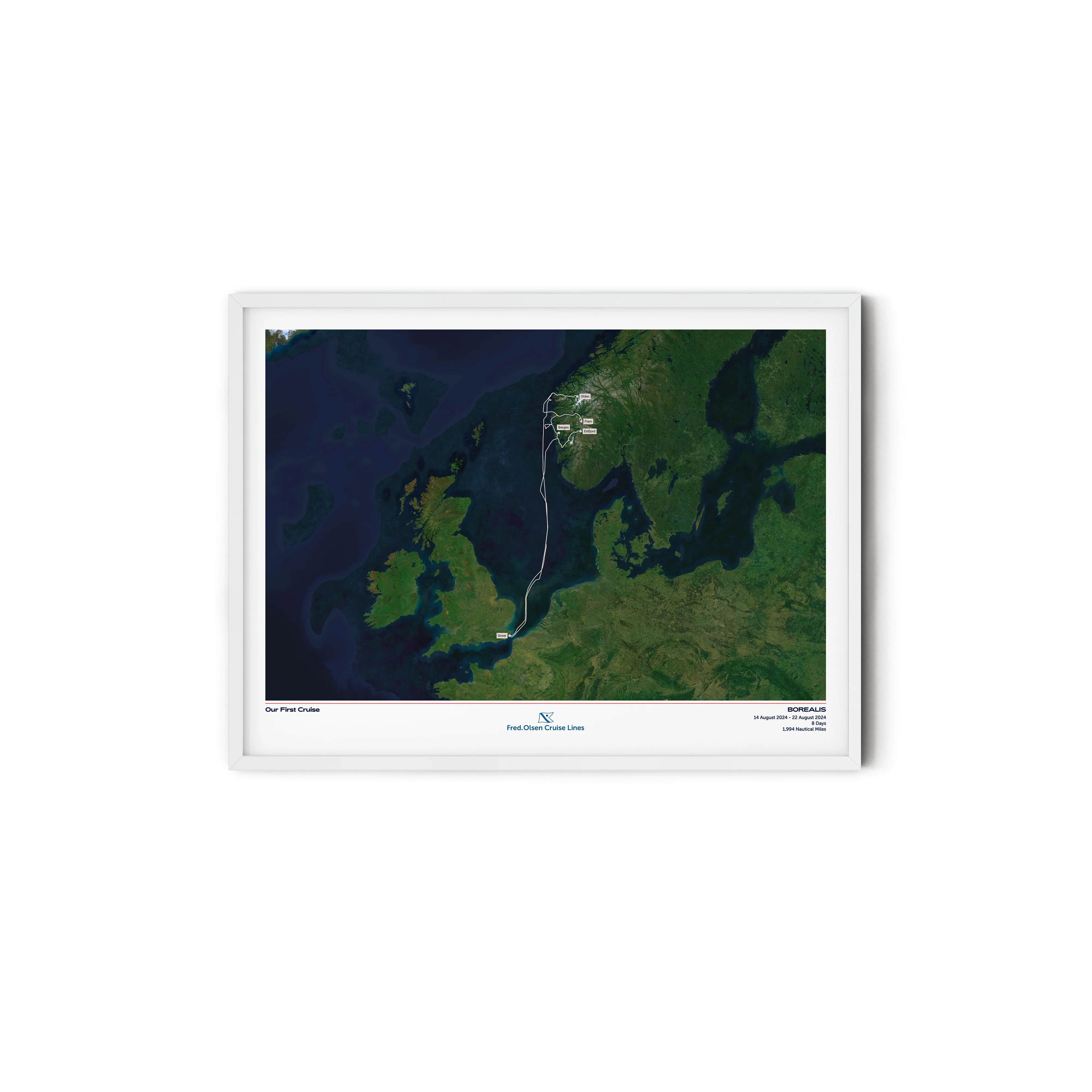
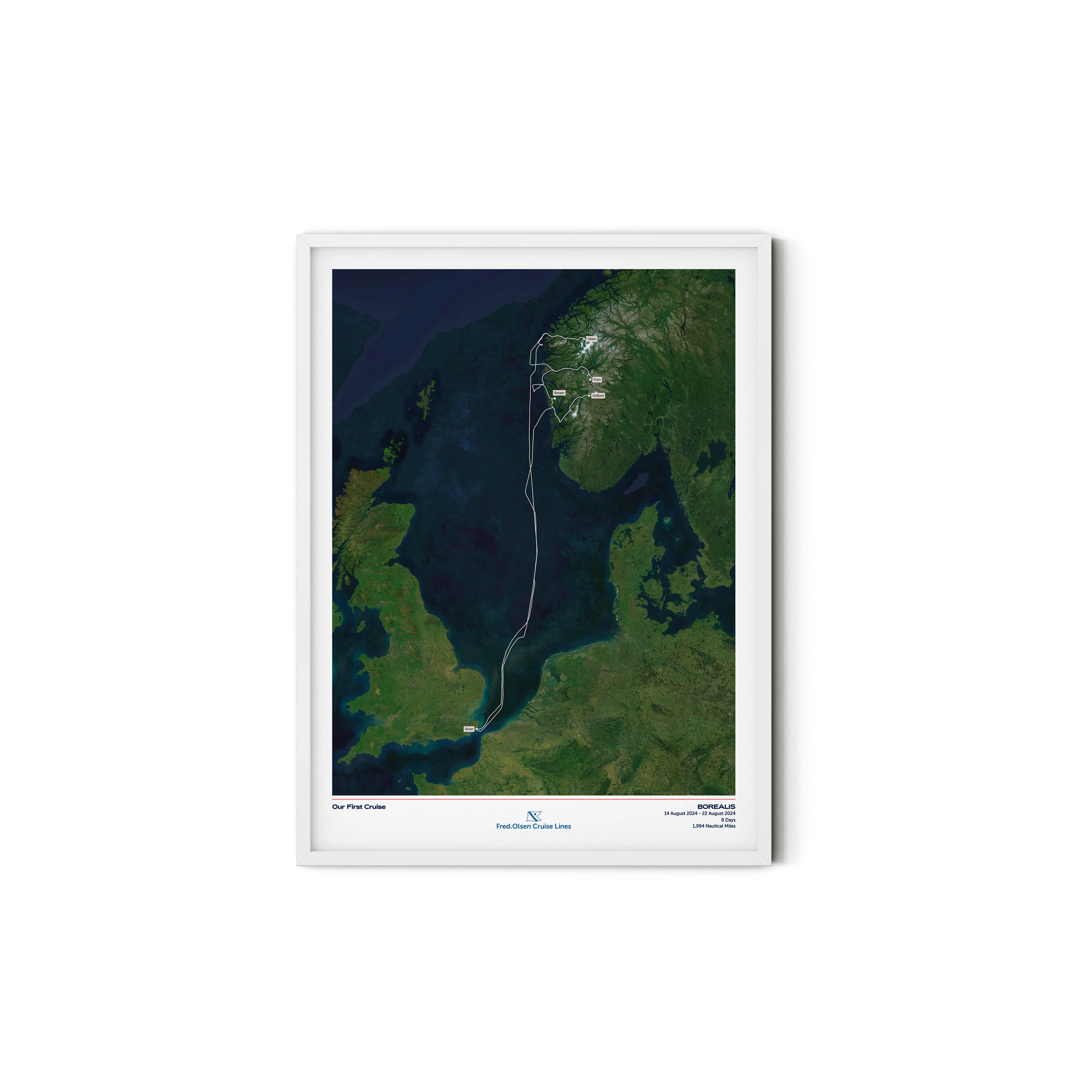
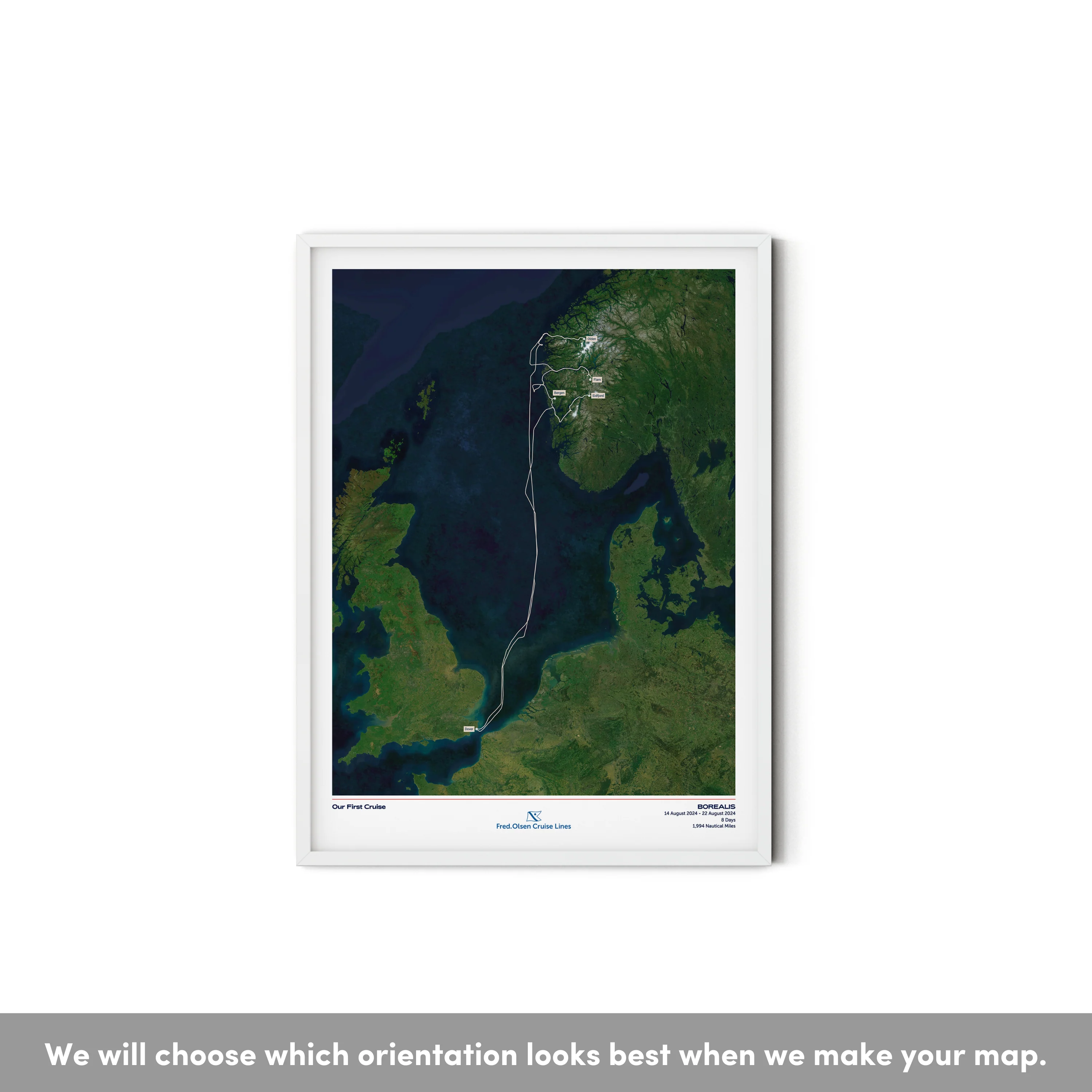
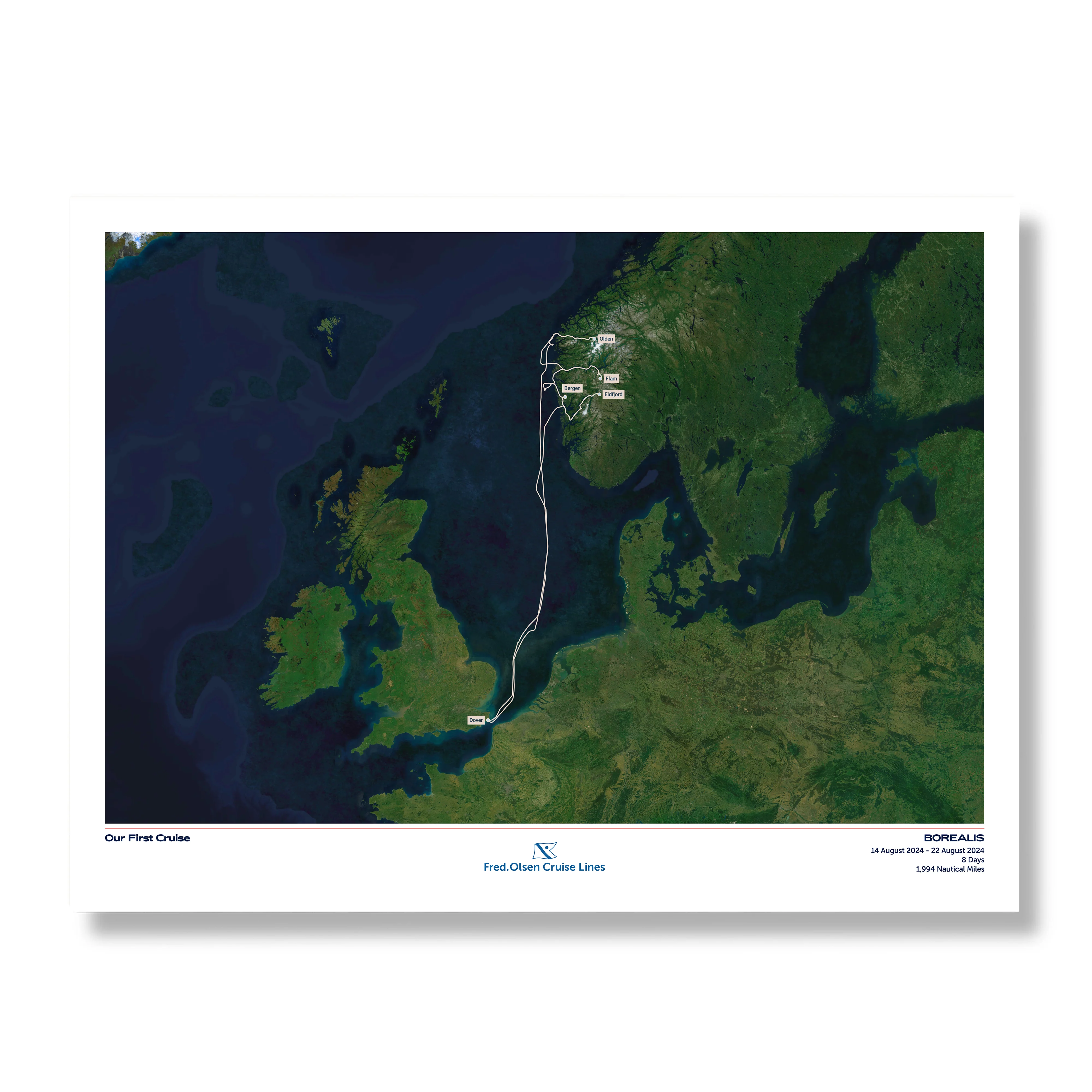
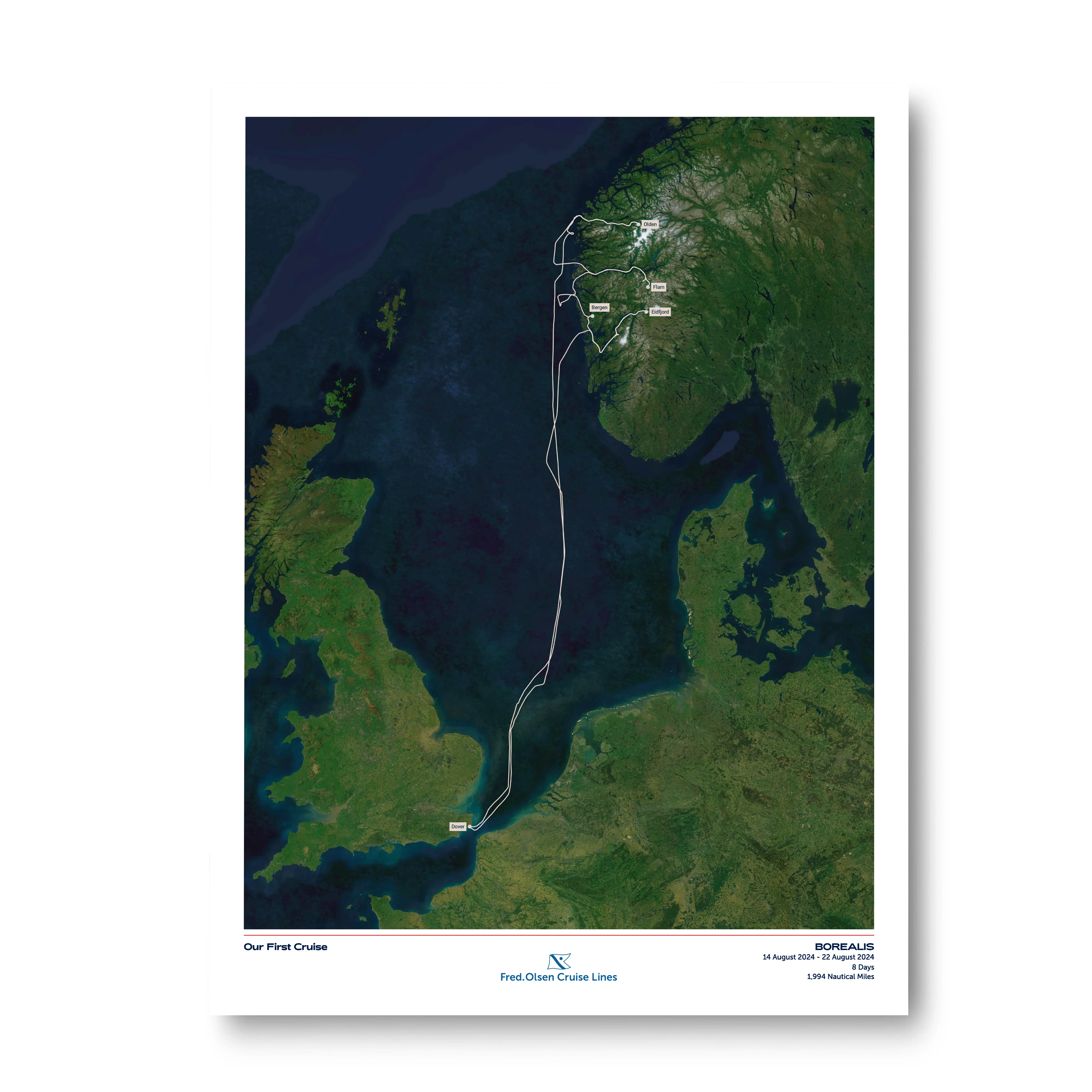
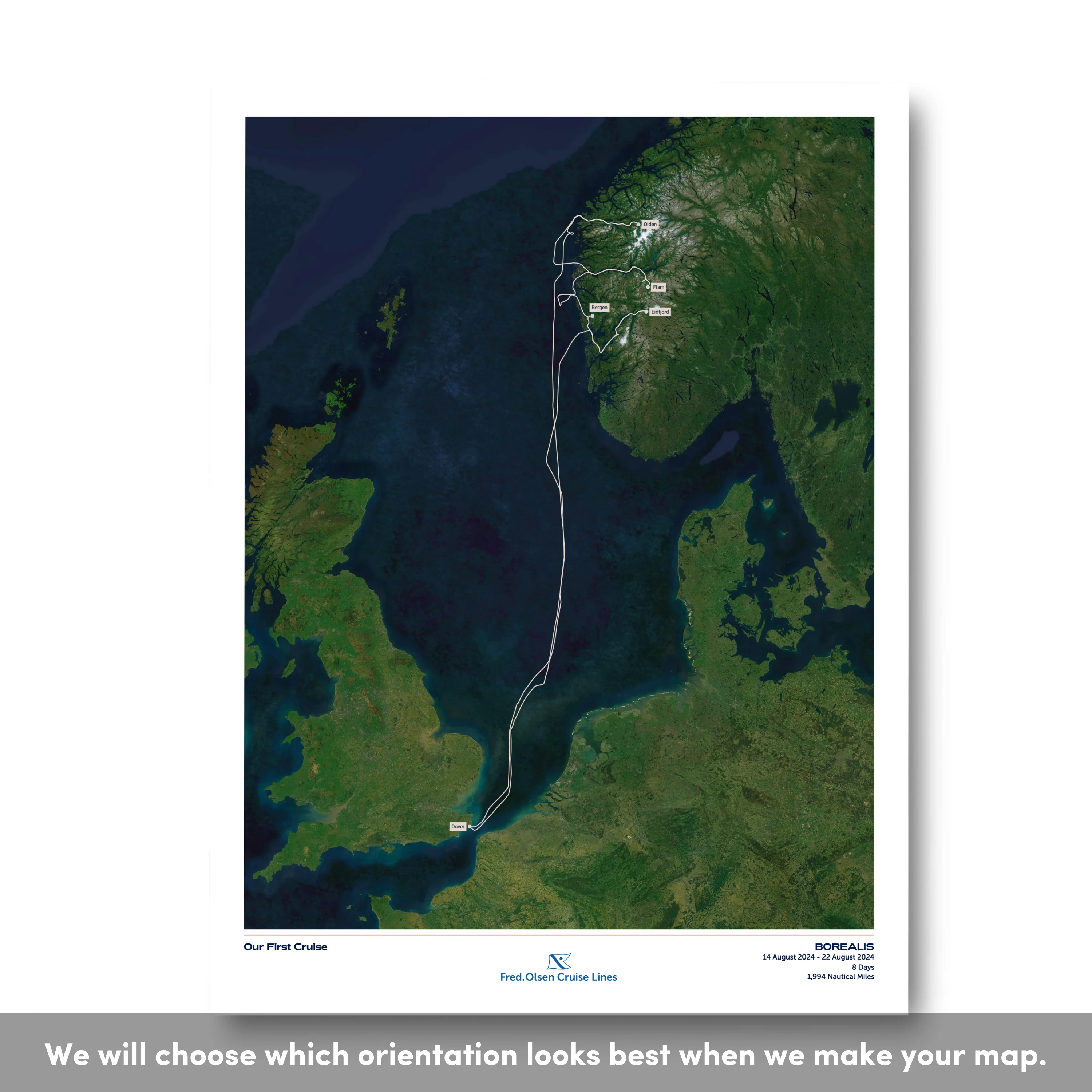
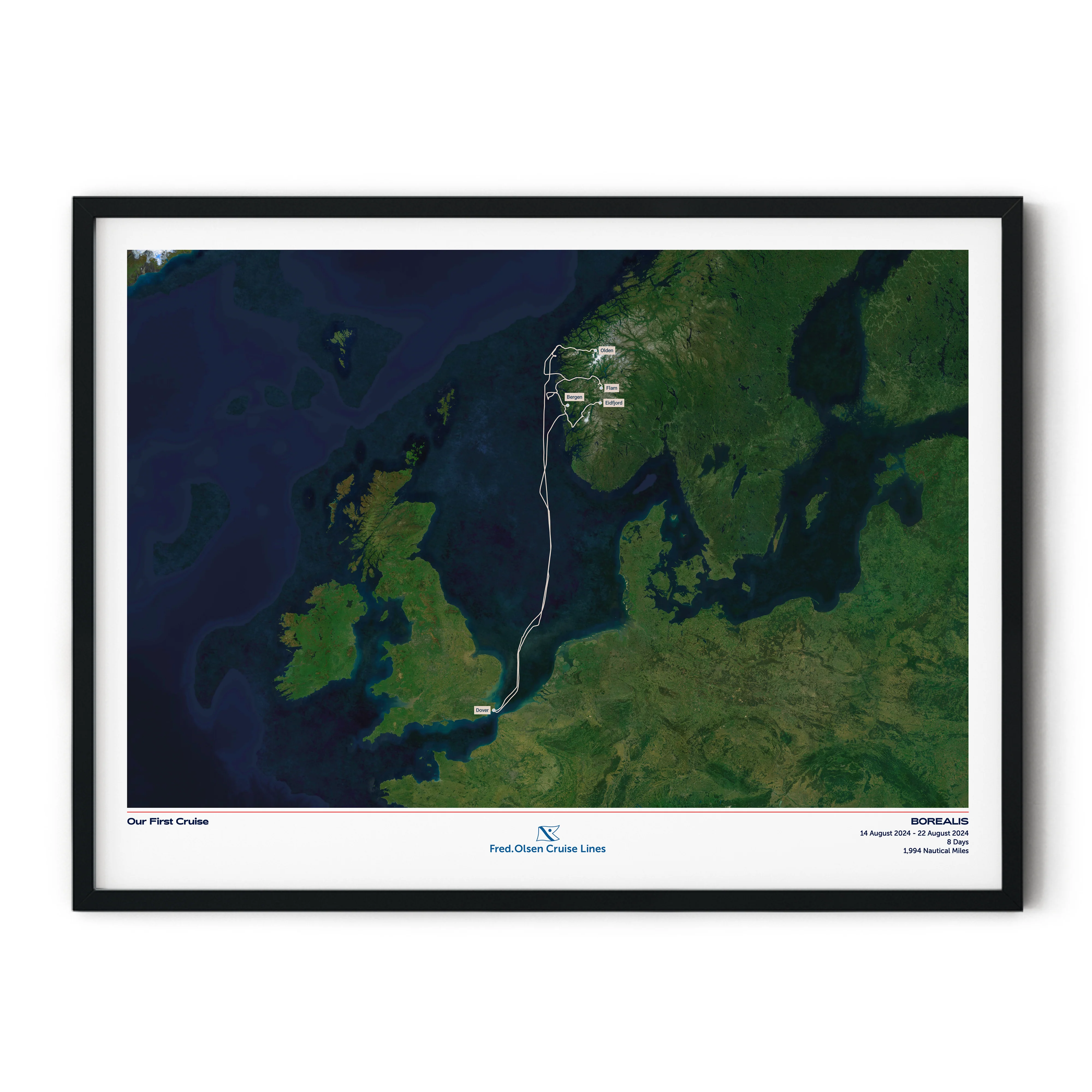
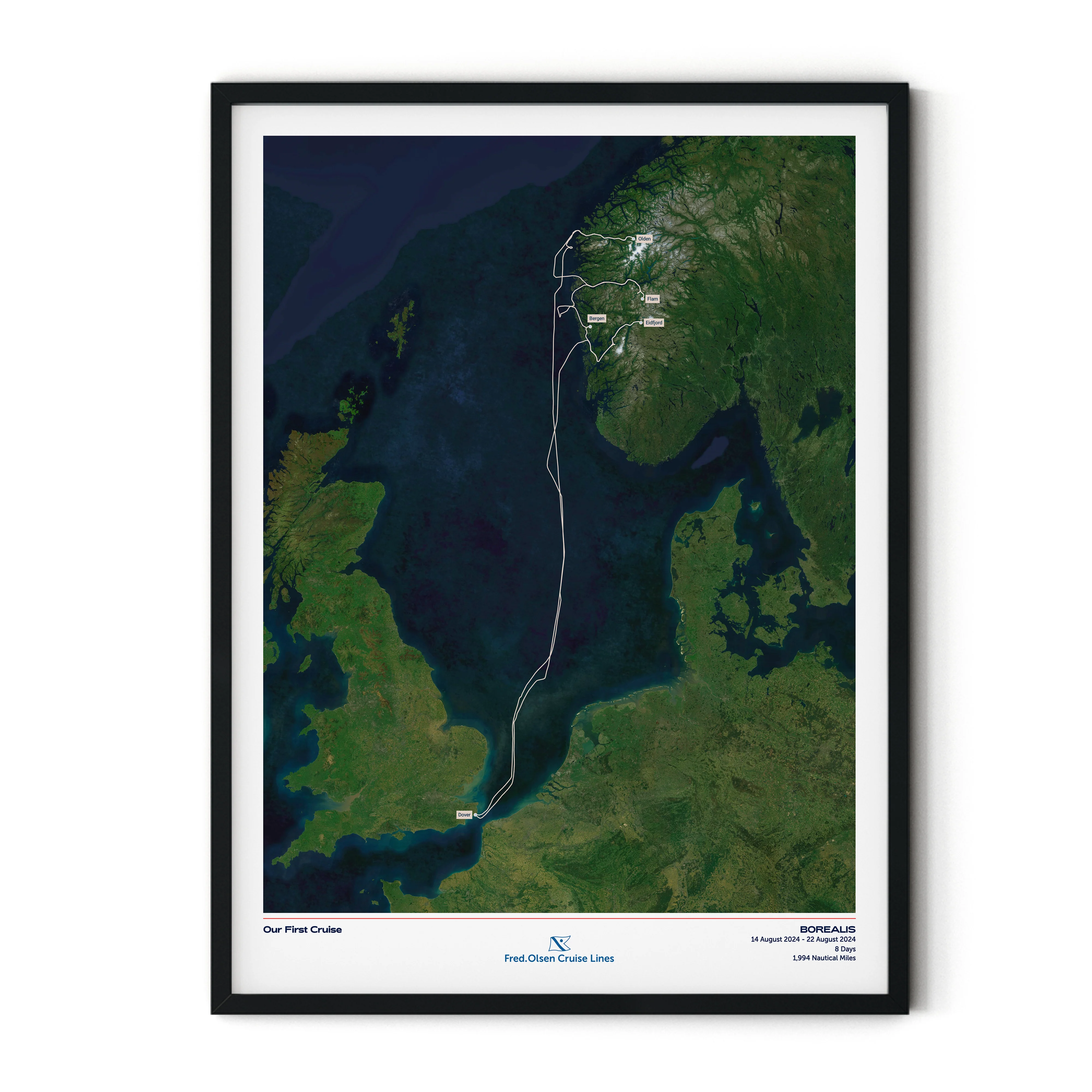
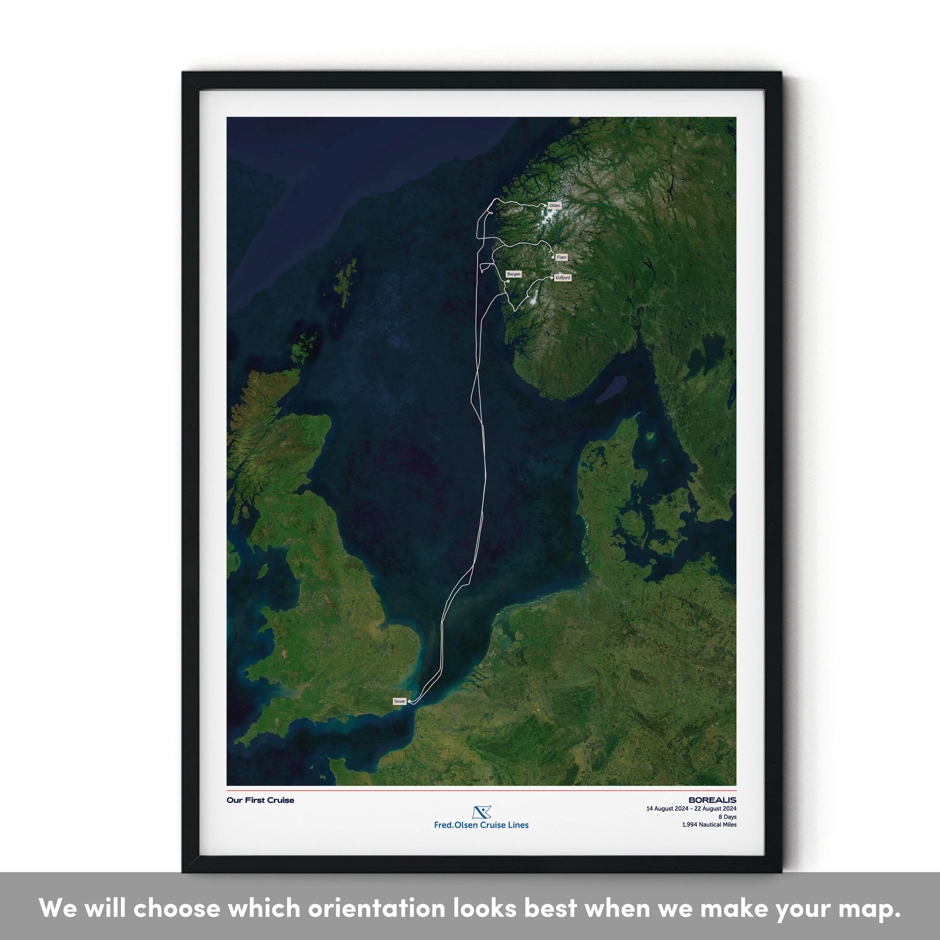
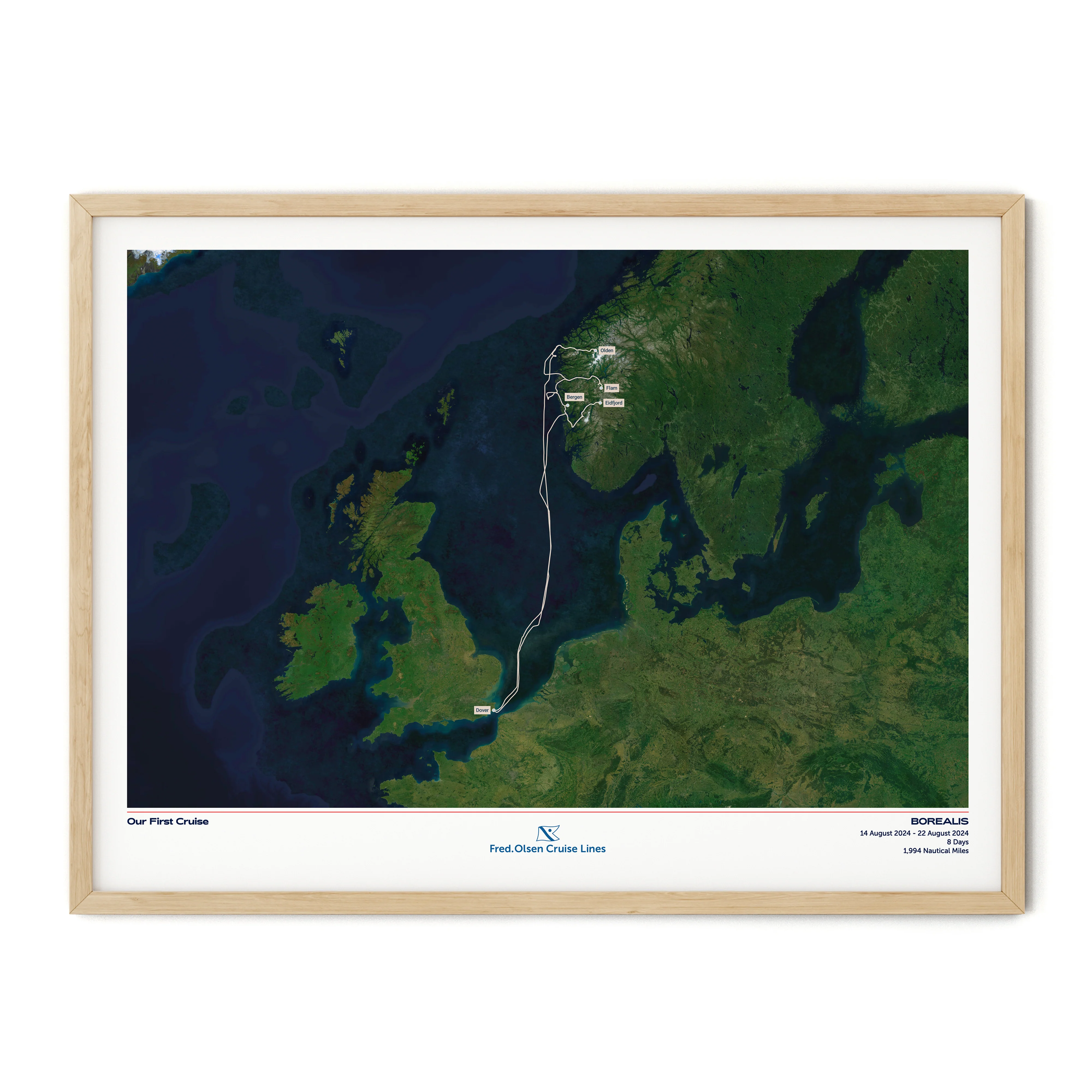
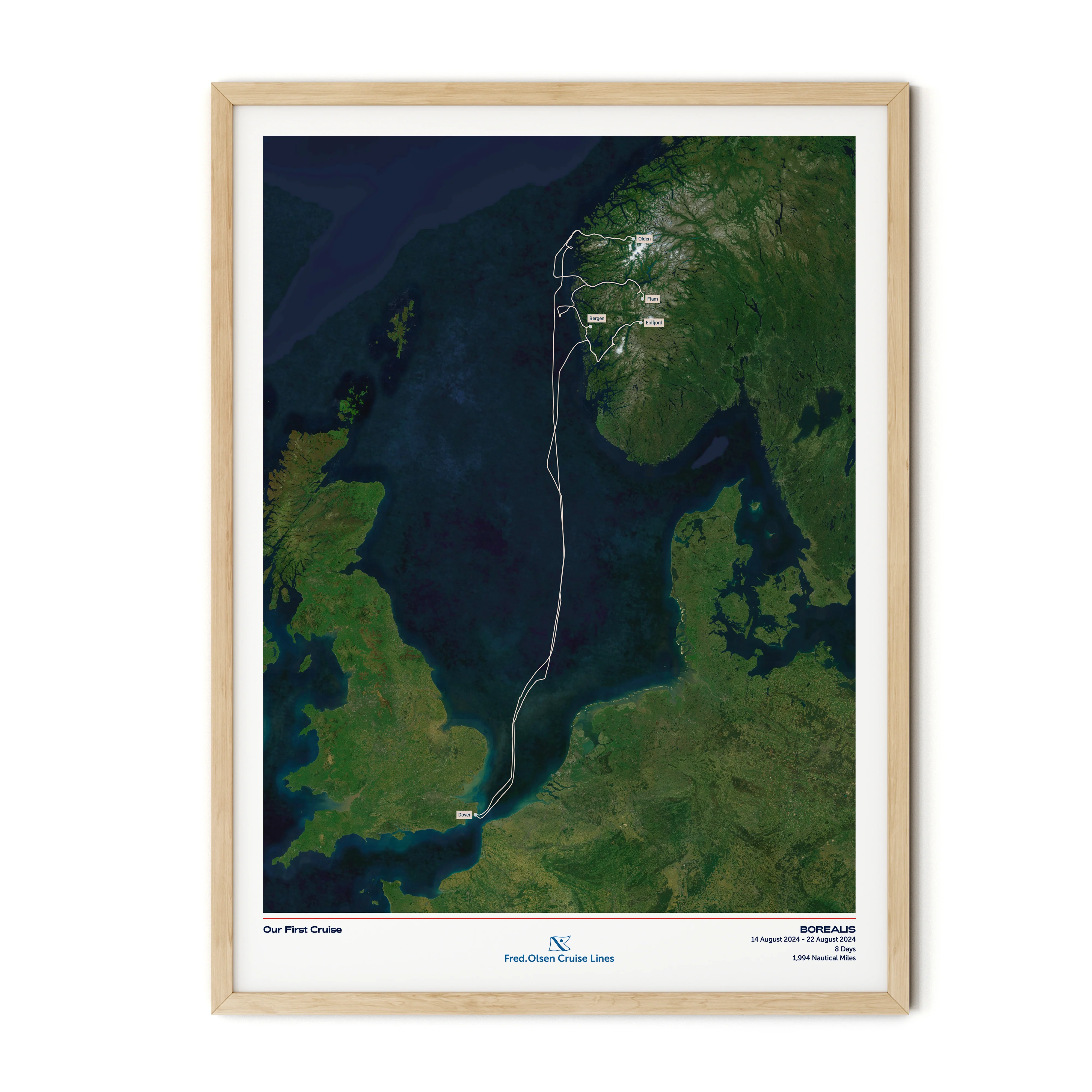
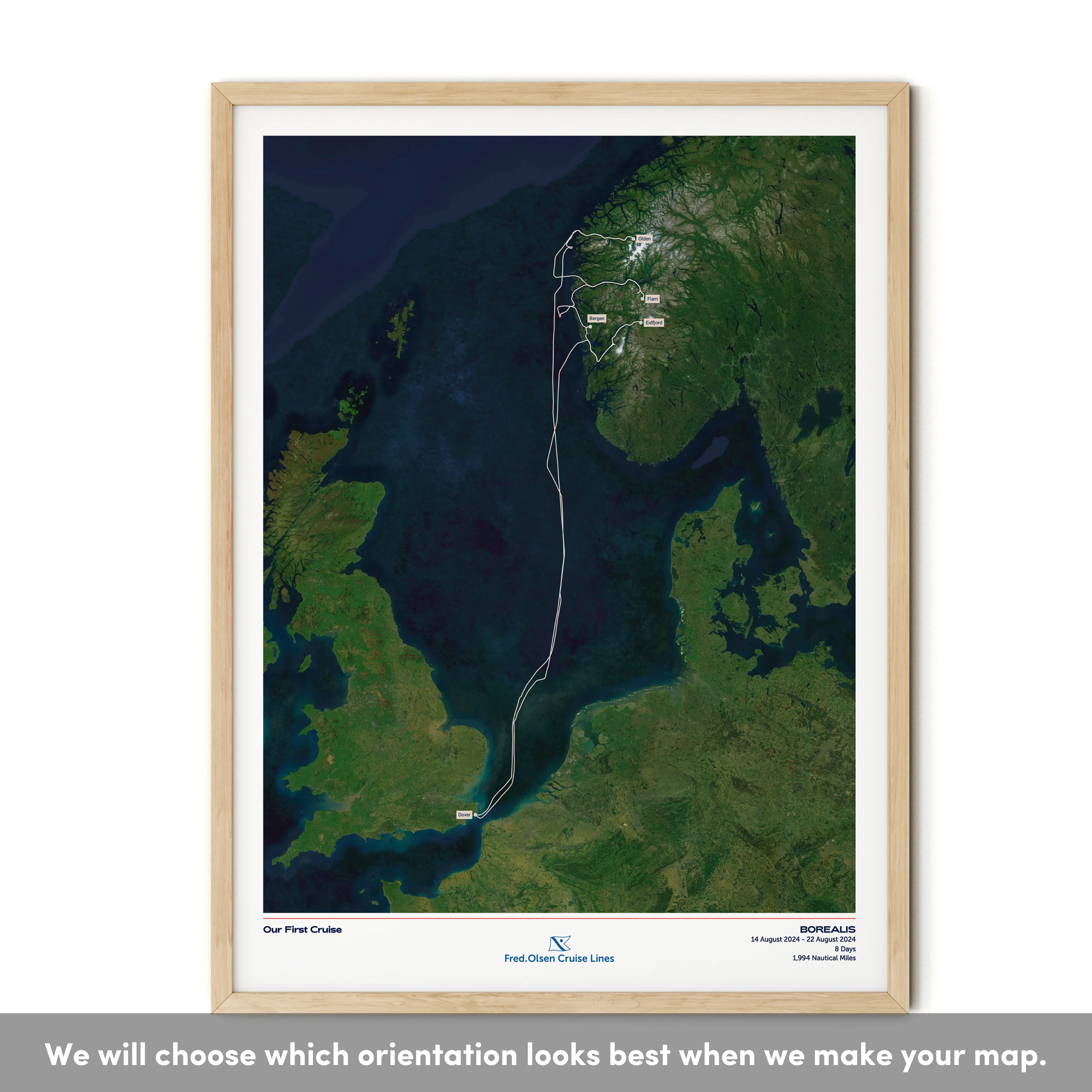
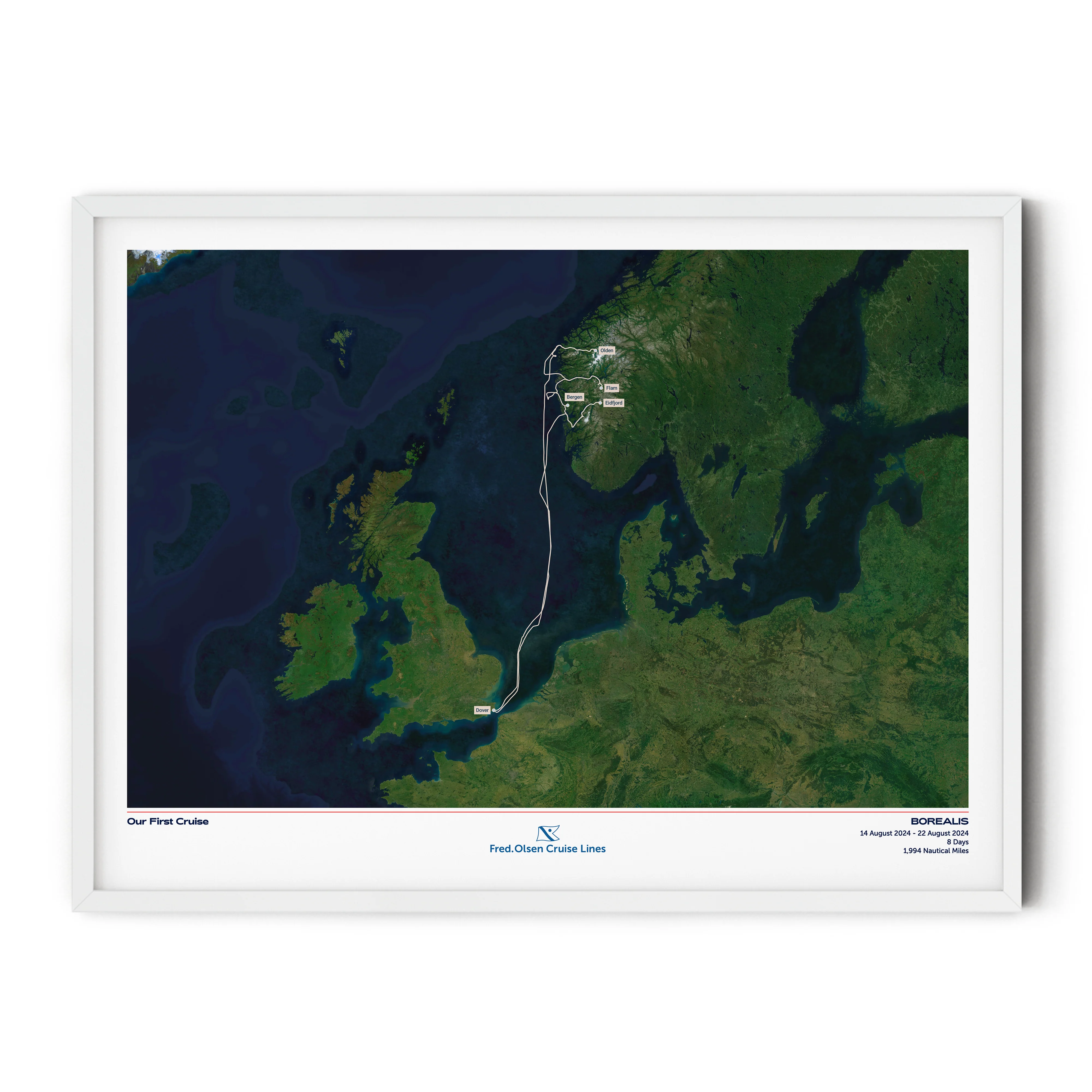
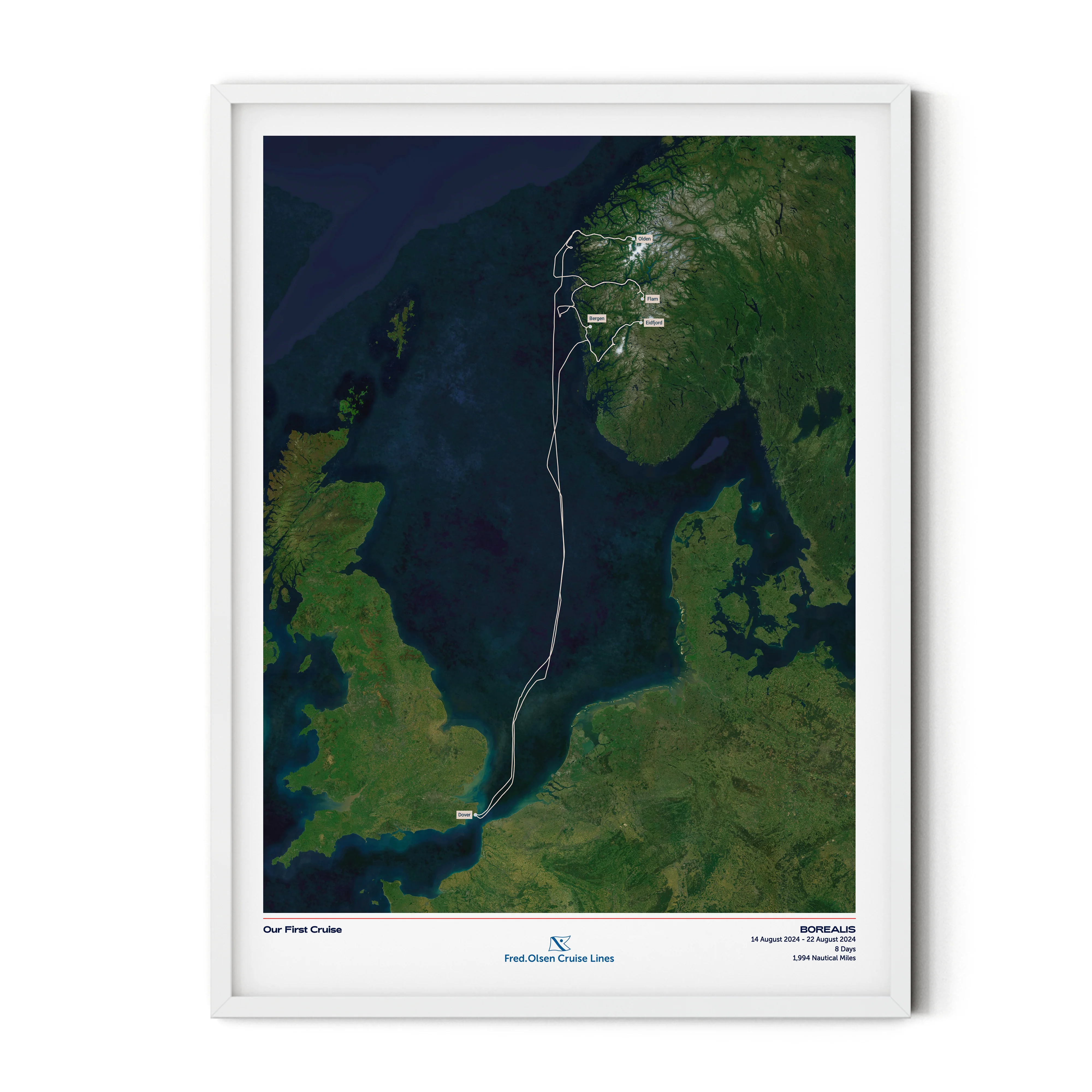
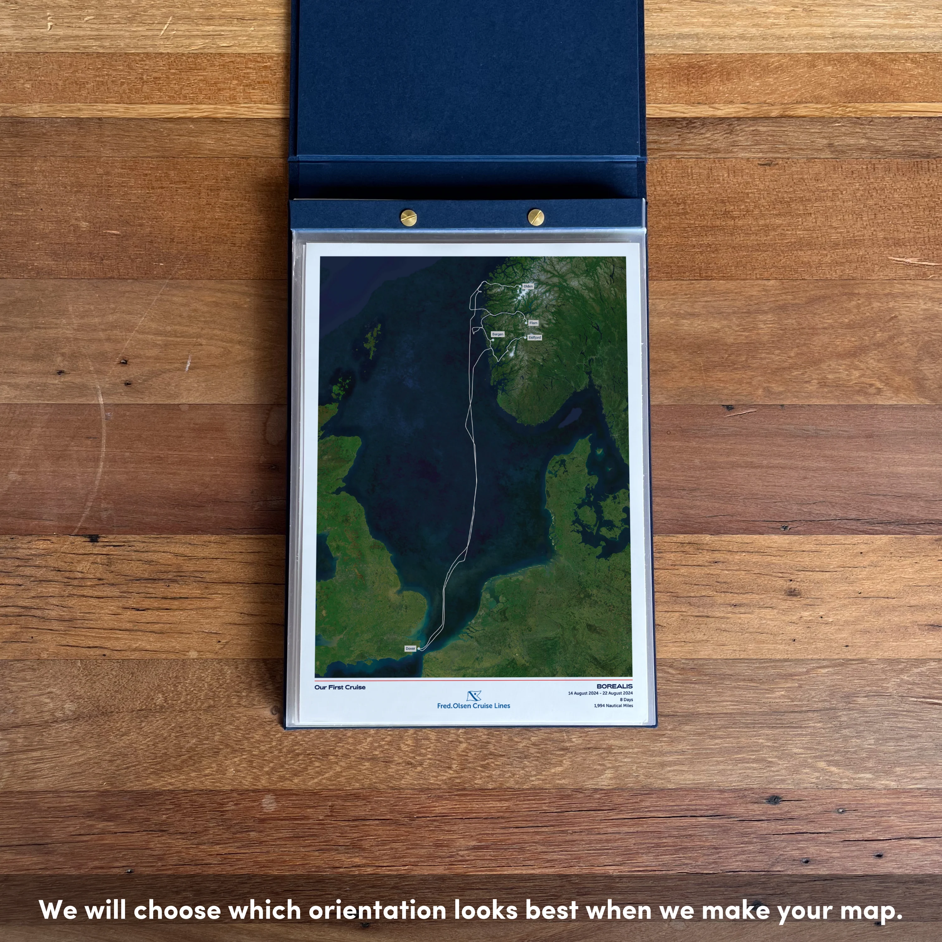
Create a beautiful customised print map of your exact Fred. Olsen cruise. Each map is made to order using AIS (satellite ship-tracking) data to show where you actually went, rather than just the itinerary route. Select your Fred. Olsen ship along with embarkation and disembarkation points and we'll do the rest.
For older cruises (before 2015) we’ll be in touch via email to request a few more details to create a presumed route for your map.
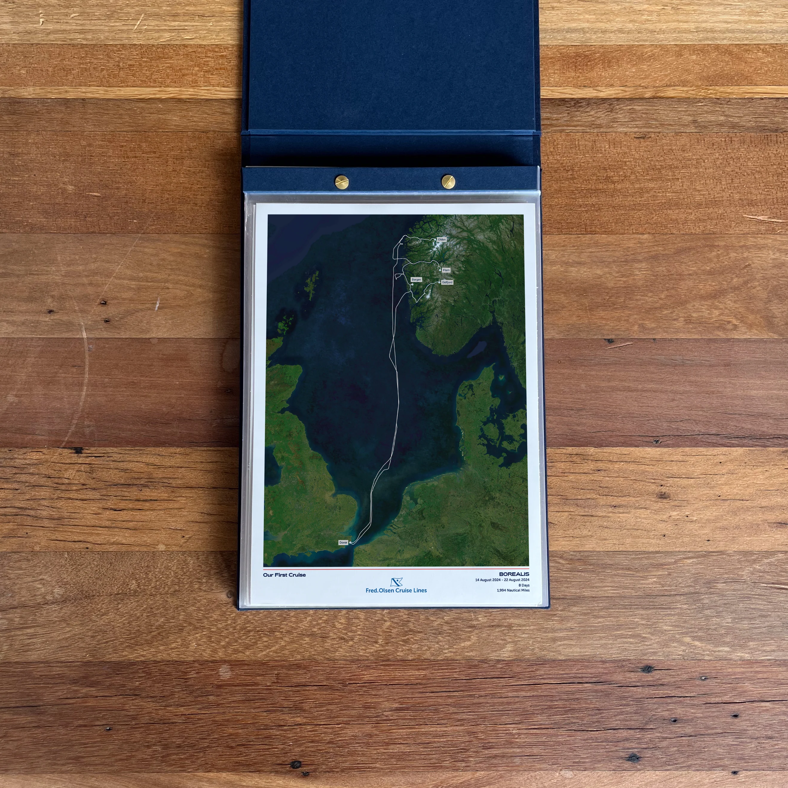
Start your collection now. Get a FREE cruise album when you buy any 5 Album Size maps. Simply add your Album Size maps and Cruise Album to cart and the discounts will apply automatically - see here for details
Product Details:
Sizes:
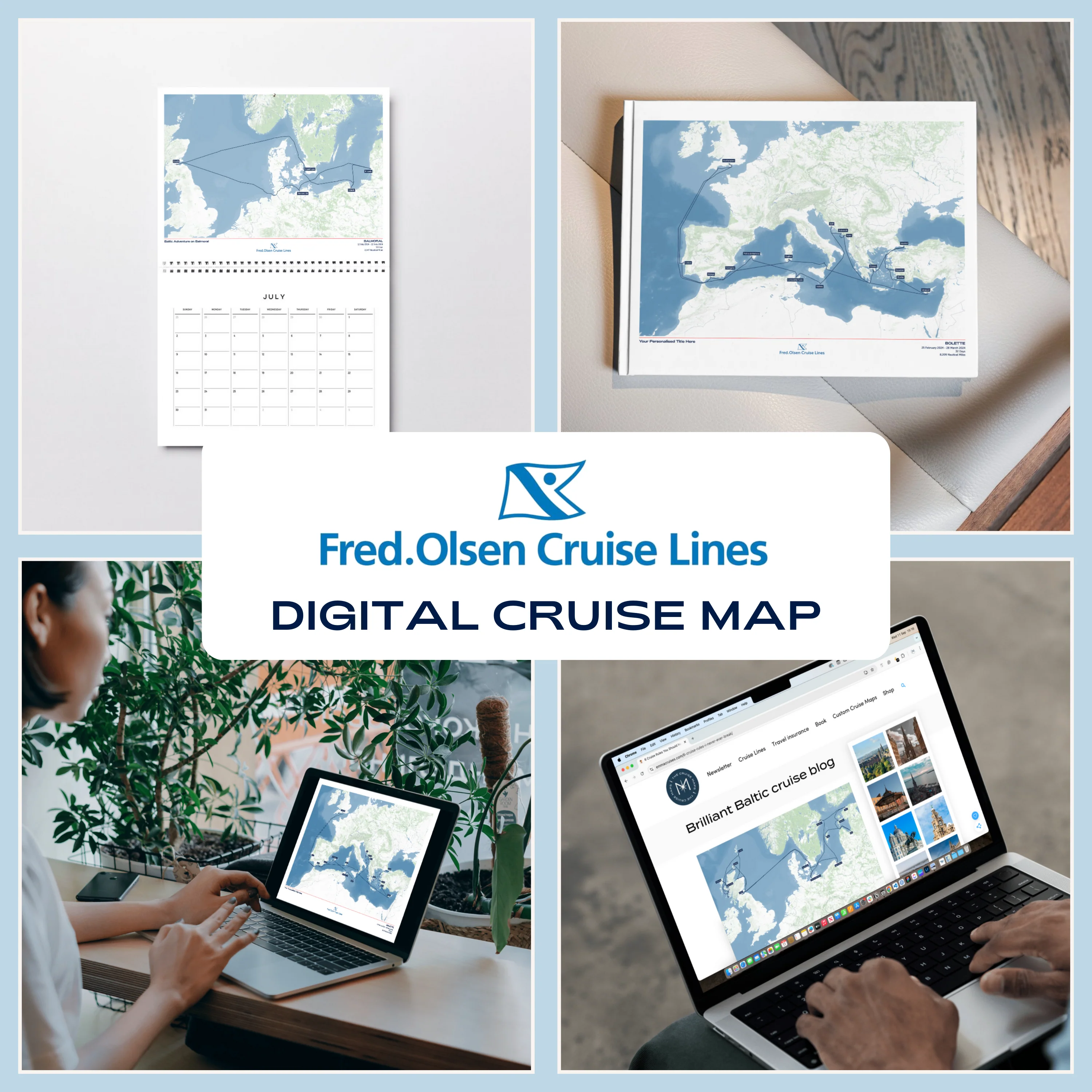
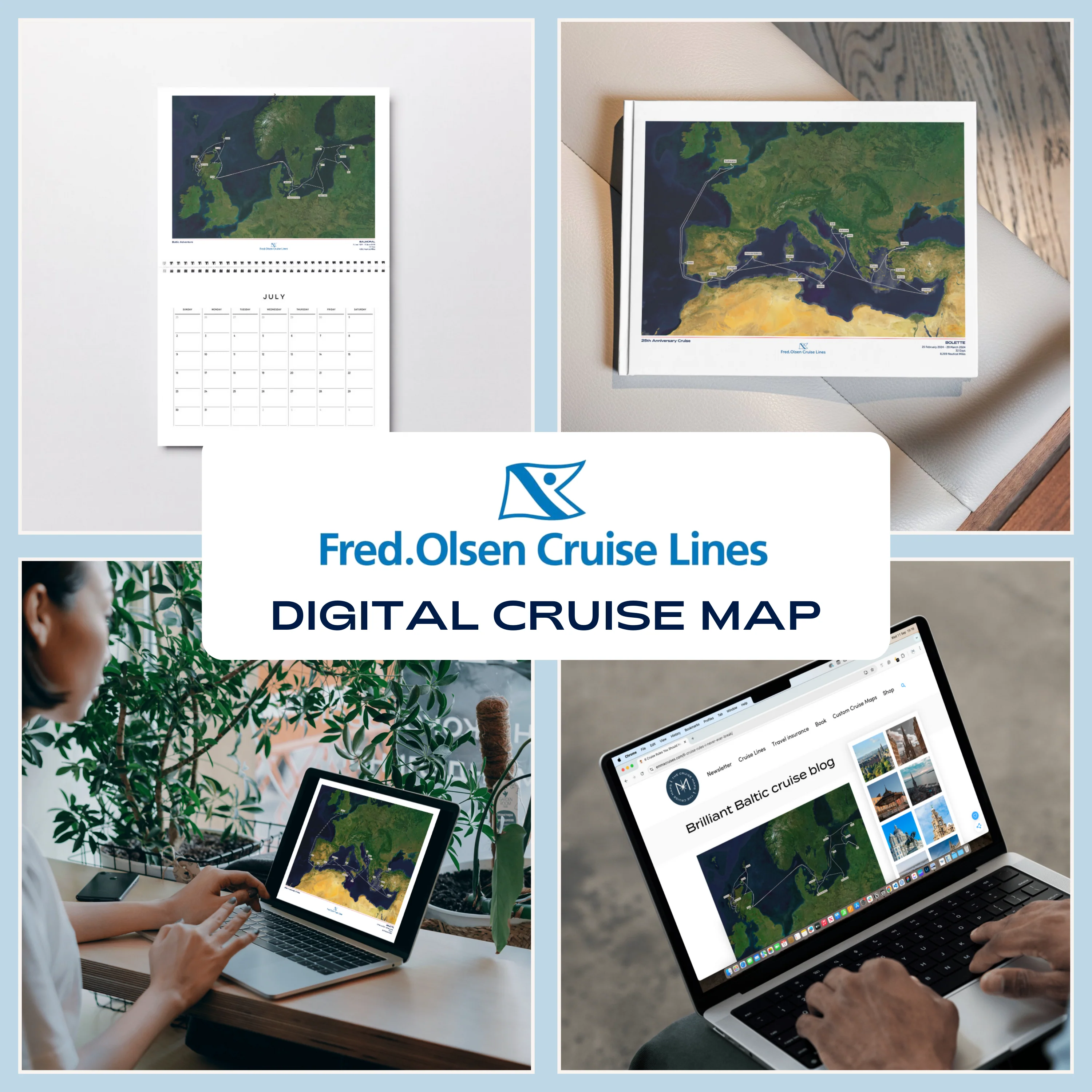
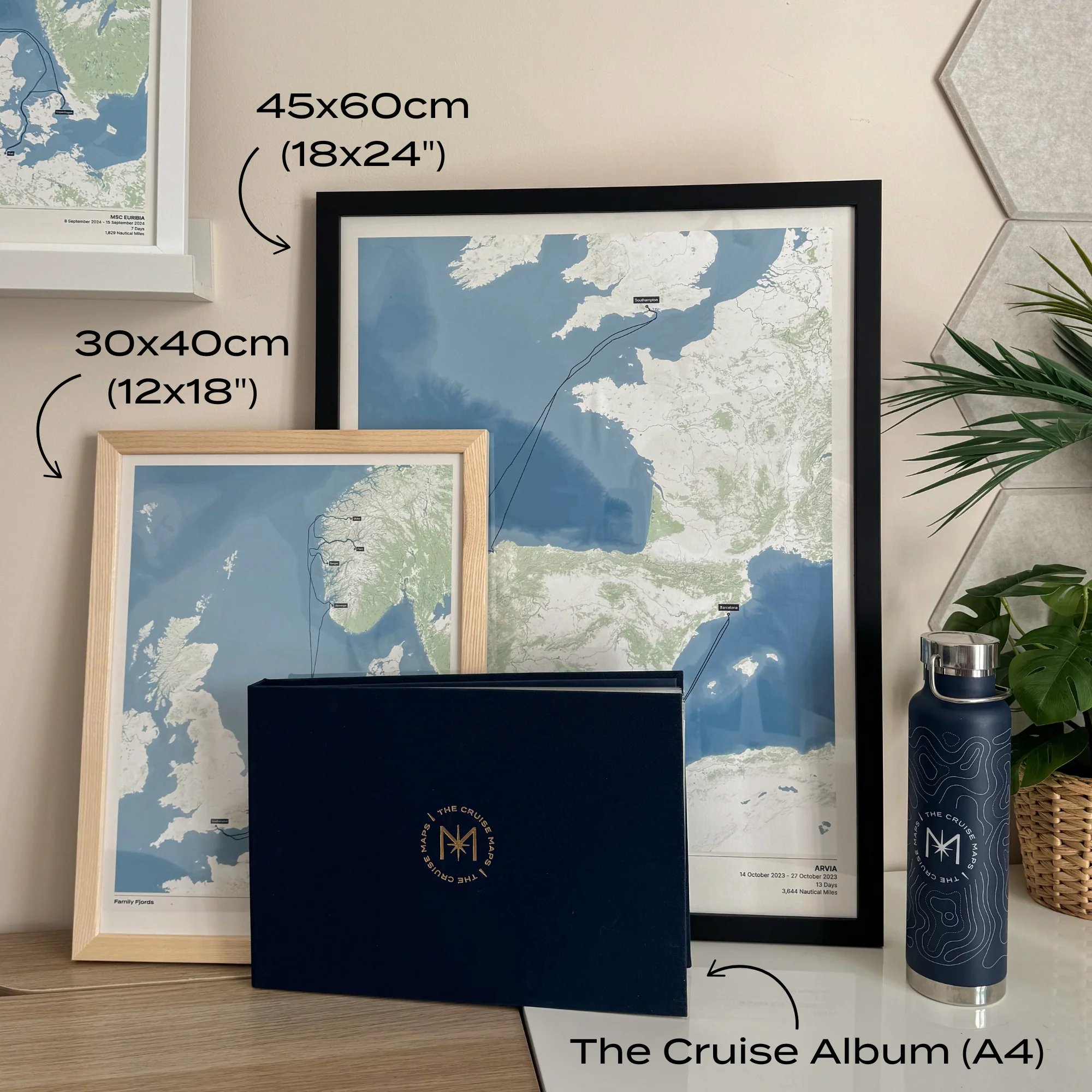
- Album Size (A4) - 21x29.7cm (8.3x11.7") [Album sold separately]
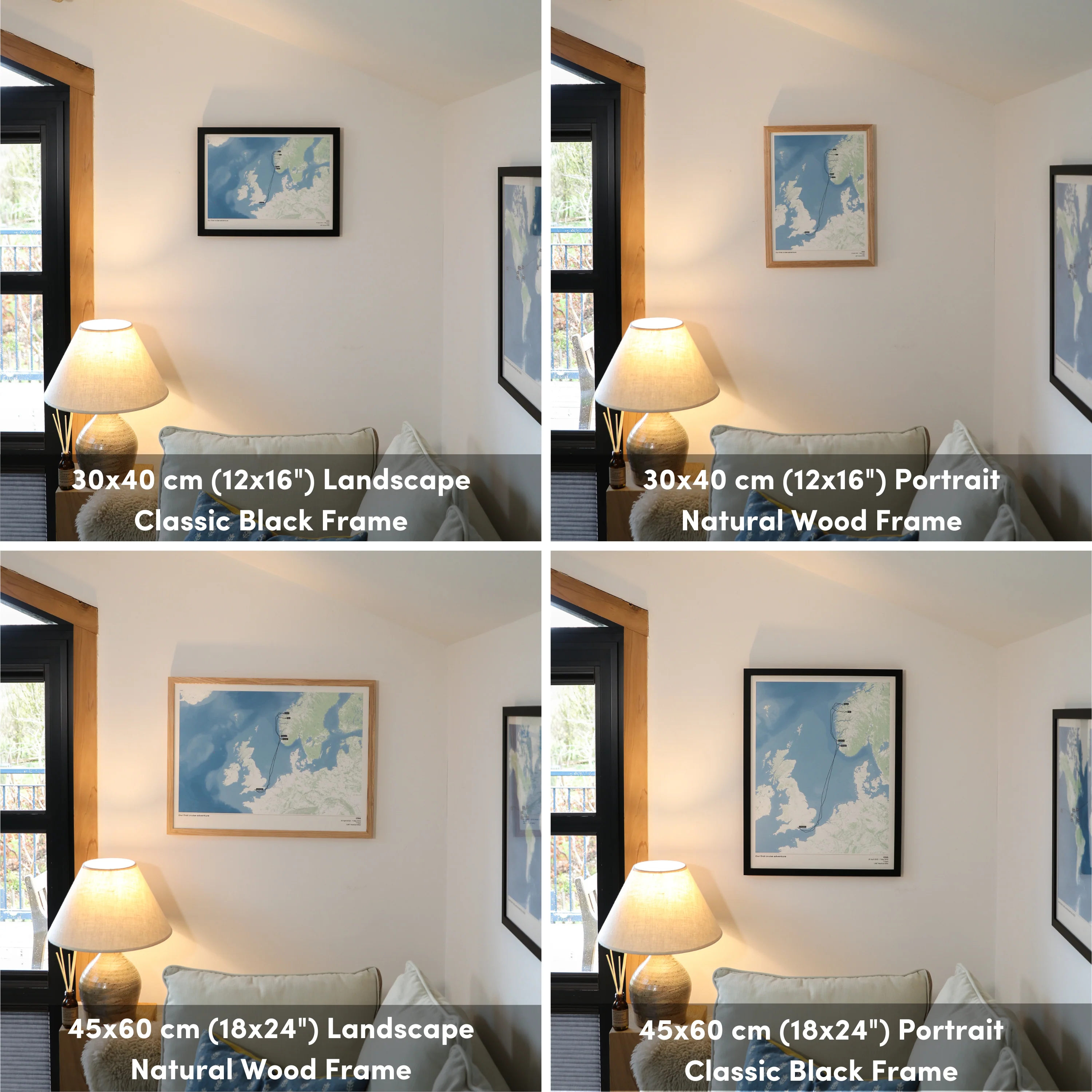
- 30x40cm or 12x16” (location dependent)
- 45x60cm or 18x24” (location dependent)
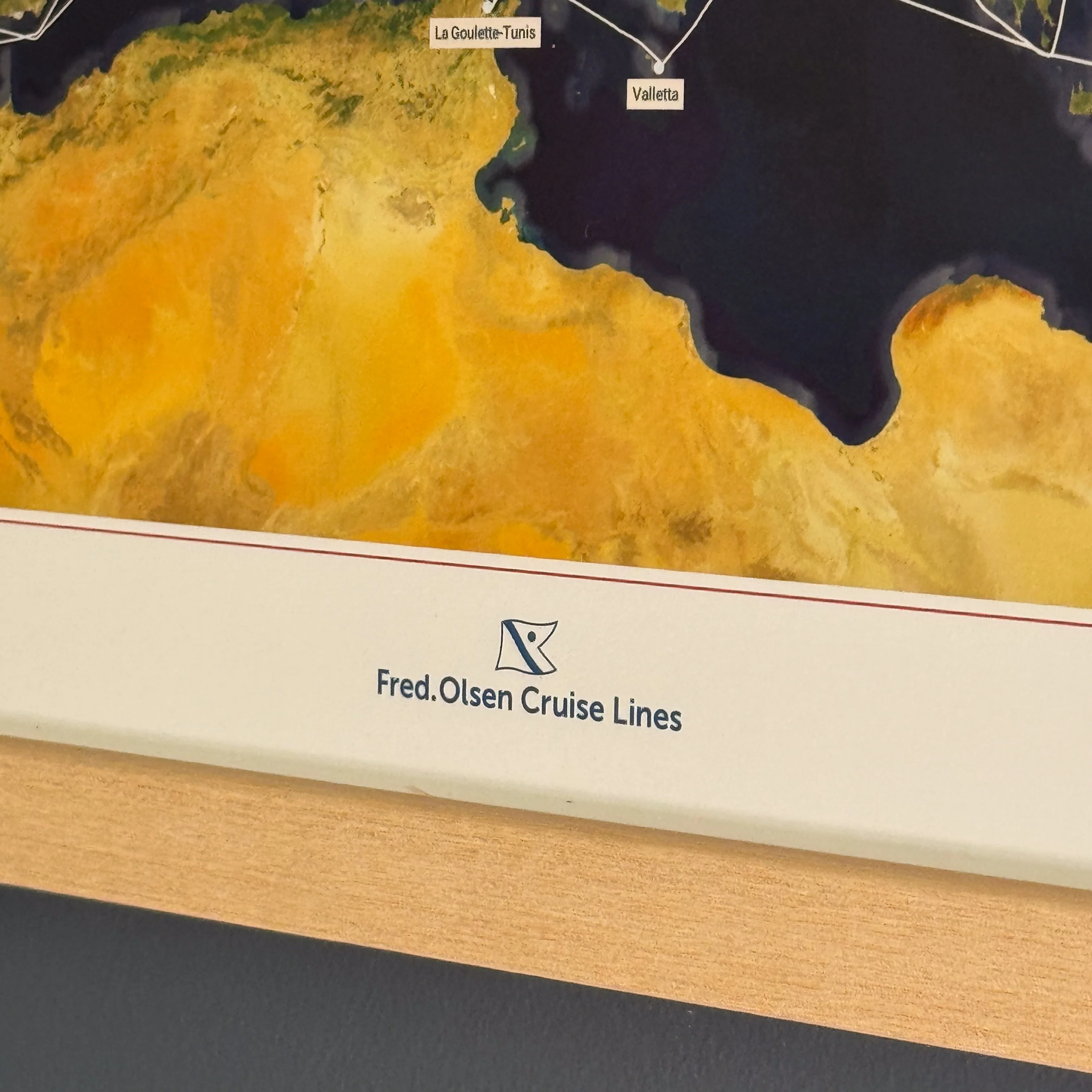
Quality:
- Giclée printing technology
- 200gsm "fine art" paper
- Smooth texture, matt finish
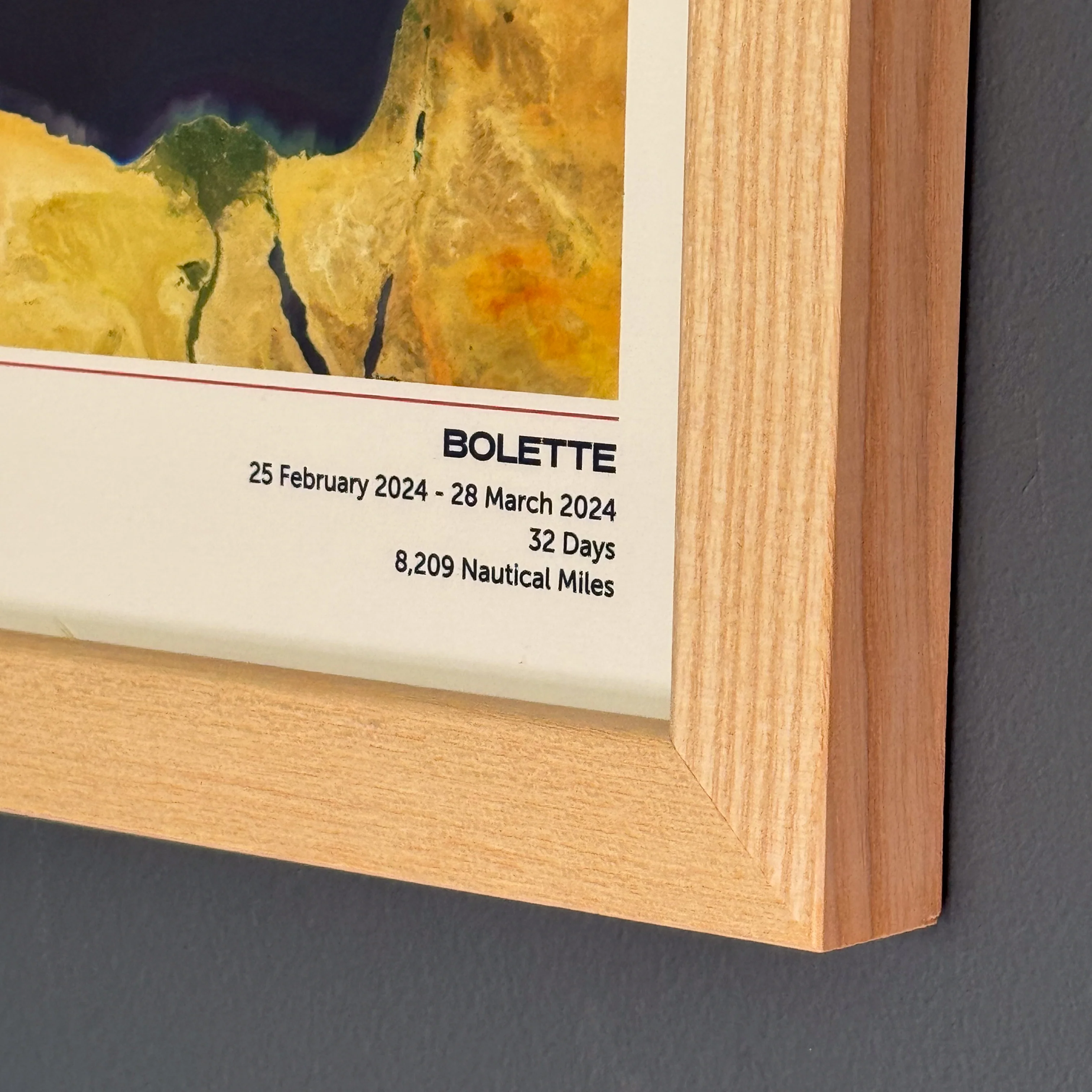
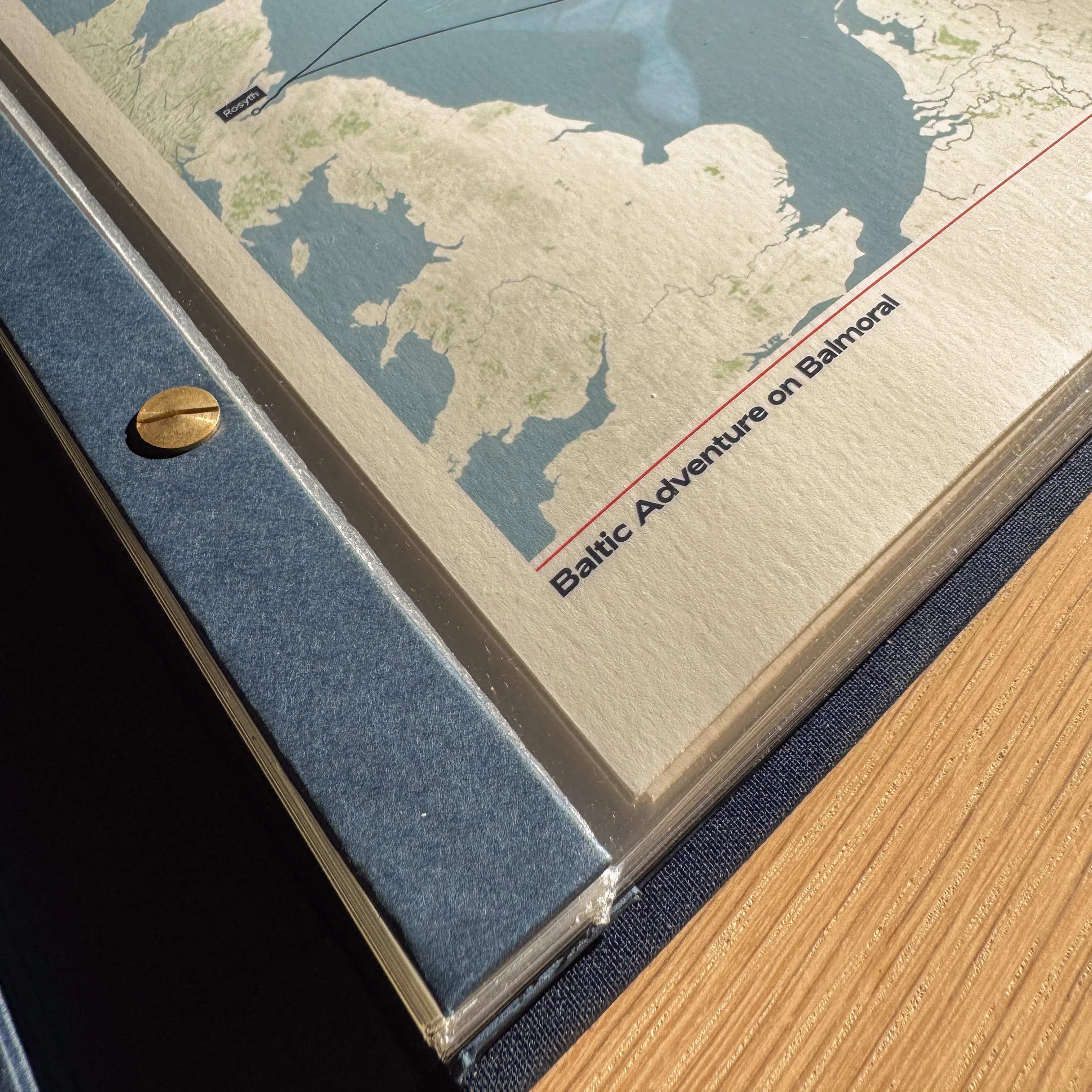
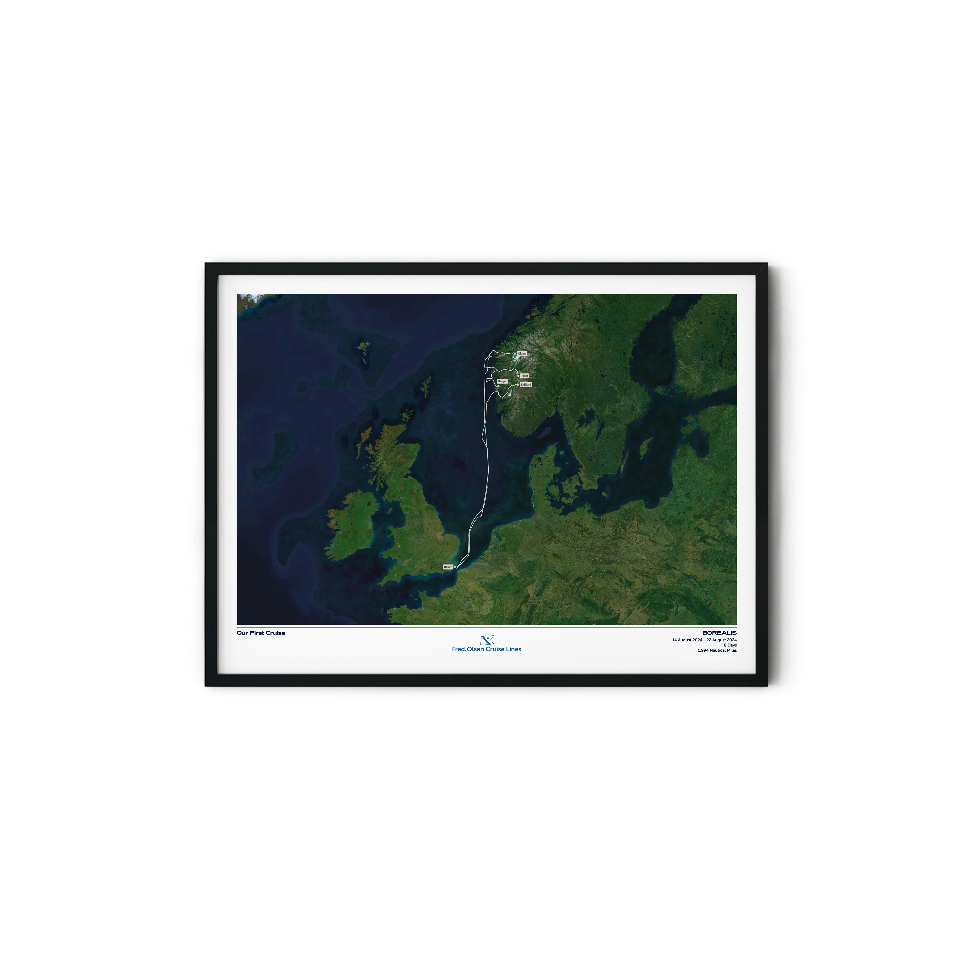
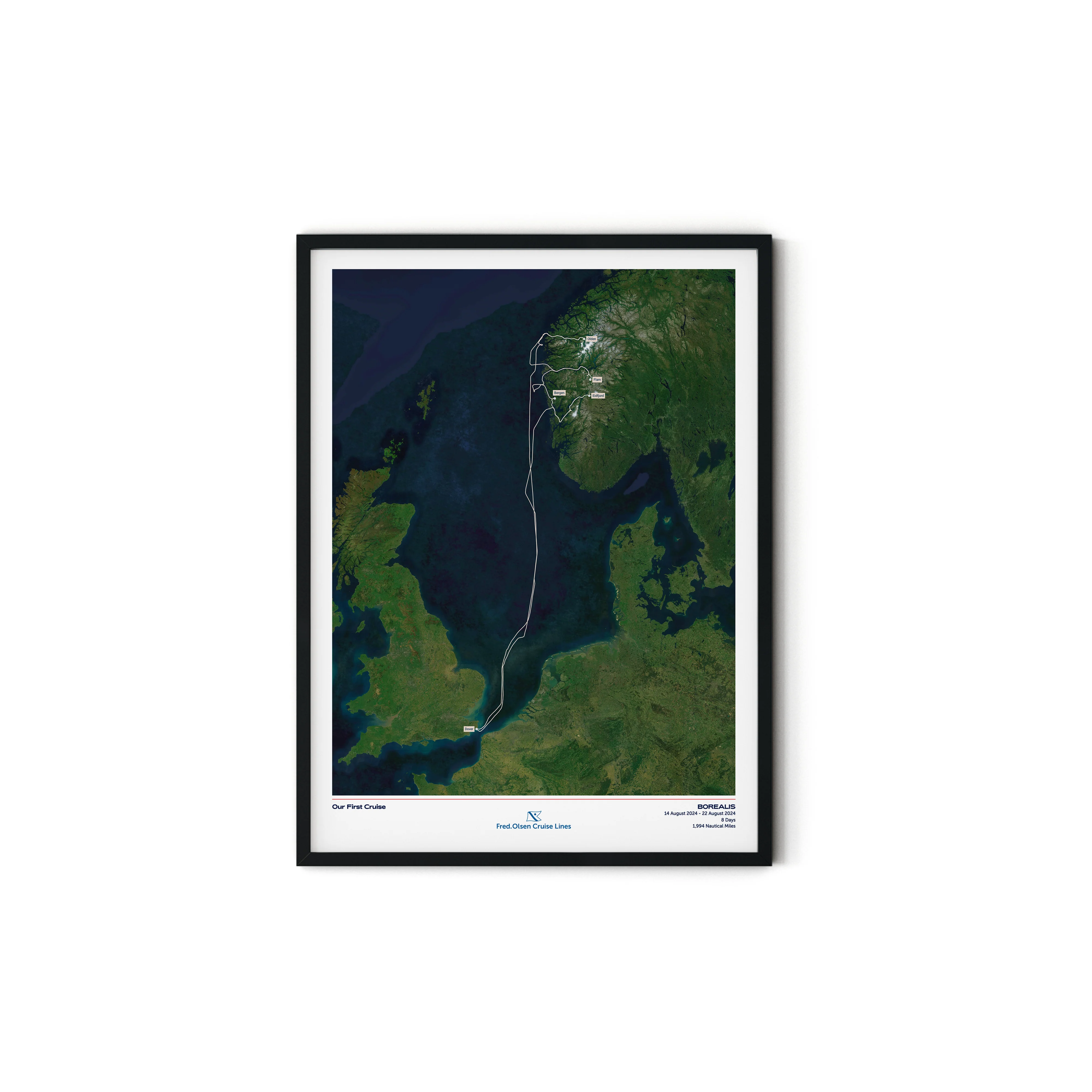
Professional Framing Process:
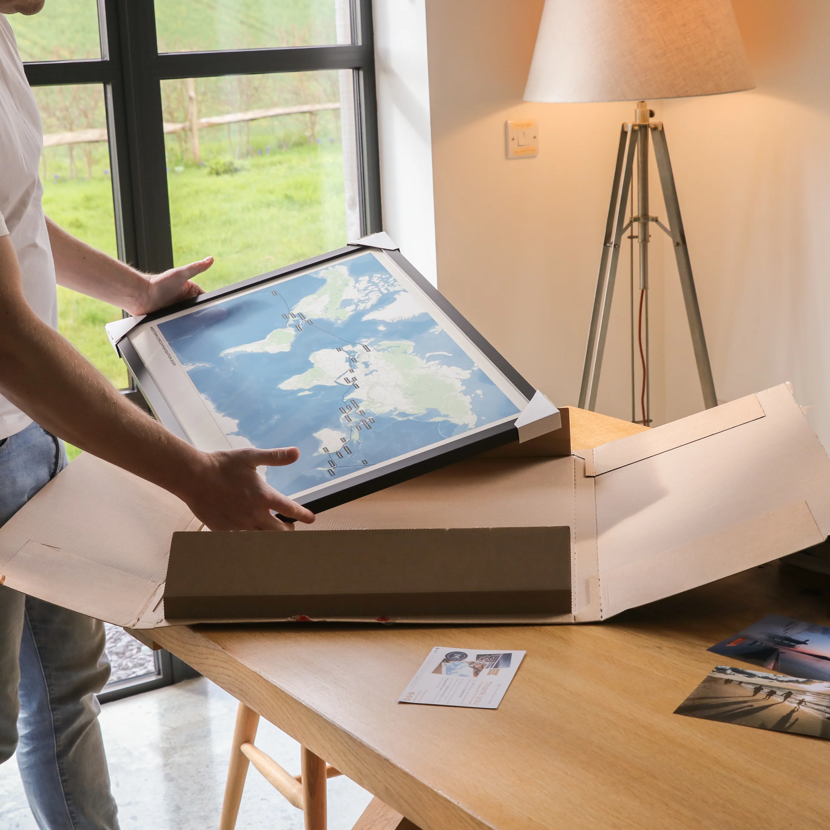
- Mounted on foam board to provide durability
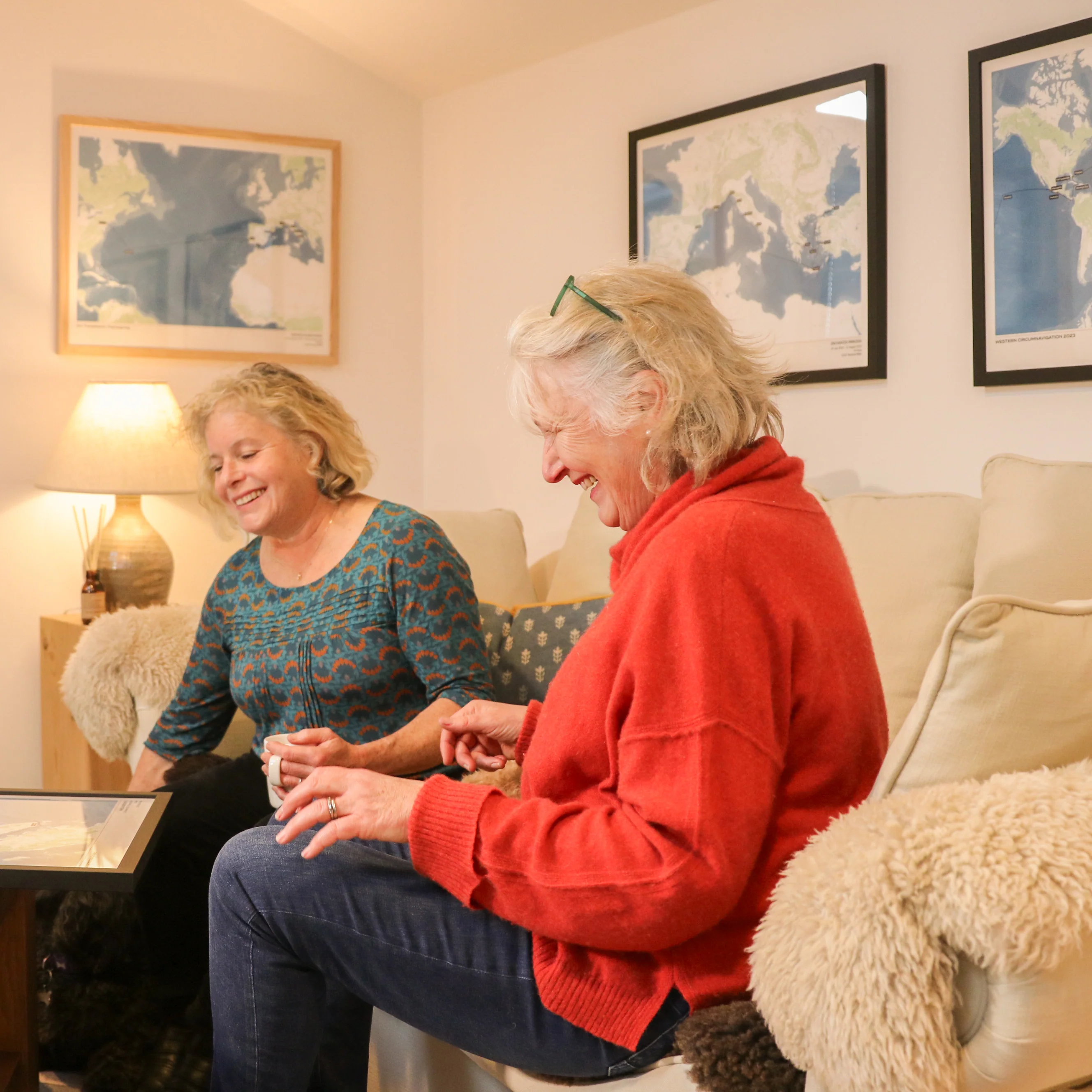
- Frames hand-crafted using sustainably sourced wood
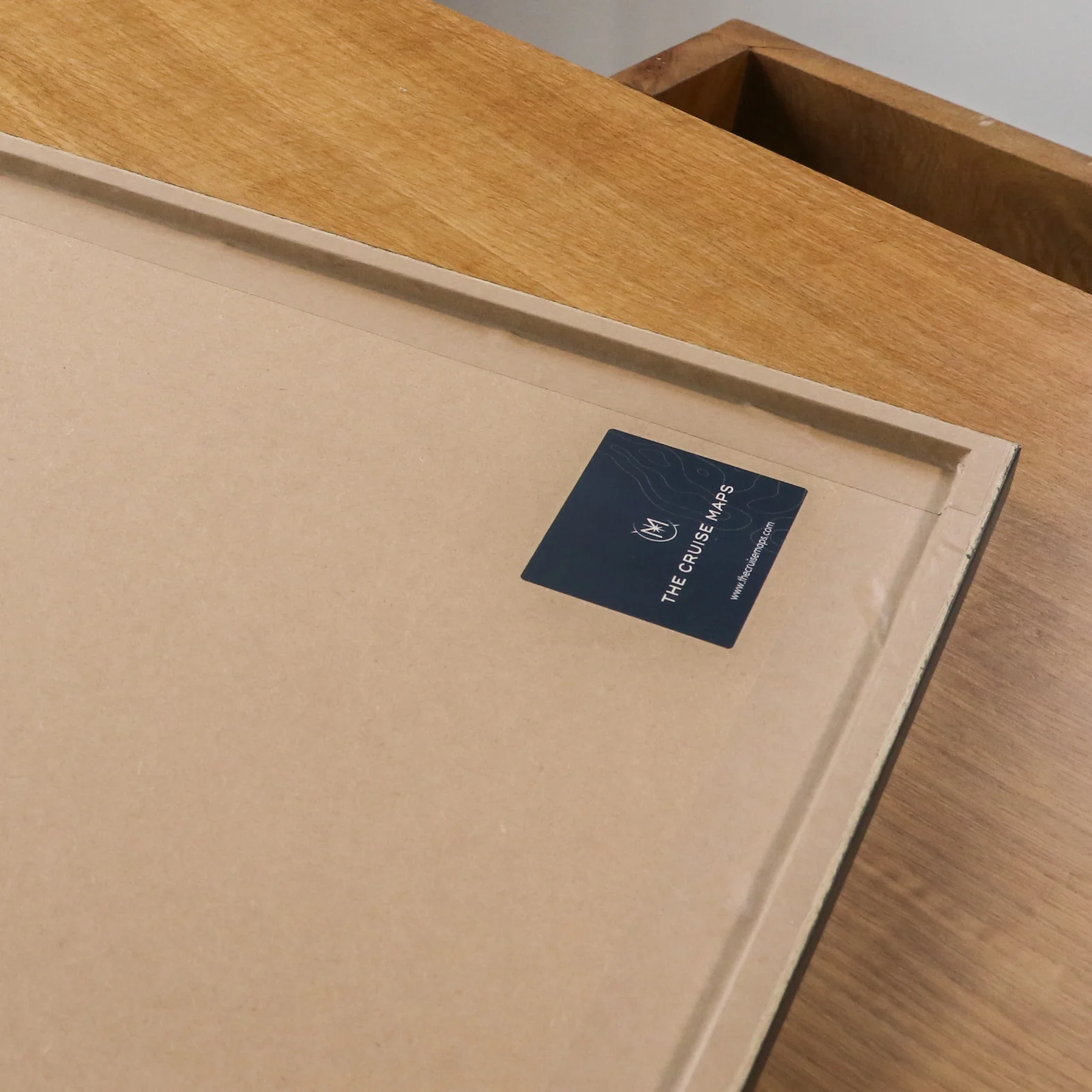
- Taped back to provide a protective and premium finish
- Delivered ready to hang
Original: $71.45
-70%$71.45
$21.43More Images

Fred. Olsen Custom Cruise Map - Satellite
Create a beautiful customised print map of your exact Fred. Olsen cruise. Each map is made to order using AIS (satellite ship-tracking) data to show where you actually went, rather than just the itinerary route. Select your Fred. Olsen ship along with embarkation and disembarkation points and we'll do the rest.
For older cruises (before 2015) we’ll be in touch via email to request a few more details to create a presumed route for your map.
Start your collection now. Get a FREE cruise album when you buy any 5 Album Size maps. Simply add your Album Size maps and Cruise Album to cart and the discounts will apply automatically - see here for details
Product Details:
Sizes:
- Album Size (A4) - 21x29.7cm (8.3x11.7") [Album sold separately]
- 30x40cm or 12x16” (location dependent)
- 45x60cm or 18x24” (location dependent)
Quality:
- Giclée printing technology
- 200gsm "fine art" paper
- Smooth texture, matt finish
Professional Framing Process:
- Mounted on foam board to provide durability
- Frames hand-crafted using sustainably sourced wood
- Taped back to provide a protective and premium finish
- Delivered ready to hang
Product Information
Product Information
Shipping & Returns
Shipping & Returns
Description
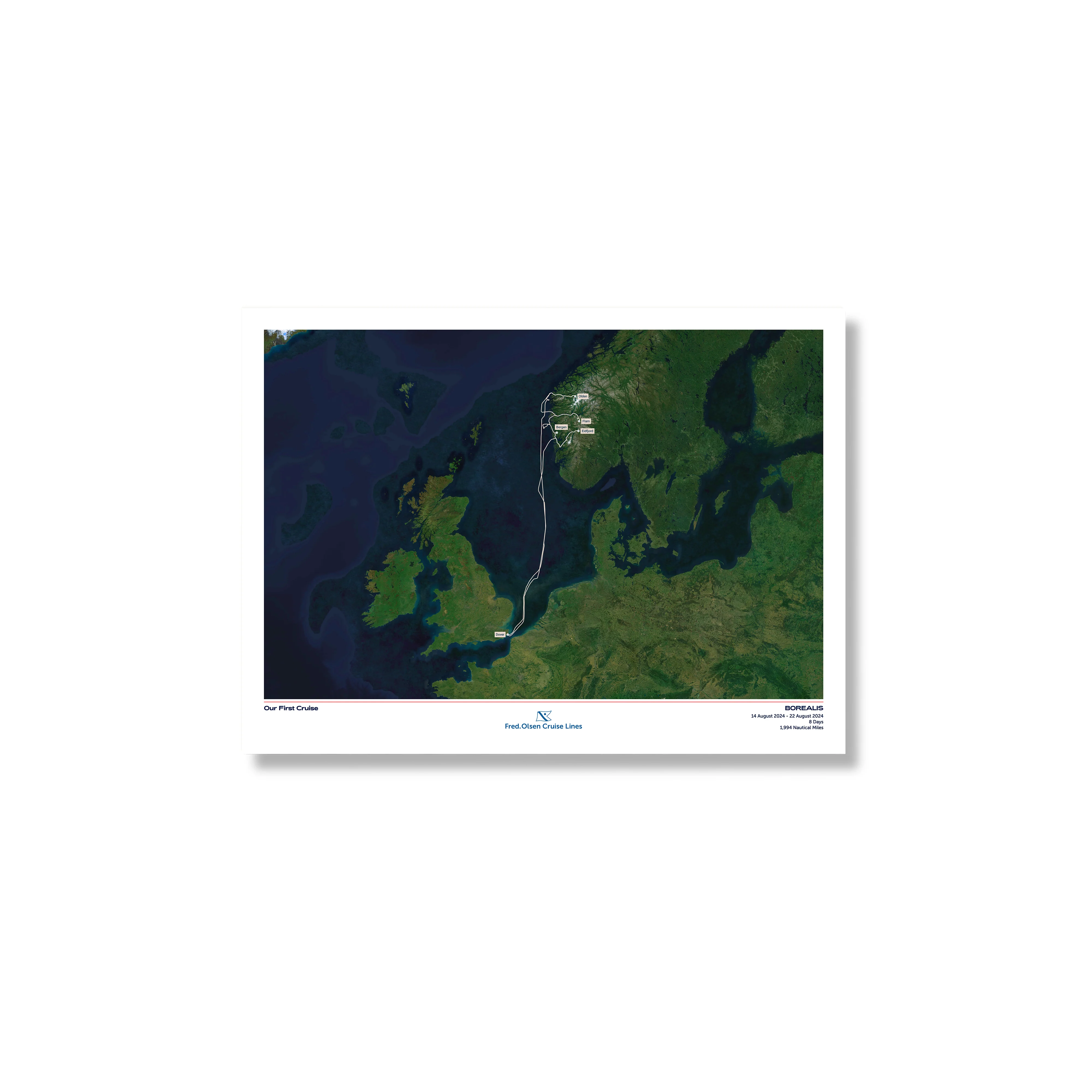
Create a beautiful customised print map of your exact Fred. Olsen cruise. Each map is made to order using AIS (satellite ship-tracking) data to show where you actually went, rather than just the itinerary route. Select your Fred. Olsen ship along with embarkation and disembarkation points and we'll do the rest.
For older cruises (before 2015) we’ll be in touch via email to request a few more details to create a presumed route for your map.
Start your collection now. Get a FREE cruise album when you buy any 5 Album Size maps. Simply add your Album Size maps and Cruise Album to cart and the discounts will apply automatically - see here for details
Product Details:
Sizes:
- Album Size (A4) - 21x29.7cm (8.3x11.7") [Album sold separately]
- 30x40cm or 12x16” (location dependent)
- 45x60cm or 18x24” (location dependent)
Quality:
- Giclée printing technology
- 200gsm "fine art" paper
- Smooth texture, matt finish
Professional Framing Process:
- Mounted on foam board to provide durability
- Frames hand-crafted using sustainably sourced wood
- Taped back to provide a protective and premium finish
- Delivered ready to hang