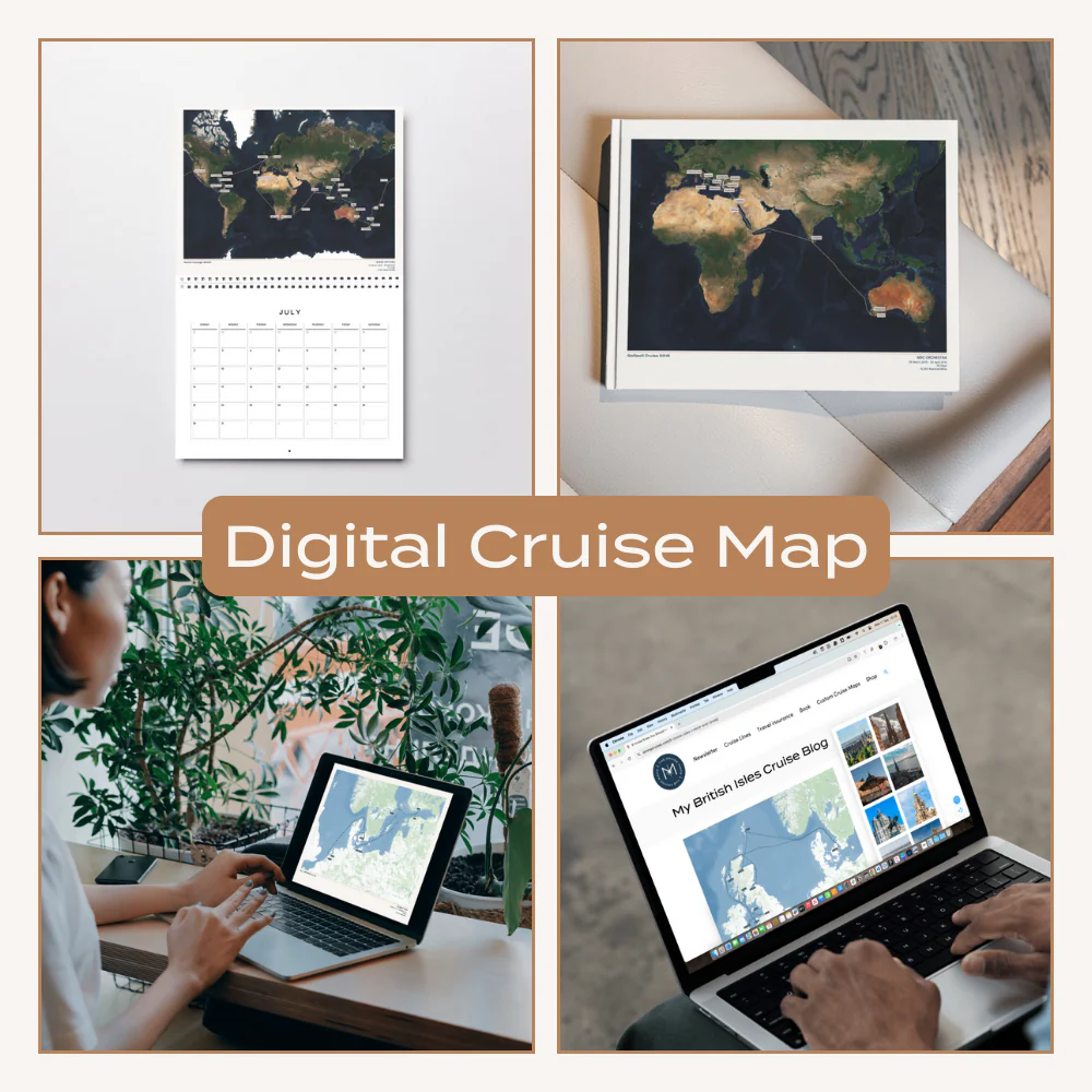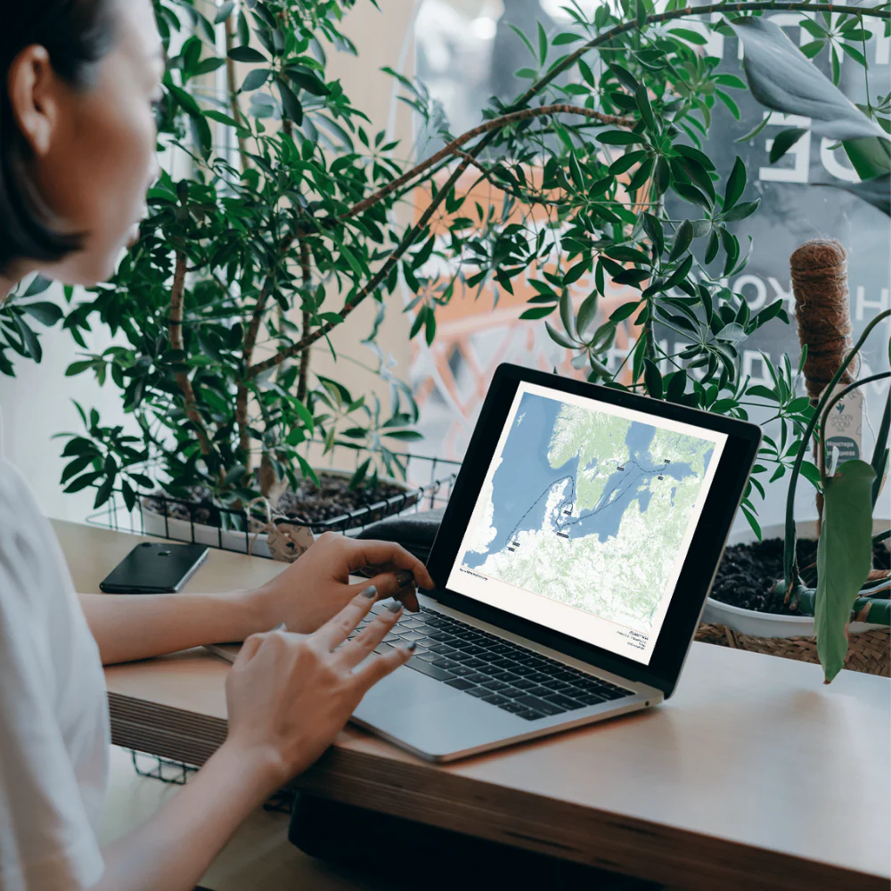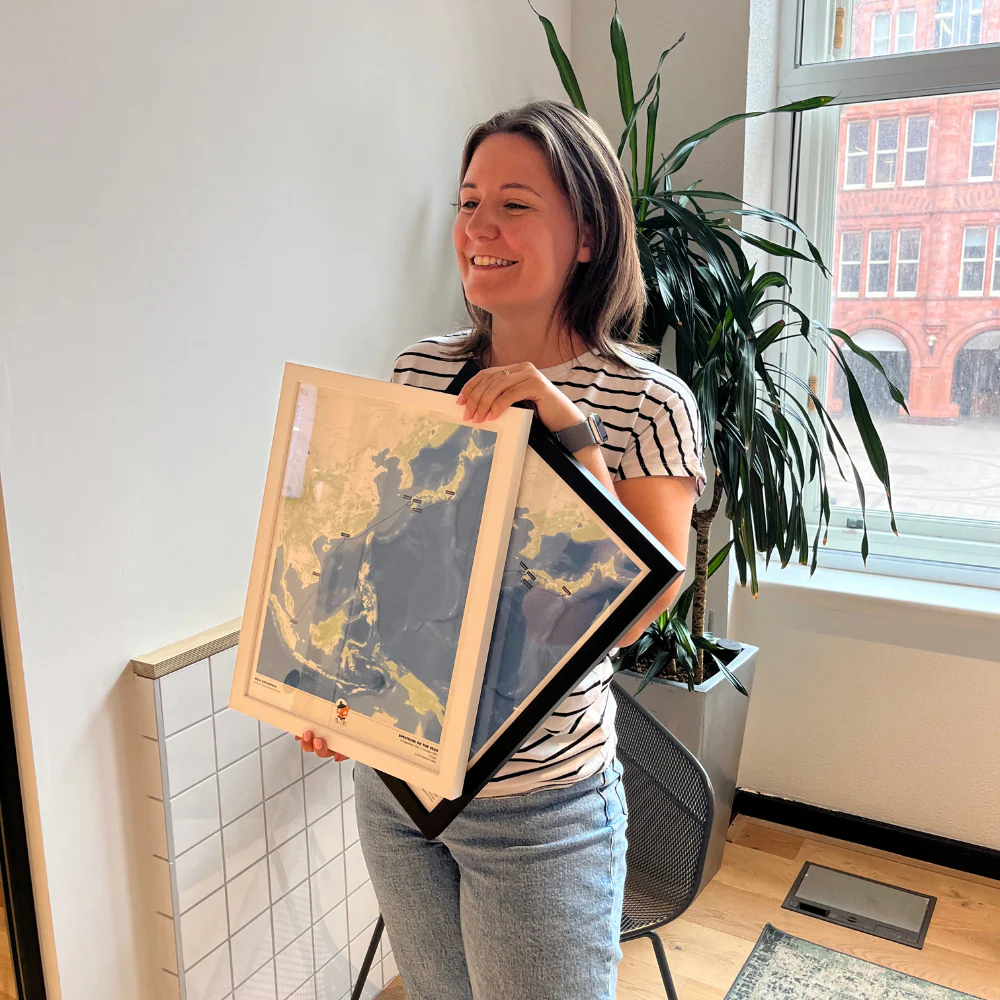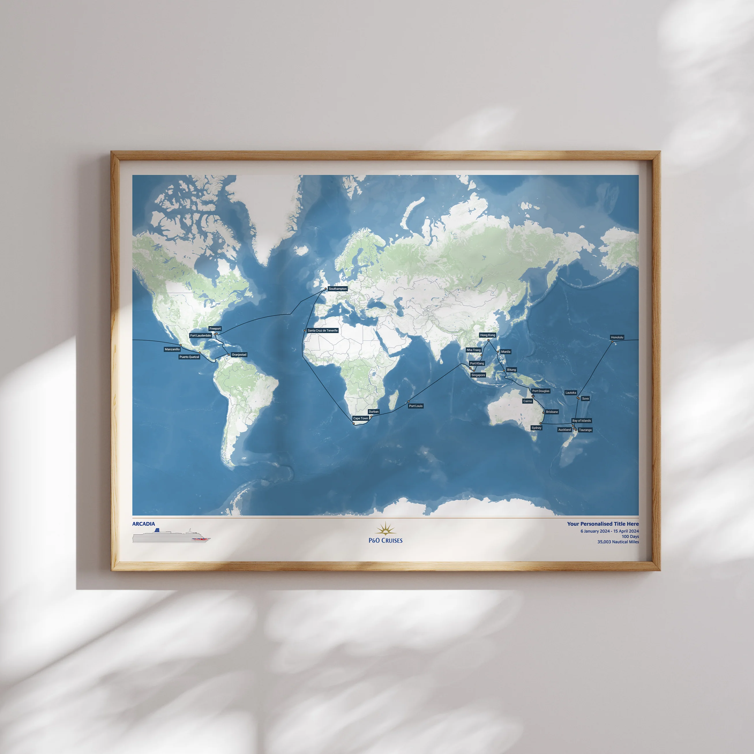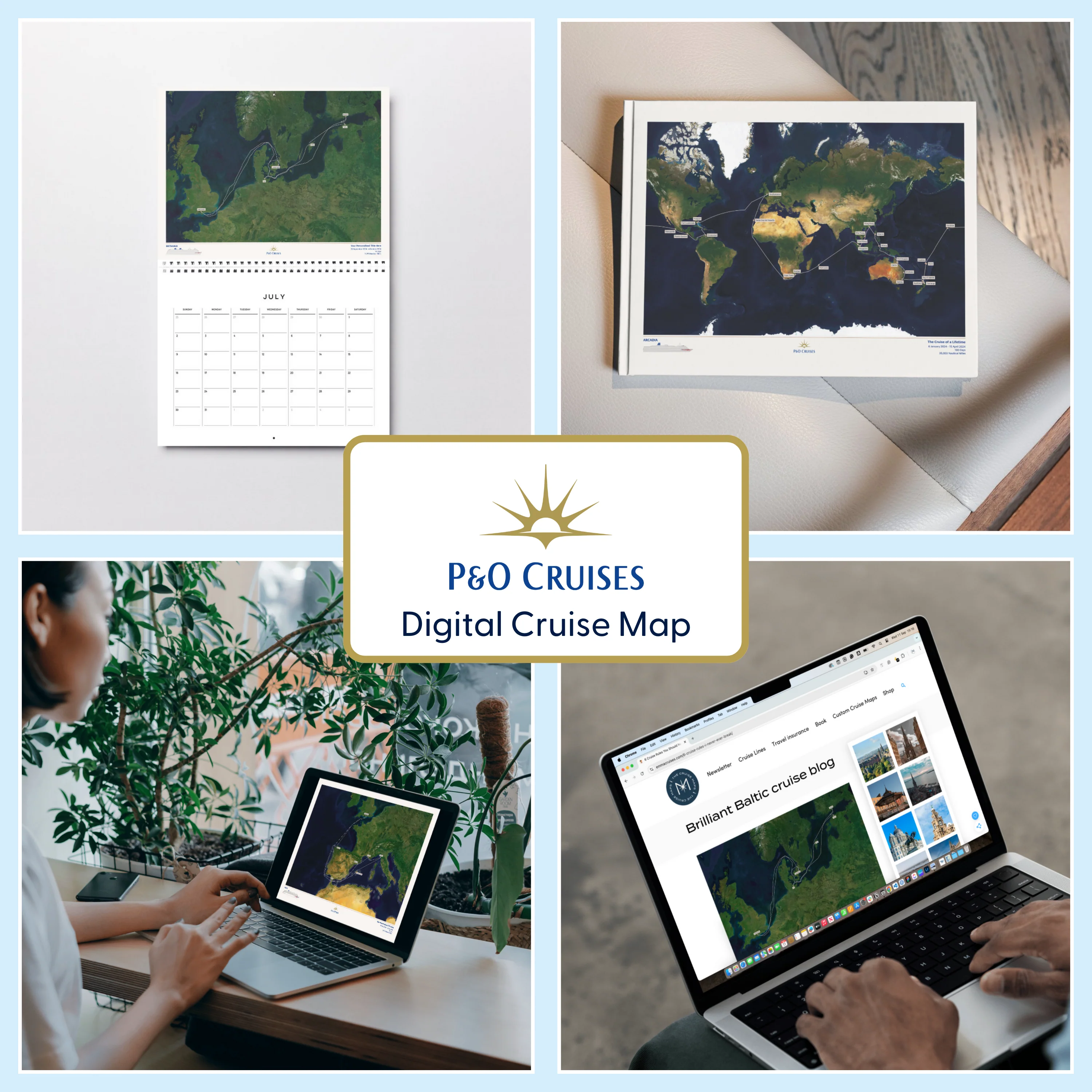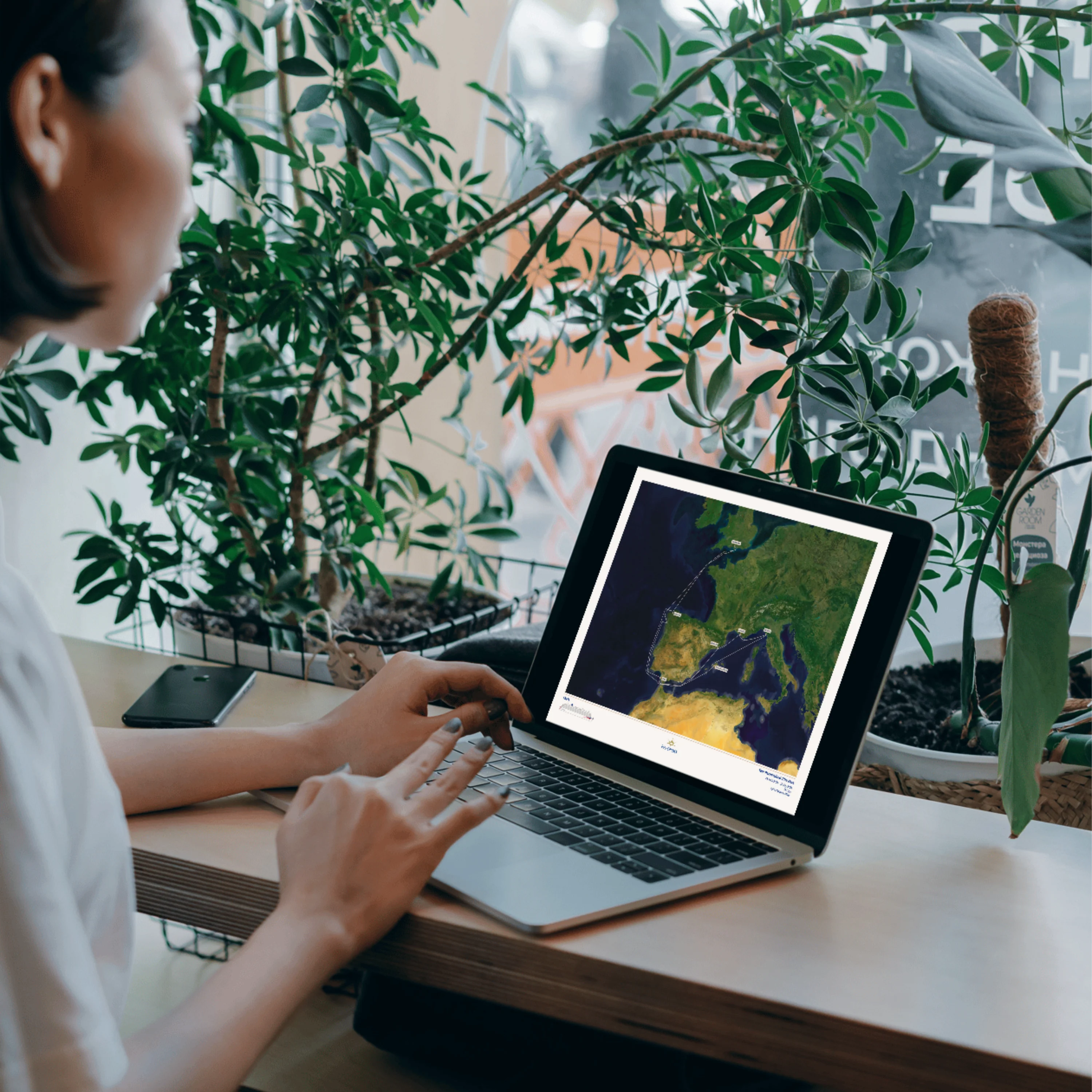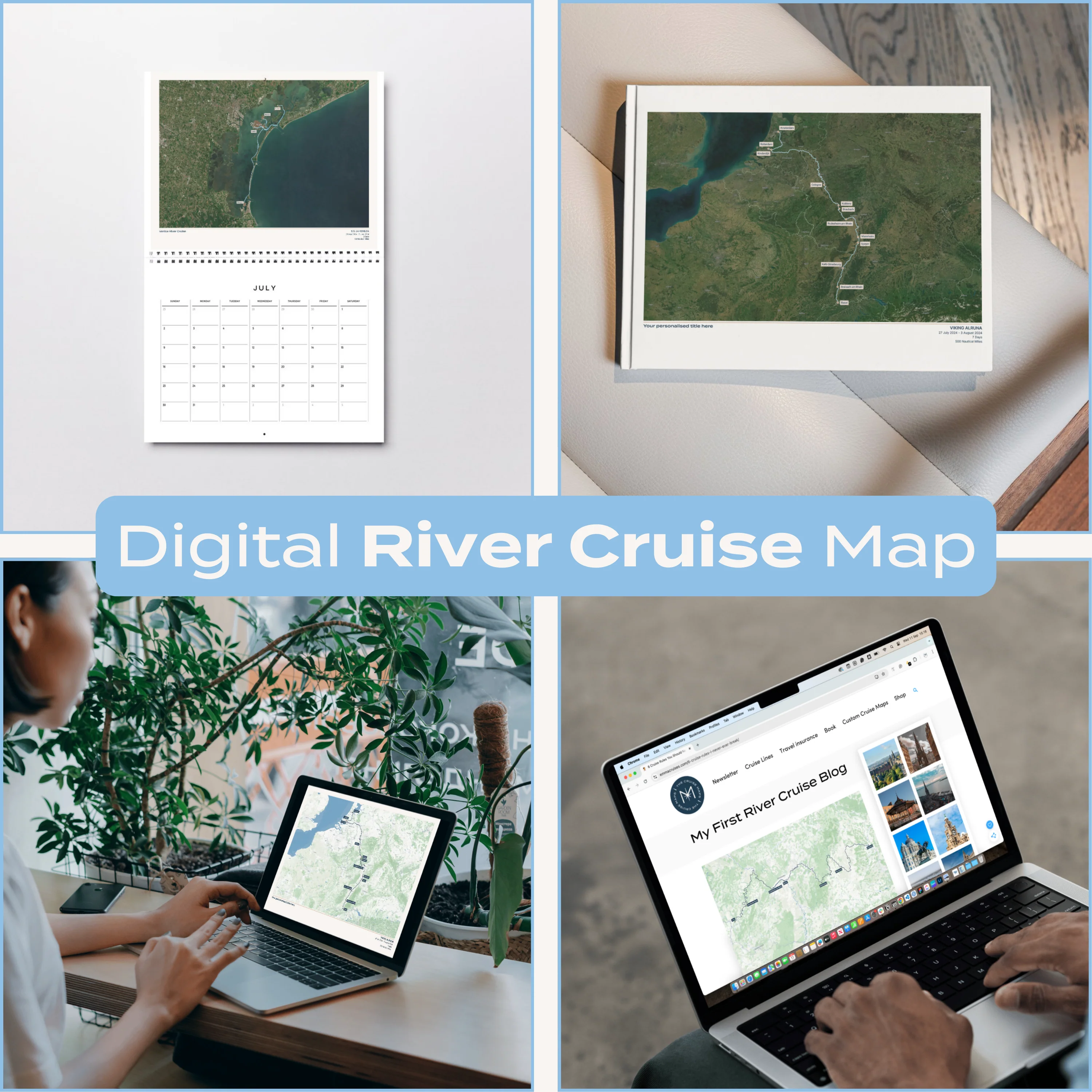
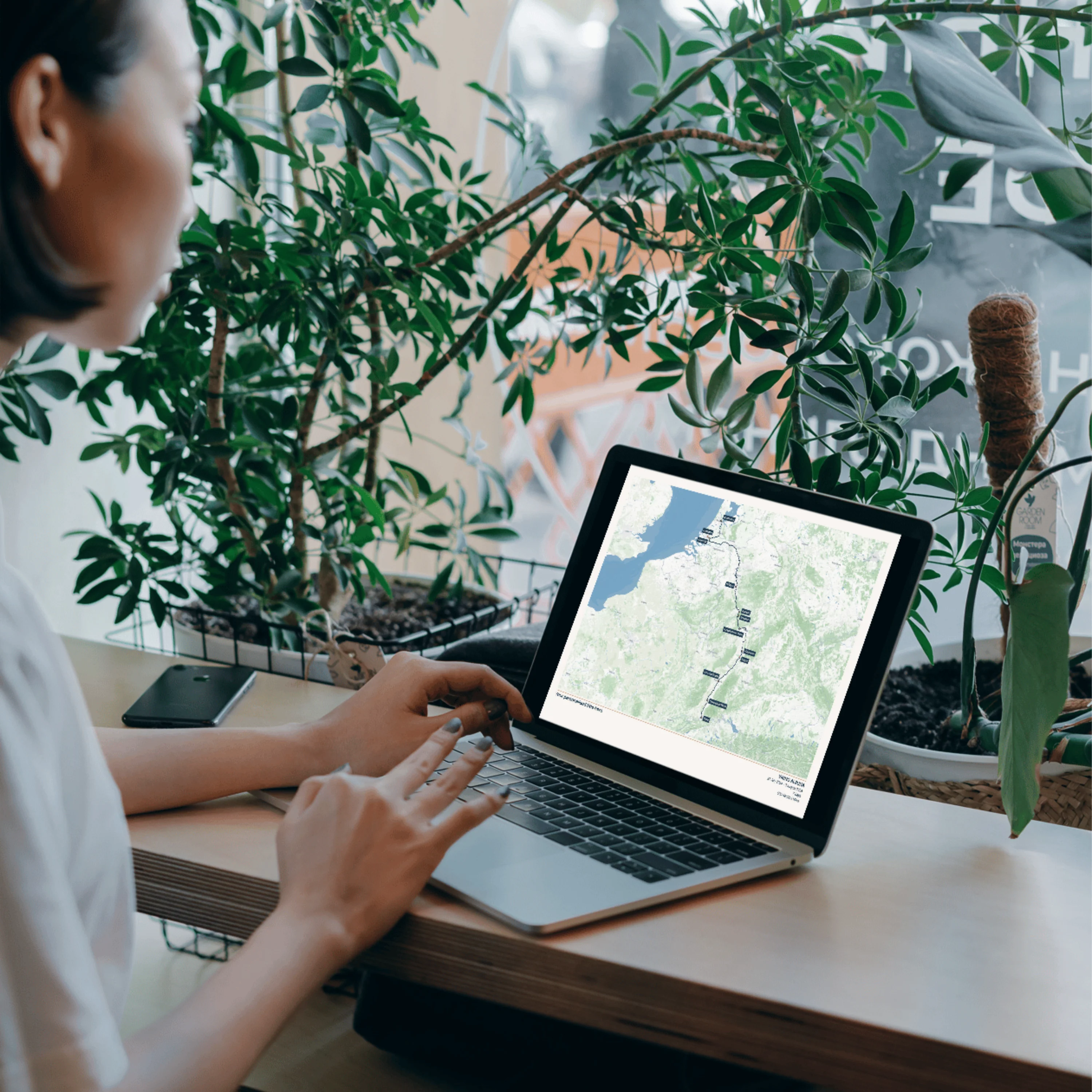
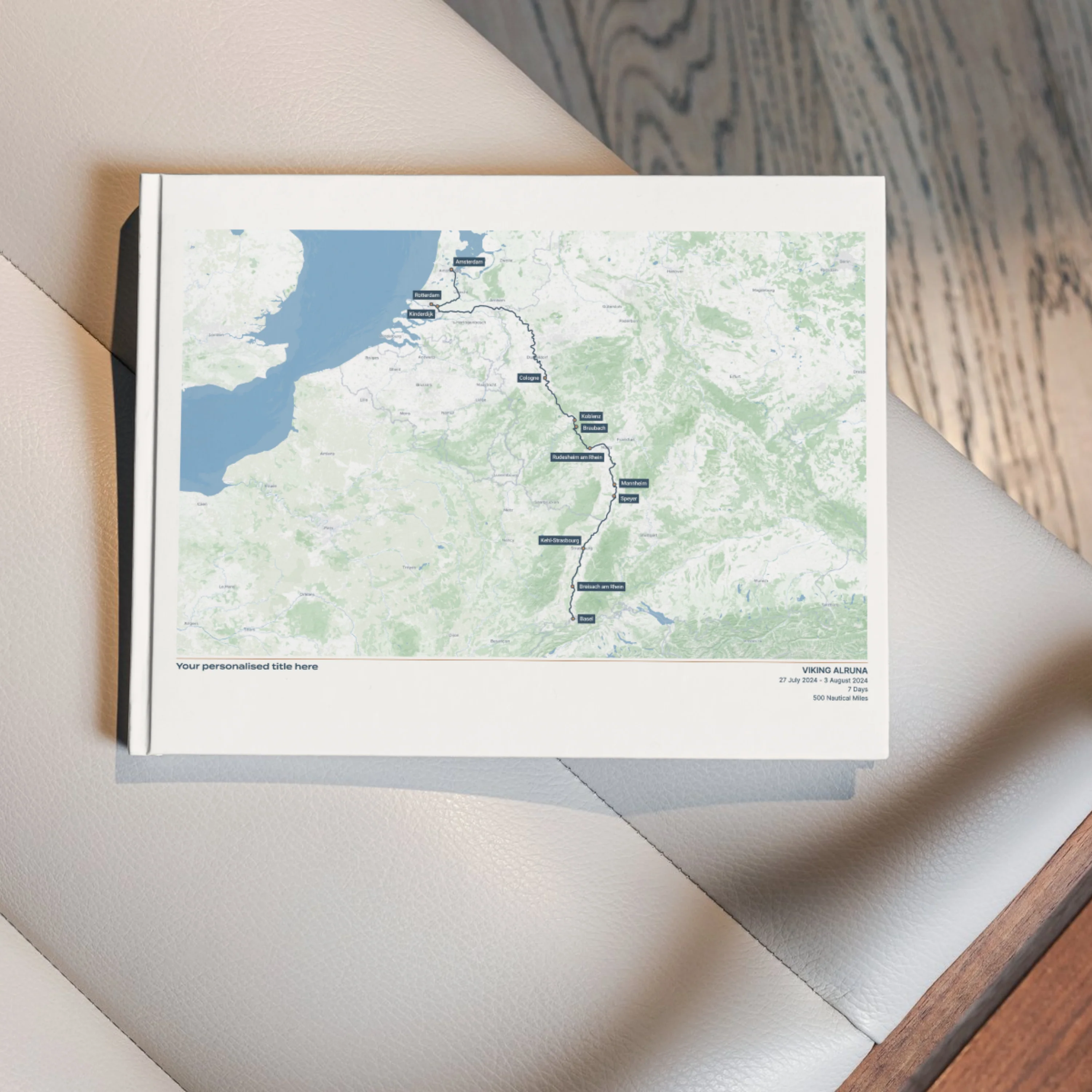
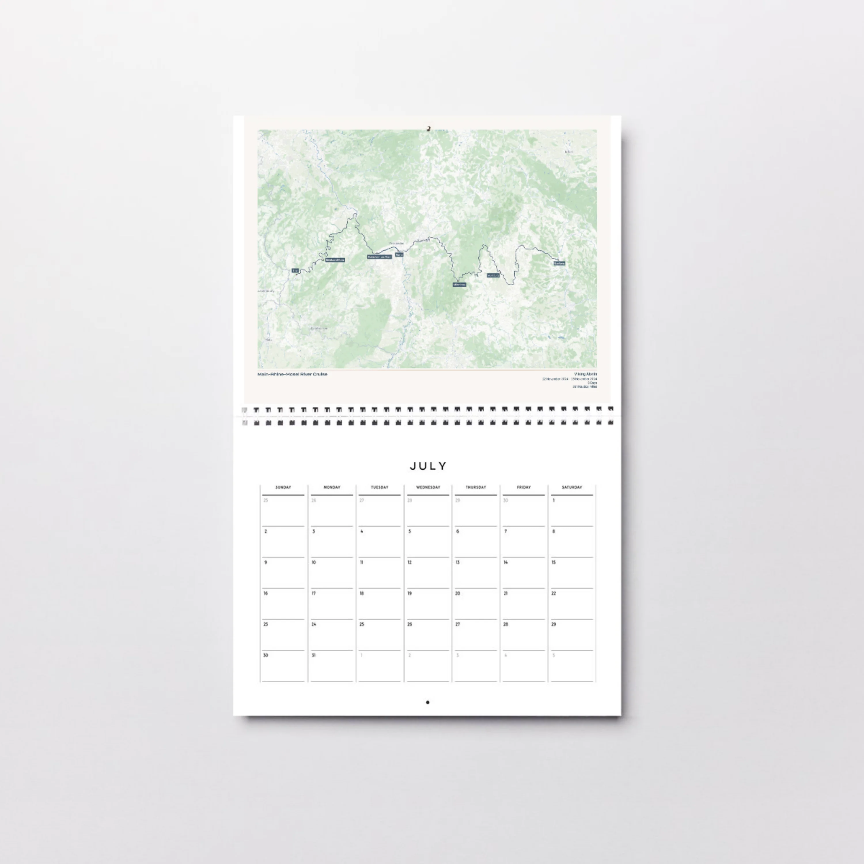
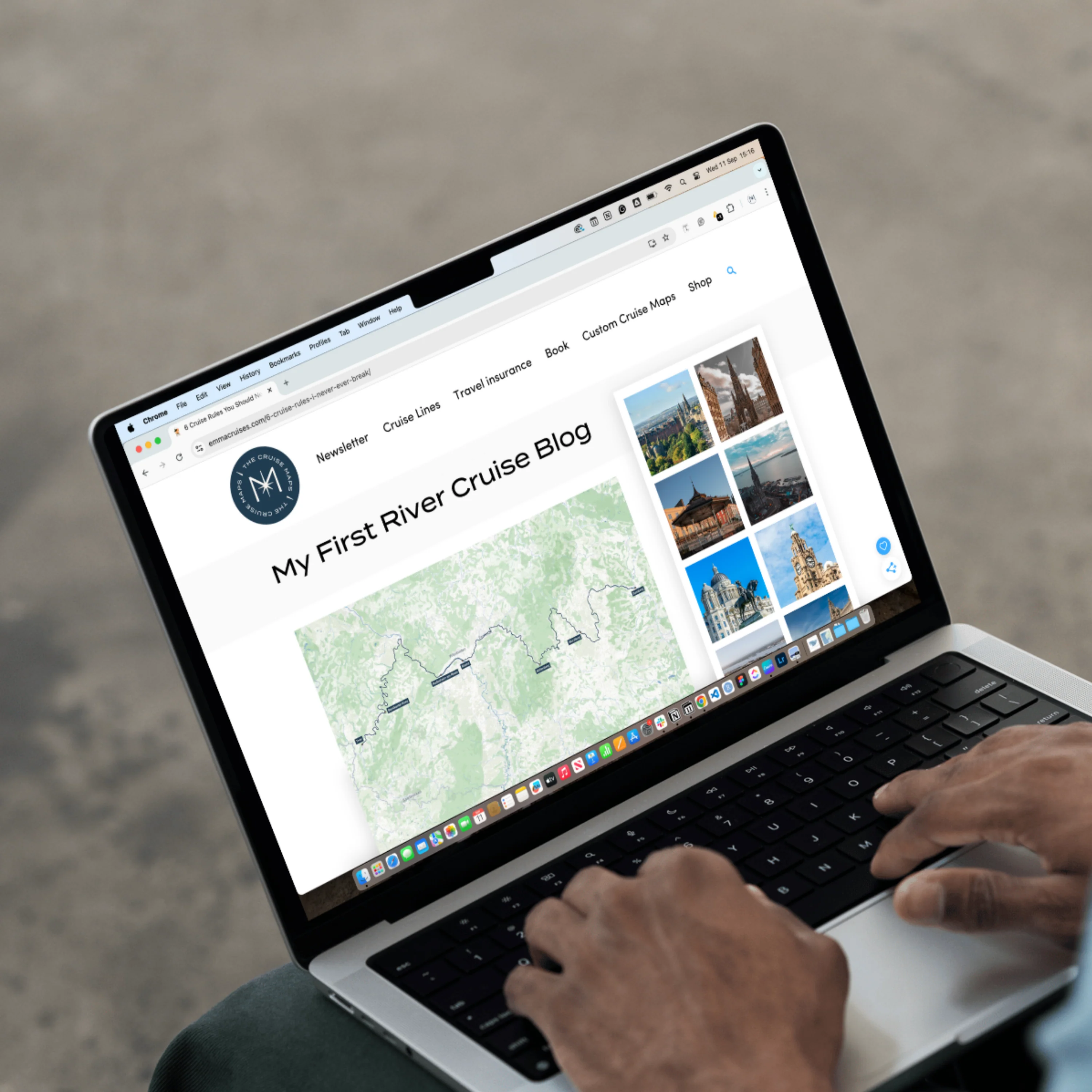
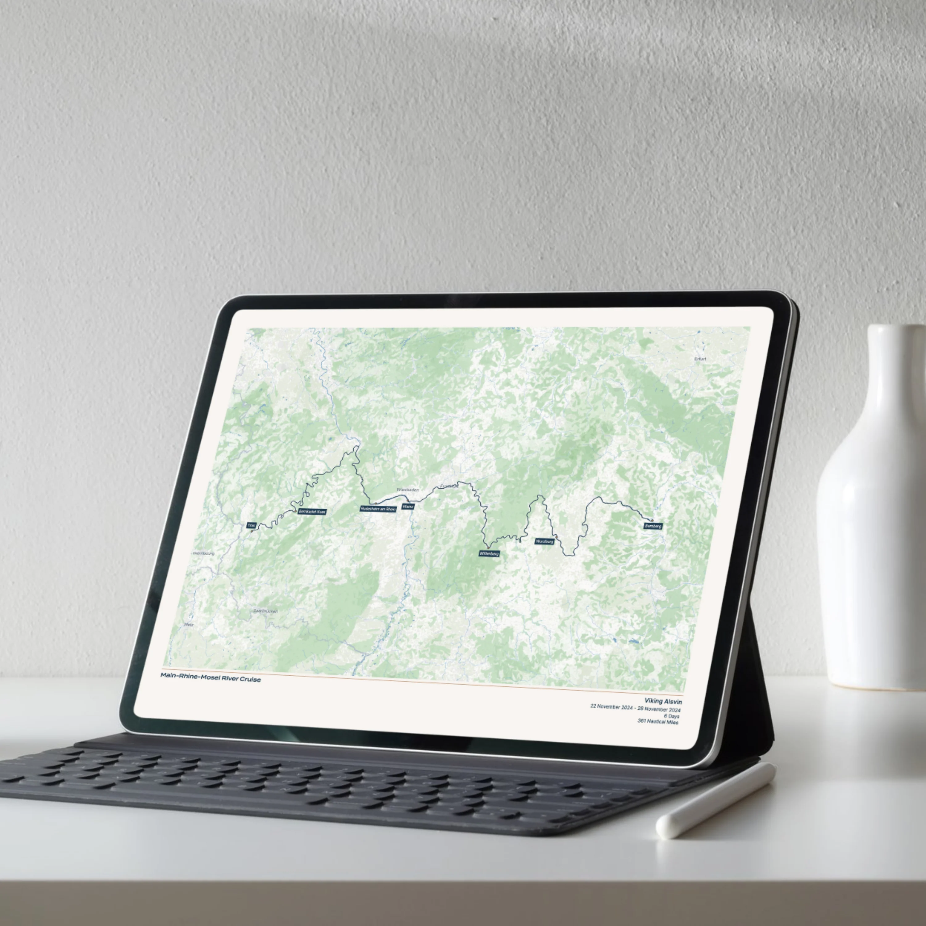
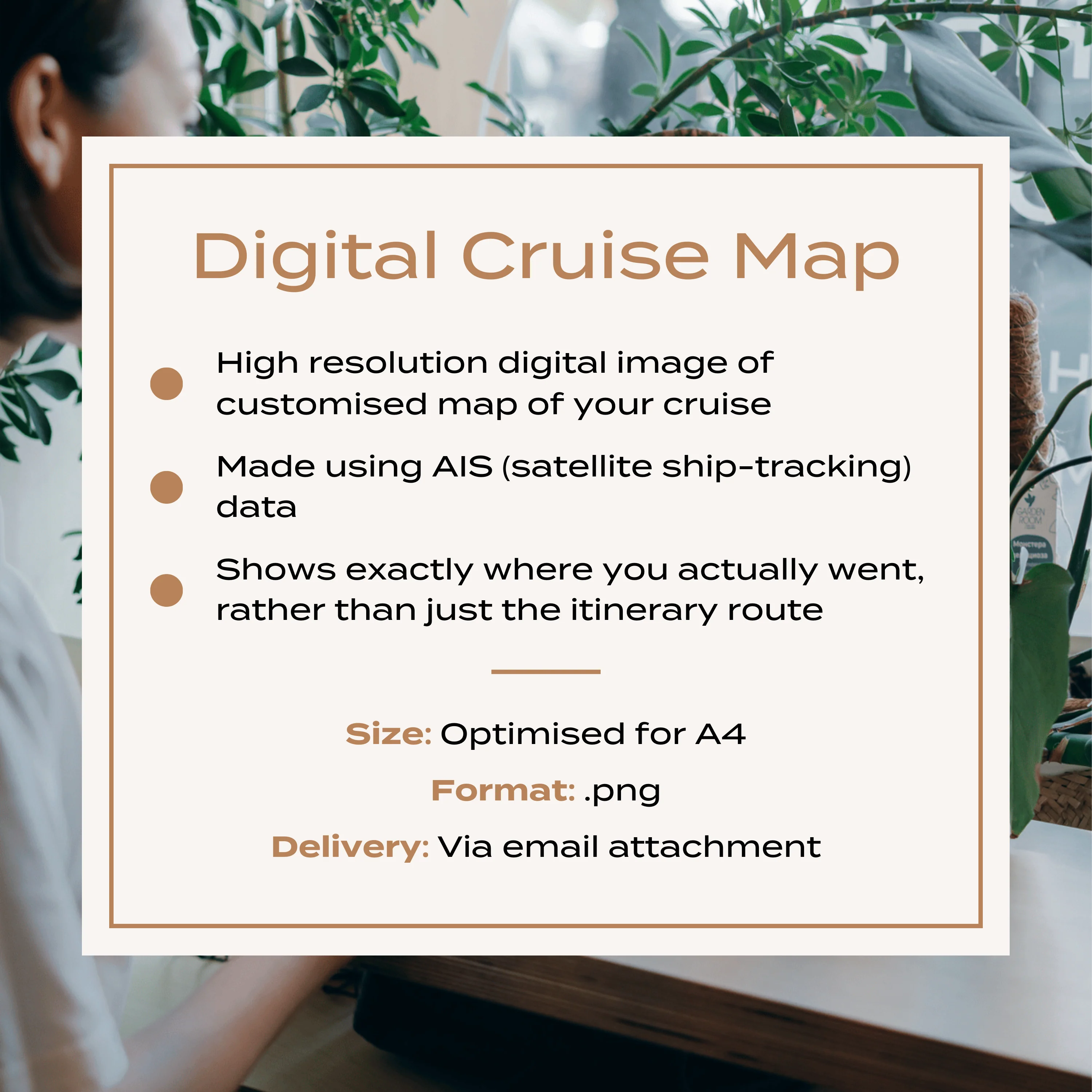
Digital Custom River Cruise Map
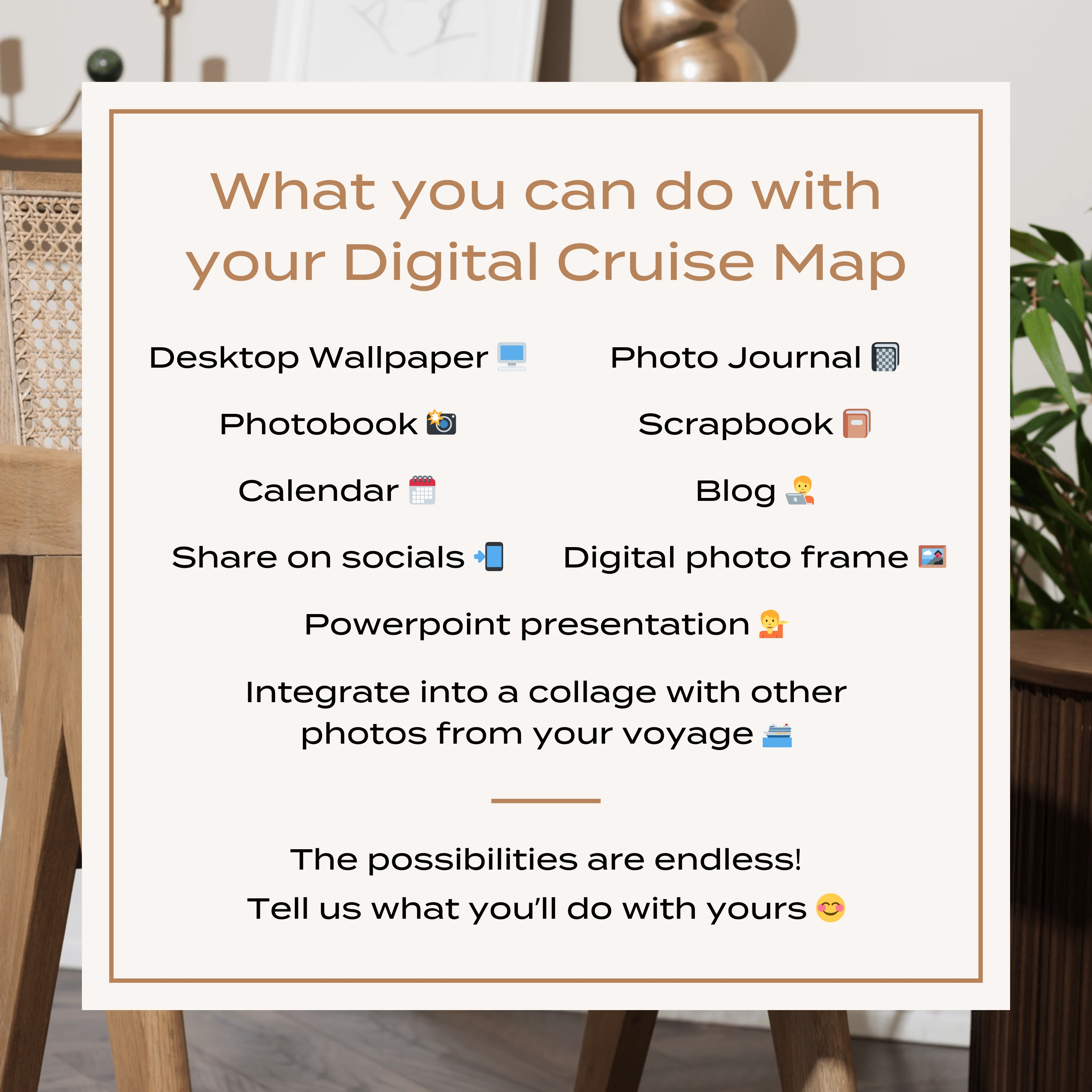
A high resolution digital map of your North American or European river cruise, perfect for adding to a photo book or calendar, or using in a blog or photo journal.
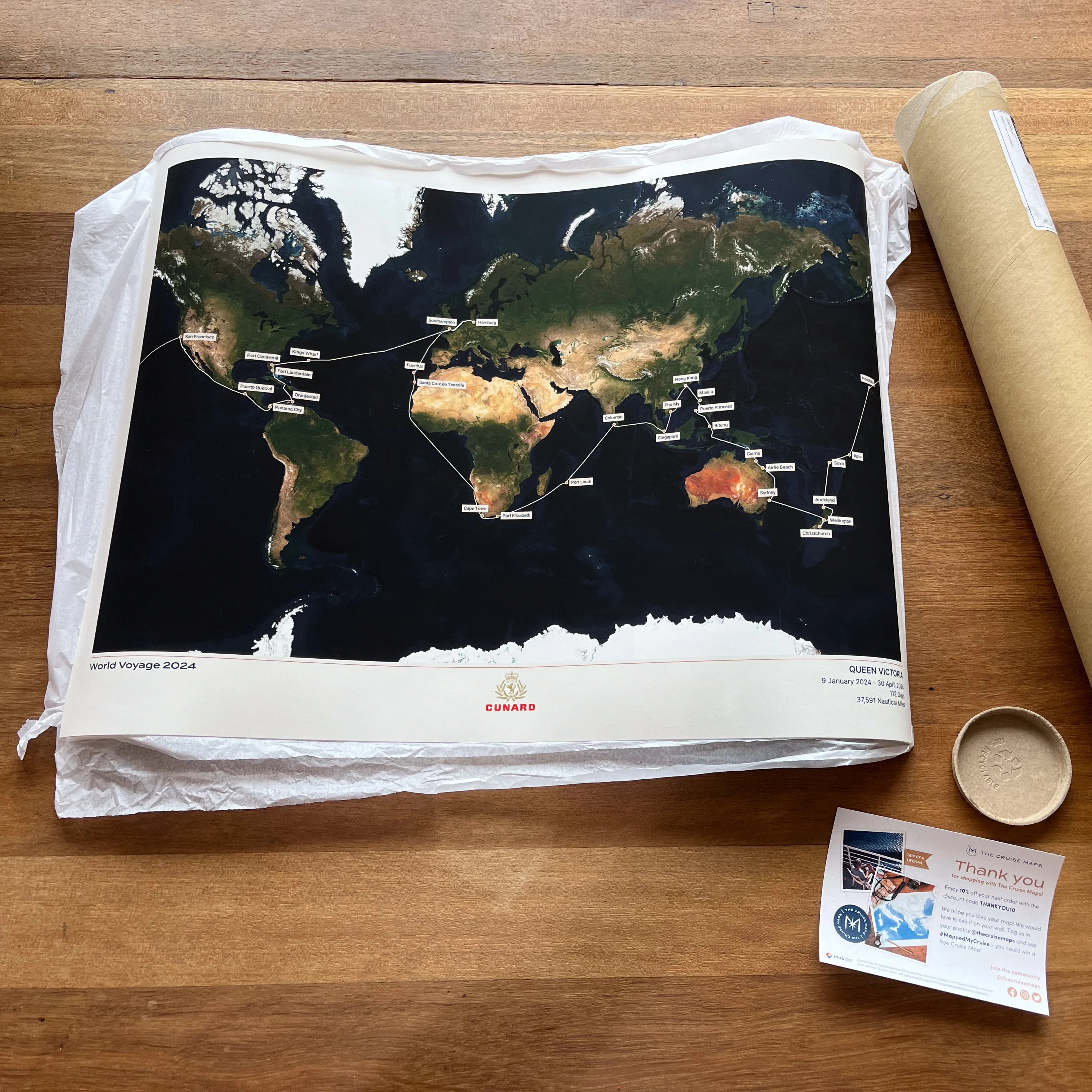
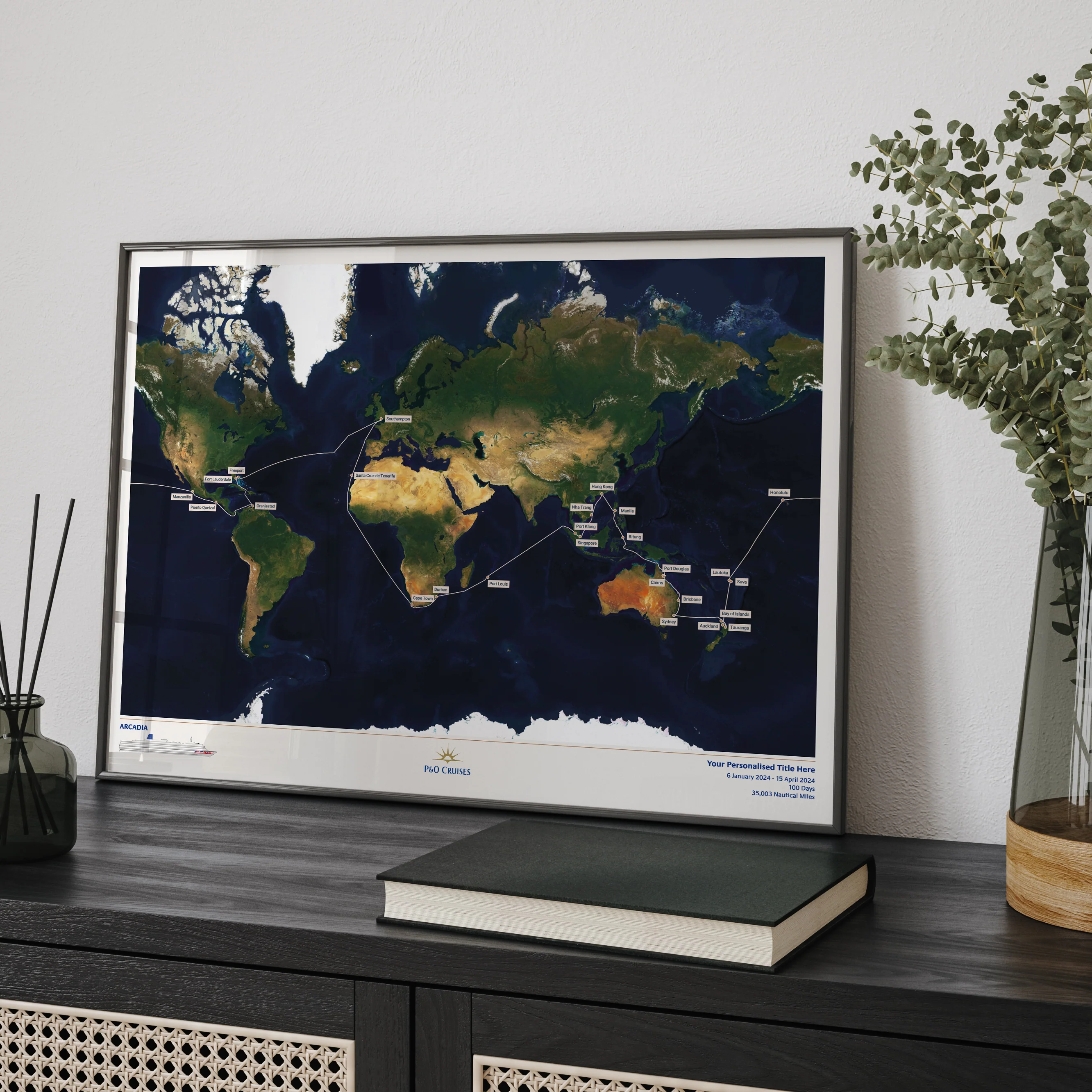
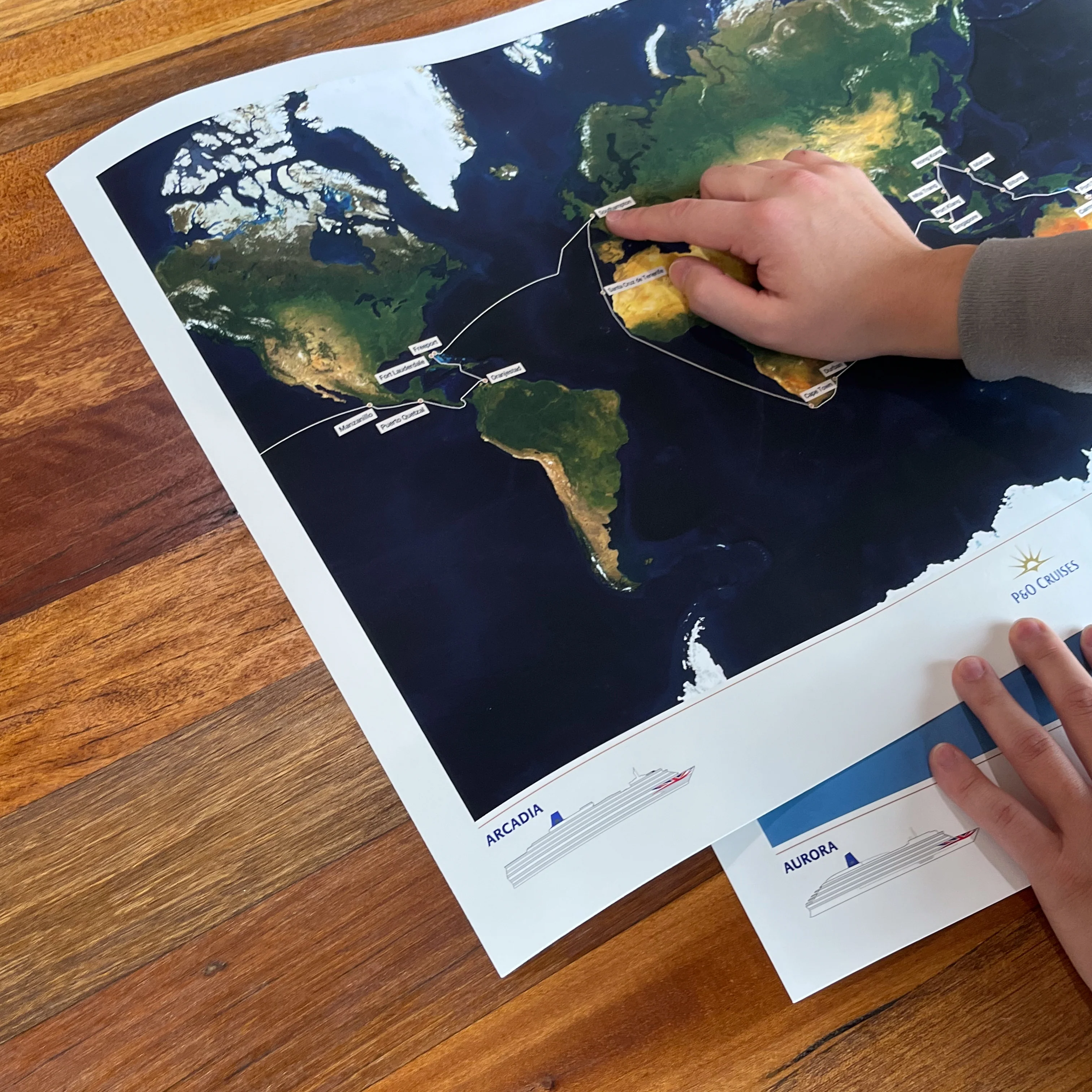
Each map is made to order using AIS (satellite ship-tracking) data to show where you actually went, rather than just the itinerary route. Just tell us the name of your river cruise ship, along with start and end points and we'll do the rest.
Please note digital prints are intended for personal use only, and must not be redistributed or resold.
Product Details:
High resolution PNG digital image file
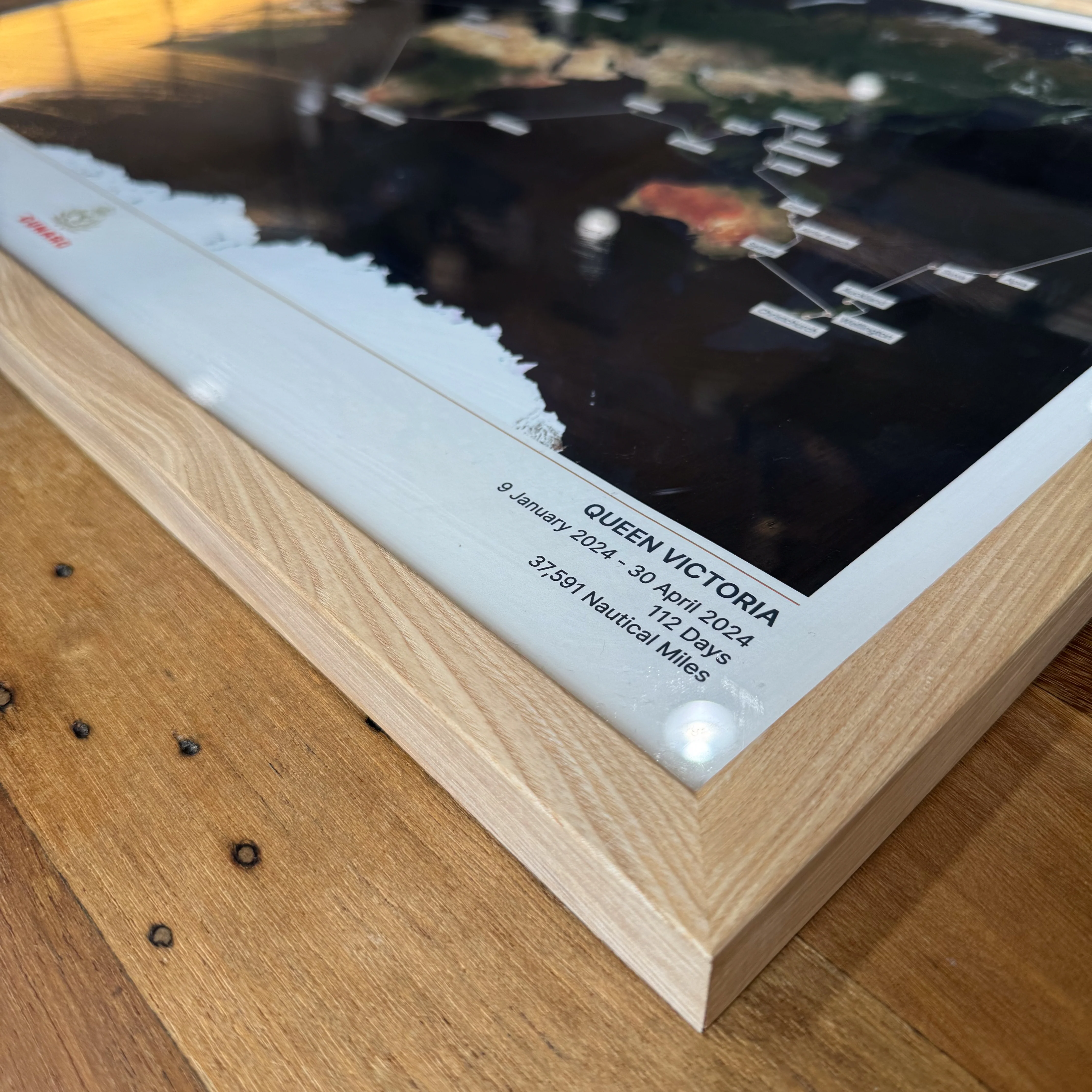
Optimised for A4 (21 x 29.7cm)
Delivered via email attachment
Estimated delivery time: 3 working days
Original: $54.25
-70%$54.25
$16.27More Images
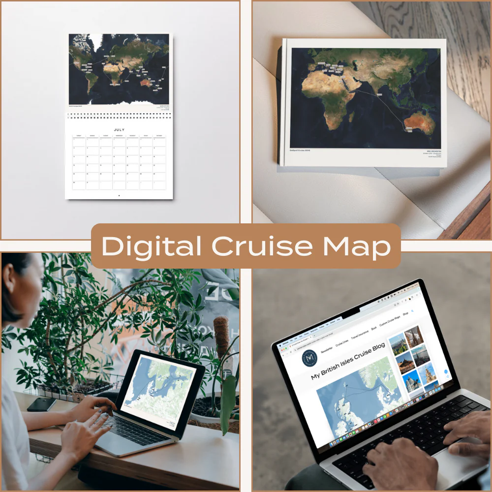
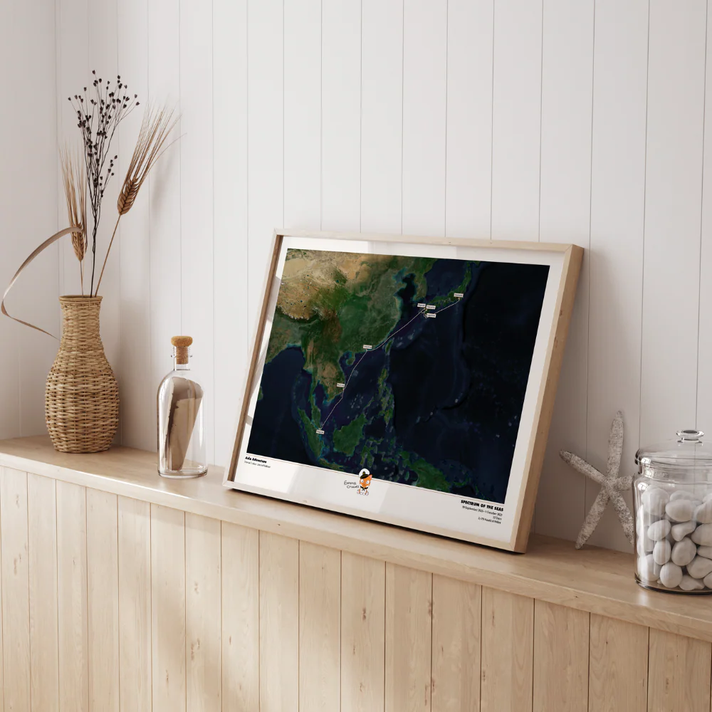
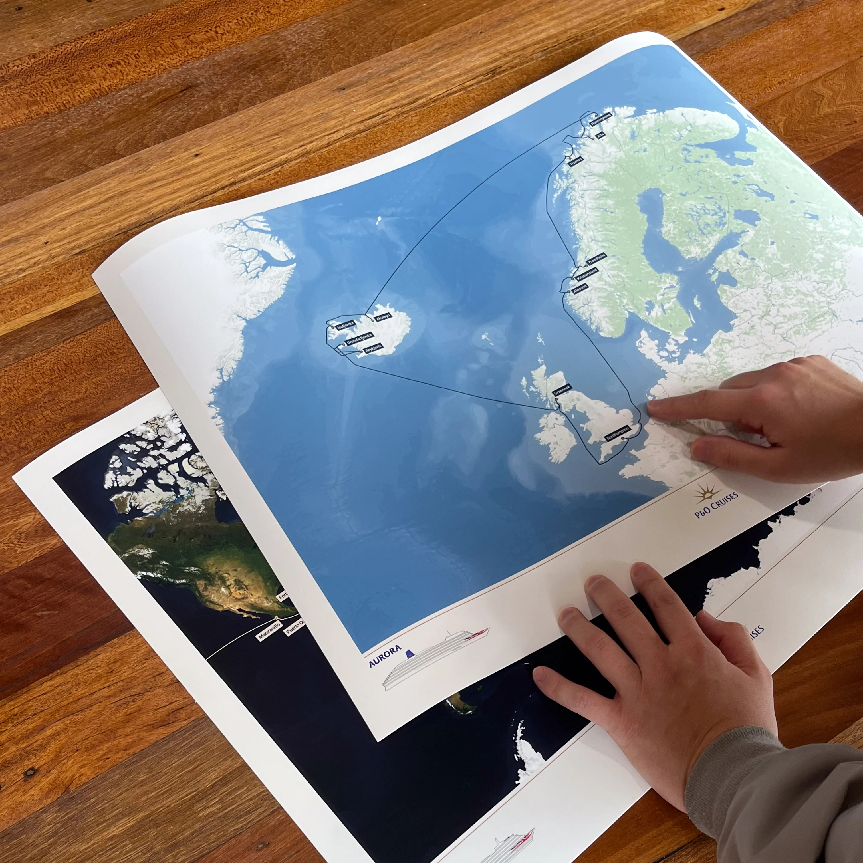
Digital Custom River Cruise Map
A high resolution digital map of your North American or European river cruise, perfect for adding to a photo book or calendar, or using in a blog or photo journal.
Each map is made to order using AIS (satellite ship-tracking) data to show where you actually went, rather than just the itinerary route. Just tell us the name of your river cruise ship, along with start and end points and we'll do the rest.
Please note digital prints are intended for personal use only, and must not be redistributed or resold.
Product Details:
High resolution PNG digital image file
Optimised for A4 (21 x 29.7cm)
Delivered via email attachment
Estimated delivery time: 3 working days
Product Information
Product Information
Shipping & Returns
Shipping & Returns
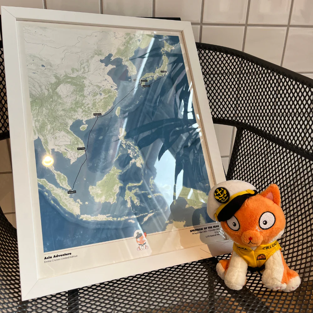
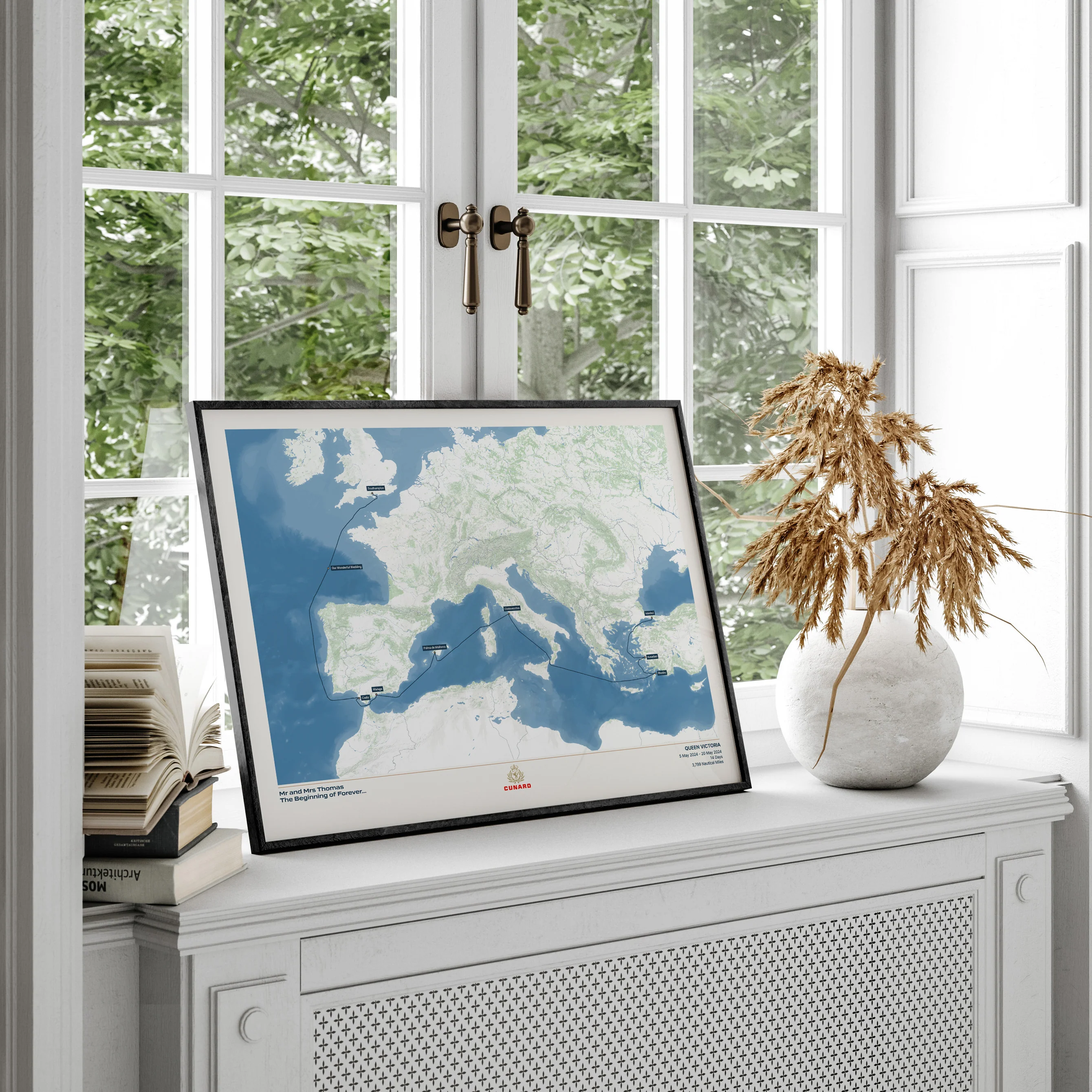
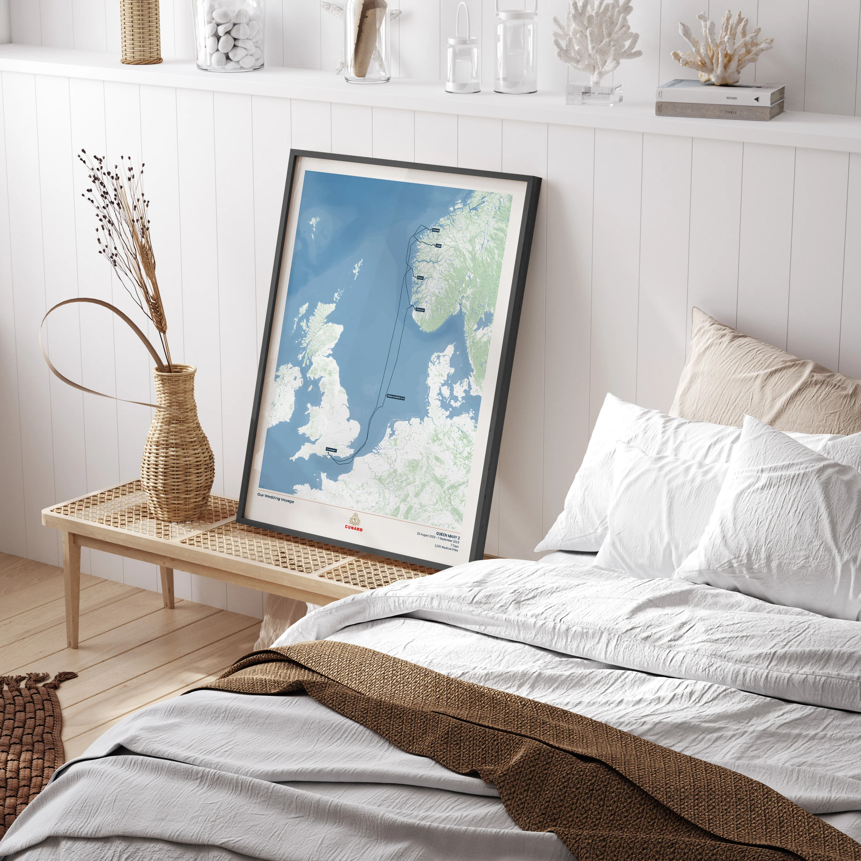
Description
A high resolution digital map of your North American or European river cruise, perfect for adding to a photo book or calendar, or using in a blog or photo journal.
Each map is made to order using AIS (satellite ship-tracking) data to show where you actually went, rather than just the itinerary route. Just tell us the name of your river cruise ship, along with start and end points and we'll do the rest.
Please note digital prints are intended for personal use only, and must not be redistributed or resold.
Product Details:
High resolution PNG digital image file
Optimised for A4 (21 x 29.7cm)
Delivered via email attachment
Estimated delivery time: 3 working days